Near West Augusta in Highland County, Virginia — The American South (Mid-Atlantic)
Welcome to Fort Johnson
| — | Confederate Breastworks Trail | — |
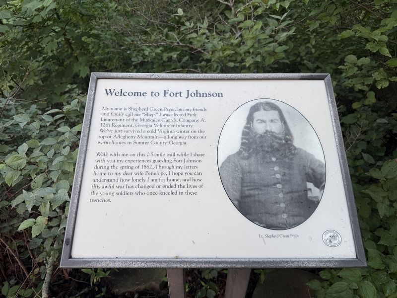
My name is Shepherd Green Pryor, but my friends and family call me “Shep.” I was elected First Lieutenant of the Muckalee Guards, Company A, 12th Regiment, Georgia Volunteer Infantry. We’ve just survived a cold Virginia winter on the top of Allegheny Mountain – a long way from our warm homes in Sumter County, Georgia.
Walk with me on this 0.5-mile trail while I share with you my experiences guarding Fort Johnson during the spring of 1862. Through my letters home to my dear wife Penelope, I hope you can understand how lonely I am for home, and how this awful war has changed or ended the lives of the young soldiers who once kneeled in these trenches.
Erected by Forest Service, U.S. Department of Agriculture.
Topics. This historical marker is listed in these topic lists: Forts and Castles • War, US Civil. A significant historical year for this entry is 1862.
Location. 38° 18.7′ N, 79° 23.05′ W. Marker is near West Augusta, Virginia, in Highland County. It can be reached from Highland Turnpike (U.S. 250) west of Farm to Market Road 396, on the right when traveling west. Part of the “Confederate Breastworks Trail”
this page online

Regionally, this marker is in the Shenandoah Valley, in the Alleghany Highlands, and specifically in the Potomac Highlands. It is also in the American South, specifically in the Upper South, in Appalachia, and specifically in Southern Appalachia. Globally, it is in North America, the Western Hemisphere, the Western World, and the Anglosphere. Historically, it finds itself in what was once the territory of the Mississippian Culture, one of the original Thirteen Colonies, one of the Confederate States of America, and the Antebellum South.
Other nearby markers. At least 8 other markers are within walking distance of this marker: Fort Edward Johnson (a few steps from this marker); Confederate Breastworks Trail (a few steps from this marker); “It was cold business…” (within shouting distance of this marker); “The Shenandoah Mountain Pass is grand indeed…” (within shouting distance of this marker); Highland County / Augusta County (within shouting distance of this marker); a different

Photographed by Robert H. Moore, II, February 27, 2009
2. Welcome to Fort Johnson Marker
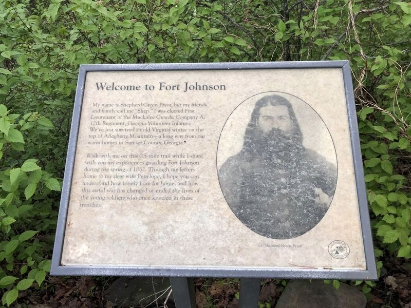
This is a previous iteration of the marker. Note that the inscriptions are identical, although the original marker had weathered mildly.
Another marker is no longer nearby. Confederate Breastworks Interpretive Trail (was a few steps from this marker but has been replaced with another marker now near it).
More about this marker. On the left is a photograph of Lt. Shepherd Green Pryor.
Photographed by Devry Becker Jones (CC0), May 8, 2021
3. Welcome to Fort Johnson Marker
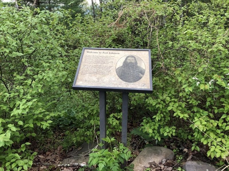
The marker has weathered.
Photographed by Robert H. Moore, II, February 27, 2009
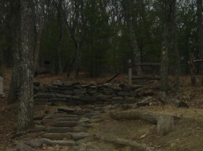
5. View of the walking path from the Welcome to Fort Johnson Marker
Credits. This page was last revised on August 8, 2026. It was originally submitted on March 6, 2009, by Robert H. Moore, II of Winchester, Virginia. This page has been viewed 2,016 times since then and 52 times this year. Photos: 1. submitted on August 8, 2026, by Devry Becker Jones of Washington, District of Columbia. 2. submitted on March 6, 2009, by Robert H. Moore, II of Winchester, Virginia. 3, 4. submitted on May 8, 2021, by Devry Becker Jones of Washington, District of Columbia. 5. submitted on March 6, 2009, by Robert H. Moore, II of Winchester, Virginia. • Craig Swain was the editor who published this page.
