La Vernia in Wilson County, Texas — The American South (West South Central)
Immanuel Lutheran Cemetery
Photographed by James Hulse, February 21, 2021
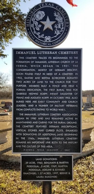
1. Immanuel Lutheran Cemetery Marker
This cemetery traces its beginnings to the formation of Immanuel Lutheran Church of La Vernia, which began in 1901. The congregation, mostly of German descent, soon found itself in need of a cemetery. In 1902, Gustav and Bertha Schroeder donated two acres of land to the church for that purpose. Members built a fence and held a formal dedication. The first burial was for Gabriele Hedwig Koepp, infant daughter of Franz and Augusta Koepp, in October 1902. Also buried here are early community and church leaders, and a number of military veterans from conflicts dating to World War I.
The Immanuel Lutheran Cemetery Association began in 1980 and has remained active in maintaining and caring for the burial ground. The cemetery features German inscriptions, vertical stones and curbed plots. Enlarged with donations of additional land beginning in the 1960s, Immanuel Lutheran Cemetery remains an important link both to the history and the culture of this area.
Historic Texas Cemetery - 2001
Erected 2001 by Texas Historical Commission. (Marker Number 13555.)
Topics. This historical marker is listed in this topic list: Cemeteries & Burial Sites. A significant historical month for this entry is October 1902.
Location. 29° 21.767′ N, 98° 8.714′ W. Marker is in La Vernia, Texas, in Wilson County. It is on Farm to Market Road 1346 0.8 miles north of U.S. 87, on the left when traveling west. The marker is located in the northwest section of the Immanuel Lutheran Cemetery. Touch for map. Marker is in this post office area: La Vernia TX 78121, United States of America. Touch for directions.

Regionally, this marker is in the Hill Country and in the San Antonio Metropolitan Area. It is also in the American South. Globally, it is in North America, a Gulf of Mexico state, the Western Hemisphere, the Western World, and the Anglosphere.
this page online
Other nearby markers. At least 8 other markers are within 2 miles of this marker, measured as the crow flies: Applewhite Homestead (approx. 1.3 miles away); Beall Cemetery (approx. 1.7 miles away); La Vernia United Methodist Church (approx. 1.7 miles away); a different marker also named La Vernia United Methodist Church (approx. 1.7 miles away); Brahan Lodge No. 226, A.F. & A.M. (approx. 1.7 miles away); Deaf Smith Oak Tree - the Next Generation (approx. 1.9 miles away); Rector Chapel Bell (approx. 1.9 miles away); La Vernia (approx. 1.9 miles away). Touch for a list and map of all markers in La Vernia.
Photographed by James Hulse, February 21, 2021
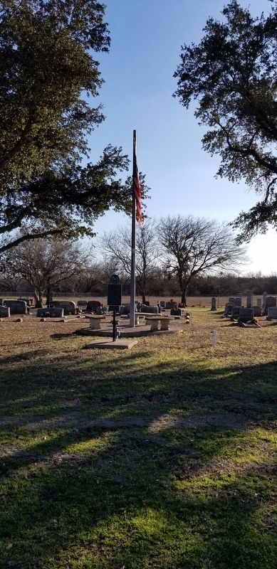
2. Immanuel Lutheran Cemetery Marker and US flag
Photographed by James Hulse, February 21, 2021
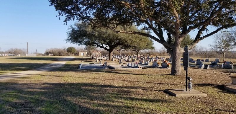
3. A view of the Immanuel Lutheran Cemetery and marker
Credits. This page was last revised on March 2, 2021. It was originally submitted on March 1, 2021, by James Hulse of Medina, Texas. This page has been viewed 354 times since then and 45 times this year. Photos: 1, 2, 3. submitted on March 1, 2021, by James Hulse of Medina, Texas.
