Elm Springs in Washington County, Arkansas — The American South (West South Central)
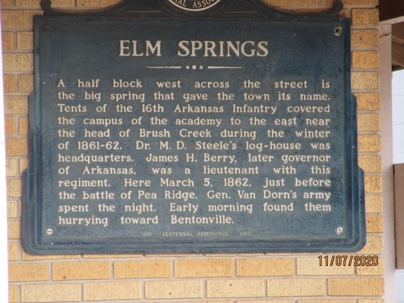
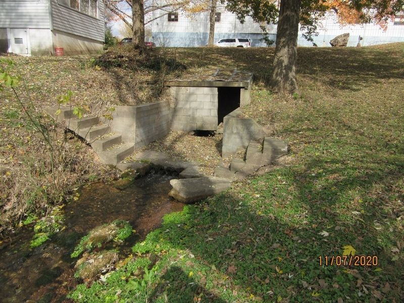
Elm Springs
Erected 1962 by Pea Ridge Memorial Association.
Topics. This historical marker is listed in this topic list: War, US Civil. A significant historical date for this entry is March 5, 1862.
Location. 36° 12.386′ N, 94° 14.096′ W. Marker is in Elm Springs, Arkansas, in Washington County. Marker is at the intersection of Water Avenue and North Elm Street (State Highway 112), on the right when traveling west on Water Avenue. Located on side of building. Touch for map. Marker is at or near this postal address: 100 Water Ave, Elm Springs AR 72728, United States of America. Touch for directions.
Other nearby markers. At least 8 other markers are within 6 miles of this marker, measured as the crow flies. Elm Springs in the Civil War (within shouting distance of this marker); Elm Springs Cemetery (approx. ¼ mile away); Mt. Hebron Church and Cemetery (approx. 5.3 miles away); Wartime Gristmill Destruction (approx. 5.7 miles away); Old Mill Road/Mill Street (approx. 6 miles away); Holcomb's Spring in the Civil War (approx. 6 miles away); Shiloh Memorial Park (approx. 6 miles away); Regular Baptist Church of Shilo (approx. 6 miles away). Touch for a list and map of all markers in Elm Springs.
Credits. This page was last revised on March 2, 2021. It was originally submitted on March 2, 2021, by Jason Armstrong of Talihina, Oklahoma. This page has been viewed 154 times since then and 27 times this year. Photos: 1, 2. submitted on March 2, 2021, by Jason Armstrong of Talihina, Oklahoma. • Bernard Fisher was the editor who published this page.

