Bentonville in Benton County, Arkansas — The American South (West South Central)
Col. Samuel W. Peel House
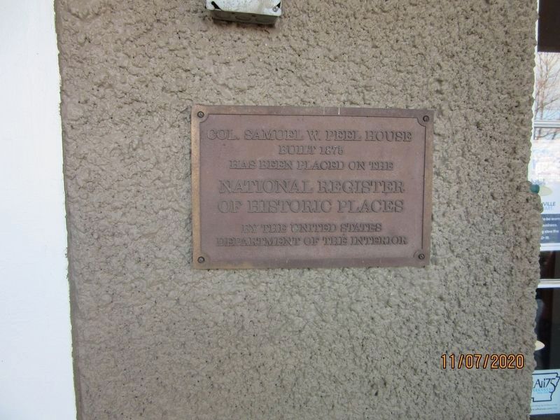
Photographed by Jason Armstrong, November 7, 2020
1. Col. Samuel W. Peel House Marker
Built 1876
has been placed on the
National Register
of Historic Places
by the United States
Department of the Interior
Erected 1995 by United States Department of the Interior.
Topics. This historical marker is listed in these topic lists: Architecture • Industry & Commerce • War, US Civil. A significant historical year for this entry is 1875.
Location. 36° 22.149′ N, 94° 13.34′ W. Marker is in Bentonville, Arkansas, in Benton County. It can be reached from South Walton Boulevard (Business U.S. 71) 0.1 miles north of Southwest I Street, on the left when traveling north. Located on the entrance gates of the Peel Mansion Museum & Heritage Gardens. Touch for map. Marker is at or near this postal address: 400 S Walton Blvd, Bentonville AR 72712, United States of America. Touch for directions.

Regionally, this marker is in Northwest Arkansas, on the Ozark Plateau, in the Cherokee Heritage Region, and in Osage Territory. It is also in the American South, specifically in the Upper South, and in the Ozarks. Globally, it is in North America, the Western Hemisphere, the
this page online
Other nearby markers. At least 8 other markers are within walking distance of this marker: The Oaks / Congressman Samuel West Peel (within shouting distance of this marker); Confederate Memorial (approx. 0.3 miles away); Craig-Bryan House (approx. 0.6 miles away); Eagle Hotel (approx. 0.7 miles away); Meteor Theatre (approx. ¾ mile away); Benton County National Bank (approx. ¾ mile away); Frisco Depot (approx. ¾ mile away); Benton County Hardware (approx. ¾ mile away). Touch for a list and map of all markers in Bentonville.
Another marker is no longer nearby. Big Tree (was within shouting distance of this marker but has been permanently removed).
Also see . . . Col. Samuel W. Peel House. (Submitted on March 4, 2021, by Jason Armstrong of Talihina, Oklahoma.)
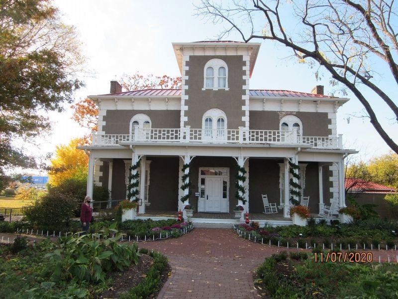
Photographed by Jason Armstrong, November 7, 2020
2. Col. Samuel W. Peel House
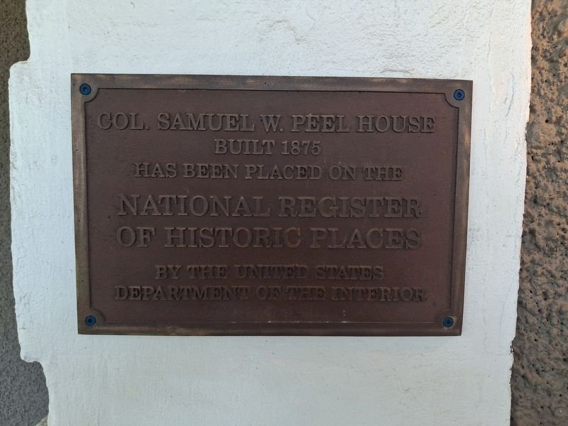
Photographed by Marc Hayot, June 30, 2026
3. Col. Samuel W. Peel House Marker
Credits. This page was last revised on July 11, 2026. It was originally submitted on March 4, 2021, by Jason Armstrong of Talihina, Oklahoma. This page has been viewed 348 times since then and 46 times this year. Photos: 1, 2. submitted on March 4, 2021, by Jason Armstrong of Talihina, Oklahoma. 3. submitted on June 30, 2026, by Marc Hayot of Siloam Springs, Arkansas. • Devry Becker Jones was the editor who published this page.
