Near Streetman in Navarro County, Texas — The American South (West South Central)
Cade Cemetery
Photographed by James Hulse, February 25, 2021
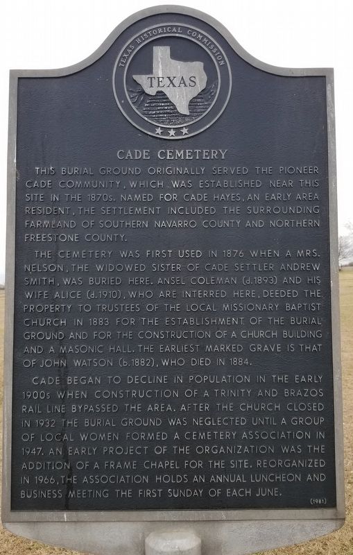
1. Cade Cemetery Marker
This burial ground originally served the pioneer Cade community, which was established near this site in the 1870s. Named for Cade Hayes, an early area resident, the settlement included the surrounding farmland of southern Navarro County and northern Freestone County.
The cemetery was first used in 1876 when a Mrs. Nelson, the widowed sister of Cade settler Andrew Smith, was buried here. Ansel Coleman (d. 1883) and his wife Alice (d. 1910), who are interred here, deeded the property to trustees of the local Missionary Baptist Church in 1883 for the establishment of the burial ground and for the construction of a church building and a Masonic Hall. The earliest marked grave is that of John Watson (b. 1882), who died in 1884.
Cade began to decline in population in the early 1900s when construction of a Trinity and Brazos rail line bypassed the area. After the church closed in 1932 the burial ground was neglected until a group of local women formed a cemetery association in 1947. An early project of the organization was the addition of a frame chapel for the site. Reorganized in 1966, the association holds an annual luncheon and business meeting the first Sunday of each June.
Erected 1981 by Texas Historical Commission. (Marker Number 9865.)
Topics. This historical marker is listed in these topic lists: Cemeteries & Burial Sites • Religion & Religious Structures. A significant historical year for this entry is 1876.
Location. 31° 52.166′ N, 96° 21.112′ W. Marker is near Streetman, Texas, in Navarro County. It is at the intersection of Farm to Market Road 246 and County Highway 1040, on the left when traveling south on Highway 246. Touch for map. Marker is in this post office area: Wortham TX 76693, United States of America. Touch for directions.

Regionally, this marker is in the Prairies & Lakes Region.
this page online
Other nearby markers. At least 8 other markers are within 6 miles of this marker, measured as the crow flies: Birdston Community and Cemetery (approx. 3.9 miles away); Birdston Veterans Memorial (approx. 3.9 miles away); Flag Memorial Richland Cemetery (approx. 5.6 miles away); Richland Cemetery (approx. 5.6 miles away); Caney Baptist Church (approx. 5.6 miles away); First Methodist Church of Richland (approx. 5.8 miles away); Site of Woodland College for Boys (approx. 5.9 miles away); Woodland Cemetery (approx. 5.9 miles away). Touch for a list and map of all markers in Streetman.
Photographed by James Hulse, February 25, 2021
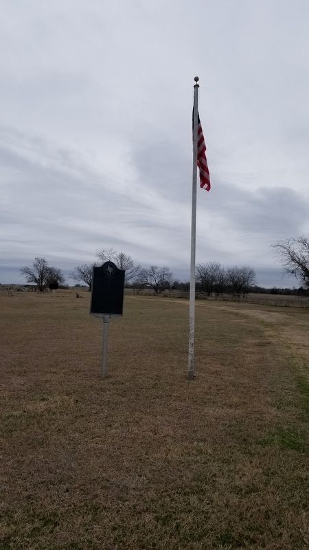
2. The Cade Cemetery and Marker
Photographed by James Hulse, February 25, 2021
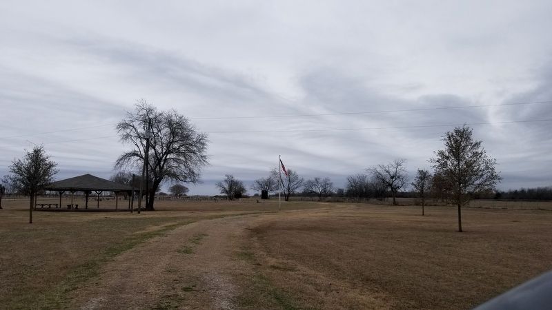
3. The view of the Cade Cemetery from the entrance
Credits. This page was last revised on March 5, 2021. It was originally submitted on March 4, 2021, by James Hulse of Medina, Texas. This page has been viewed 554 times since then and 48 times this year. Photos: 1, 2, 3. submitted on March 4, 2021, by James Hulse of Medina, Texas.
