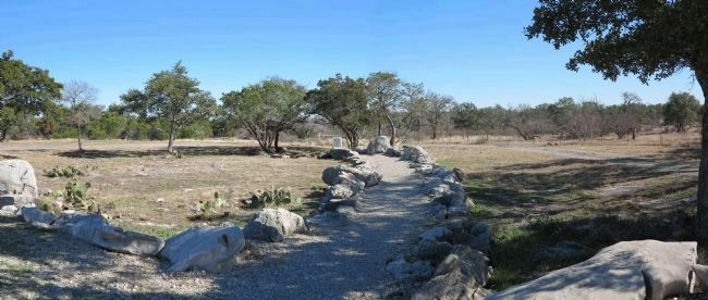
Near Marble Falls in Burnet County, Texas — The American South (West South Central)
Dead Man's Hole
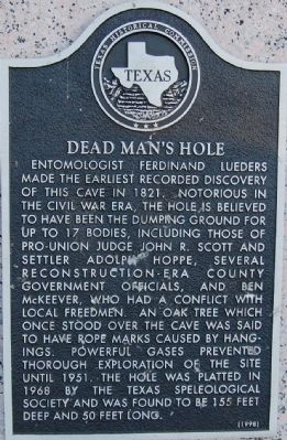
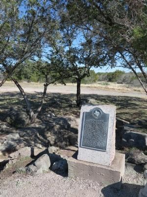
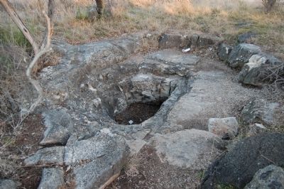
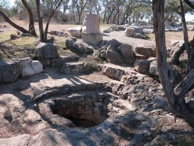
Entomologist Ferdinand Lueders made the earliest recorded discovery of this cave in 1821. Notorious in the Civil War era, the hole is believed to have been the dumping ground for up to 17 bodies, including those of pro-Union Judge John R. Scott and settler Adolph Hoppe, several reconstruction-era county government officials, and Ben McKeever, who had a conflict with local freedmen. An oak tree which once stood over the cave was said to have rope marks caused by hangings. Powerful gases prevented thorough exploration of the site until 1951. The hole was platted in 1968 by the Texas Speleological Society and was found to be 155 feet deep and 50 feet long.
Erected 1998 by Texas Historical Commission. (Marker Number 11772.)
Topics. This historical marker is listed in this topic list: War, US Civil. A significant historical year for this entry is 1821.
Location. 30° 31.707′ N, 98° 15.902′ W. Marker is near Marble Falls, Texas, in Burnet County. Marker can be reached from CR-401, 0.1 miles CR405. Touch for map. Marker is in this post office area: Marble Falls TX 78654, United States of America. Touch for directions.
Other nearby markers. At least 8 other markers are within 3 miles of this marker, measured as the crow flies. Captain Jesse Burnam (approx. 1.9 miles away); Floyd Tillman (approx. 2.9 miles away); Marble Falls Factory Site (approx. 2.9 miles away); Brandt Badger House (approx. 3 miles away); 1910 Post Office Building (approx. 3 miles away); The Roper Hotel (approx. 3 miles away); Michel's Drug Store (approx. 3.1 miles away); Jim Lovell (approx. 3.1 miles away). Touch for a list and map of all markers in Marble Falls.
Also see . . . Texas Escapes. Dead Man's Hole (Submitted on February 13, 2010, by Keith Peterson of Cedar Park, Texas.)
Credits. This page was last revised on March 6, 2021. It was originally submitted on February 13, 2010, by Keith Peterson of Cedar Park, Texas. This page has been viewed 4,040 times since then and 89 times this year. Last updated on March 6, 2021, by Richard Denney of Austin, Texas. Photos: 1. submitted on February 13, 2010, by Keith Peterson of Cedar Park, Texas. 2. submitted on January 15, 2014, by Richard Denney of Austin, Texas. 3. submitted on February 13, 2010, by Keith Peterson of Cedar Park, Texas. 4, 5. submitted on January 15, 2014, by Richard Denney of Austin, Texas. • J. Makali Bruton was the editor who published this page.
