Near Summerville in Chattooga County, Georgia — The American South (South Atlantic)
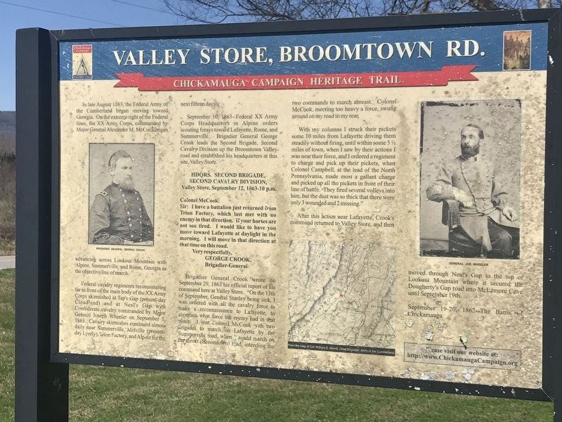
Valley Store, Broomtown Rd.
Chickamauga Campaign Heritage Trail
Federal cavalry regiments reconnoitering far in front of the main body of the XX Army Corps skirmished at Tap's Gap (present-day Cloudland) and at Neal's Gap with Confederate cavalry commanded by Major General Joseph Wheeler on September 1, 1863. Cavalry skirmishes continued almost daily near Summerville, Melville (present-day Lyerly), Trion Factory, and Alpine for the next fifteen days.
September 10, 1863 -- Federal XX Army Corps Headquarters in Alpine orders scouting forays toward Lafayette, Rome, and Summerville. Brigadier General George Crook leads the Second Brigade, Second Cavalry Division up the Broomtown Valley road and established his headquarters at this site, Valley Store.
Second Cavalry Division,
Valley Store, September 12, 1863-10 p.m.
Sir: I have a battalion just returned from Trion Factory, which last met with no enemy in that direction. If your horses are not too tired. I would like to have you move toward Lafayette at daylight in the morning. I will move in that direction at that time on this road.
George Crook,
Brigadier-General
Brigadier General Crook wrote on September 29, 1863 his official report of his command here at Valley Store. “On the 13th of September, General Stanley being sick, ! was ordered with all the cavalry force to make a reconnaissance to Lafayette, to ascertain what force the enemy had in that place. I sent Colonel McCook with two brigades to march on Lafayette by the Summerville road, when I would march on the direct (Broomtown) road, intending the two commands to march abreast. Colonel McCook, meeting too heavy a force, swung around on my road in my rear.
With my columns I struck their pickets some 10 miles from Lafayette driving them steadily without firing, until within some 3½ miles of town, when I saw by their actions I was near their force, and I ordered a regiment to charge and pick up their pickets, when Colonel Campbell, at the lead of the North Pennsylvania, made most a gallant charge and picked up all the pickets in front of their line of battle. They fired several volleys into him, but the dust was so thick that there were only 3 wounded and 2 missing."
After this action near Lafayette, Crook's command returned to Valley Store, and then moved through Neal's Gap to the top of Lookout Mountain where it secured the Dougherty's Gap road into McLemore Cove until September 19th.
September 19-20, 1863 -- The Battle of Chickamauga.
Captions (left to right):
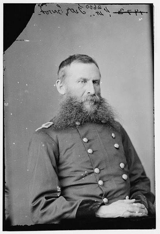
• Brigadier General George Crook
• From the map of Col. William E. Merrill, Chief Engineer, Army of the Cumberland
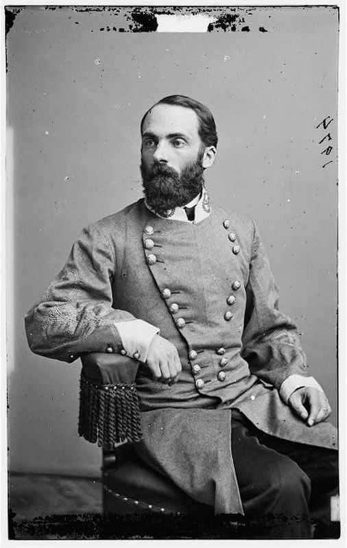
• General Joe Wheeler
Erected by Chickamauga Campaign Heritage Trail.
Topics and series. This historical marker is listed in this topic list: War, US Civil. In addition, it is included in the Chickamauga Campaign Heritage Trail series list. A significant historical month for this entry is August 1863.
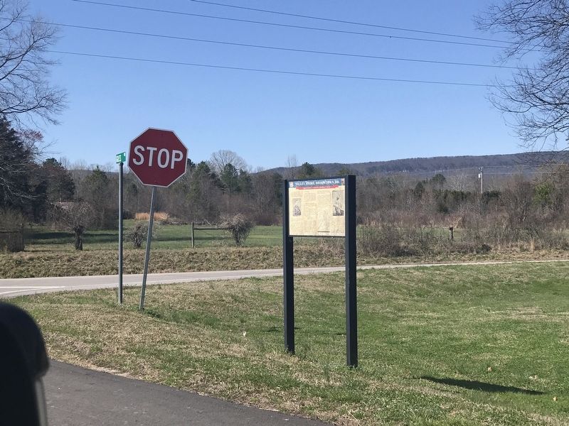
Location. 34° 34.88′ N, 85° 22.035′ W. Marker is near Summerville, Georgia, in Chattooga County. Marker is at the intersection of Georgia Route 337 and Giles Road, on the right when traveling north on State Route 337. Touch for map. Marker is in this post office area: Summerville GA 30747, United States of America. Touch for directions.
Other nearby markers. At least 8 other markers are within 10 miles of this marker, measured as the crow flies. First Cotton Mill In Northwest Georgia (approx. 4 miles away); Trion Factory (approx. 4.4 miles away); a different marker also named Trion Factory (approx. 4.7 miles away); Chattooga County (approx. 7.1 miles away); The Couey House (approx. 7.2 miles away); Summerville, Georgia (approx. 7.2 miles away); Boyles Yard Turntable Named Summerville Railroad Turntable (approx. 7.2 miles away); La Fayette Presbyterian Memorial Park (approx. 9.9 miles away). Touch for a list and map of all markers in Summerville.
Credits. This page was last revised on March 7, 2021. It was originally submitted on March 7, 2021, by Duane and Tracy Marsteller of Murfreesboro, Tennessee. This page has been viewed 240 times since then and 30 times this year. Photos: 1, 2, 3, 4. submitted on March 7, 2021, by Duane and Tracy Marsteller of Murfreesboro, Tennessee.


