Beallsville in Montgomery County, Maryland — The American Northeast (Mid-Atlantic)
Beallsville
Squabble at the cemetery: Whose flag flies today?
— Antietam Campaign 1862 —
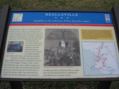
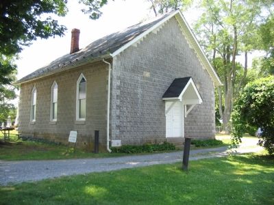
During the Civil War, the crossroads village of Beallsville was known as Monocacy Church, for the 1748 Anglican “Chapel of Ease” across the field before you. Union soldiers camped nearby in the fall of 1861 and virtually destroyed the church by using the pews for firewood and stabling their horses inside. The crossroads here, where the road from Rockville to the mouth of the Monocacy River and Nolands Ferry crossed the road from Edwards Ferry to Hyattstown, made Beallsville a strategic location.
(sidebar)
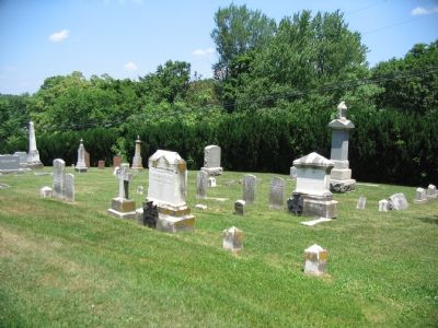
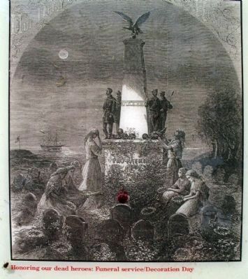
After the war, the E.V. White Chapter of the United Daughters of the Confederacy rebuilt Monocacy Church. They held funeral services there for local Confederate veterans buried just north of the church in Monocacy Cemetery, to “honor the valor of the soldiers who wore the gray.” Every June 3, the birthday of Jefferson Davis, townspeople cleaned the cemetery and children decorated the tombstones with flowers. After a Southern congressman gave an oration, the ceremonies concluded with a potluck luncheon.
Erected by Maryland Civil War Trails.
Topics and series. This historical marker is listed in these topic lists: Churches & Religion • War, US Civil. In addition, it is included in the Maryland Civil War Trails, and the United Daughters of the Confederacy series lists. A significant historical year for this entry is 1862.
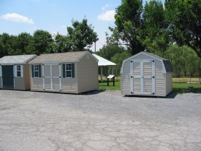
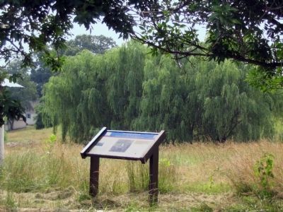
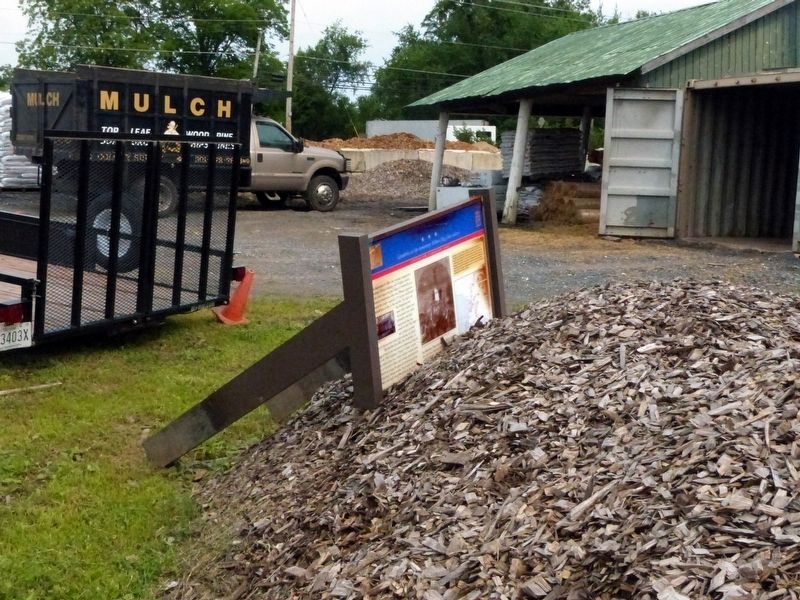
Location. 39° 10.744′ N, 77° 24.789′ W. Marker is in Beallsville, Maryland, in Montgomery County. Marker is at the intersection of Beallsville Road (Maryland Route 109) and Darnestown Road (Maryland Route 28), on the right when traveling south on Beallsville Road. This marker is easily missed and is blocked from view occasionally by placement of storage sheds on display. Touch for map. Marker is at or near this postal address: 19800 Darnestown Rd, Beallsville MD 20839, United States of America. Touch for directions.
Other nearby markers. At least 8 other markers are within 2 miles of this marker, measured as the crow flies. The Darby Family (about 300 feet away, measured in a direct line); The Darby Store (about 300 feet away); The Country Store (about 300 feet away); In Loving Memory (about 600 feet away); African American Soldiers from Montgomery County (approx. 0.8 miles away); Brewer Farmstead (approx. 0.9 miles away); Equestrian Heritage (approx. 0.9 miles away); Washington's Farm (approx. 1½ miles away). Touch for a list and map of all markers in Beallsville.
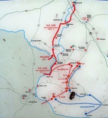
More about this marker. The marker displays a photo of the Chapel of Ease as it stands today, a drawing depicting Decoration Day, and a map detailing unit movements in the Antietam Campaign.
Additional commentary.
1. Second Skirmish
Not mentioned on the marker, a second cavalry battle occurred in Beallsville about a month later, on October 12, 1862. The action was part of Gen. J.E.B. Stuart's second ride around the Army of the Potomac. While returning to White’s Ford, Stuart was confronted with Federal forces based out of Beallsville about a mile north of the Chapel. Artillery held the Federals at bay and Stuart crossed the Potomac in good order.
— Submitted July 14, 2007, by Craig Swain of Leesburg, Virginia.
Photographed By Craig Swain, July 7, 2007
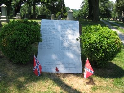
9. Tablet Honoring the Confederate Veterans
“In loving memory of the valor and self sacrifice of the Maryland soldiers in the Confederate Army whose names are inscribed hereon. War of 1861–1865. (list of names) This tablet is erected by the Ladies of Old Medley’s District, Montgomery Co., Md. — 1911. This tablet was replaced by the Ladies Auxiliary of the Monocacy Cemetery — 1975.
Credits. This page was last revised on February 21, 2023. It was originally submitted on July 14, 2007, by Craig Swain of Leesburg, Virginia. This page has been viewed 3,838 times since then and 87 times this year. Photos: 1, 2. submitted on July 14, 2007, by Craig Swain of Leesburg, Virginia. 3. submitted on July 26, 2015, by Allen C. Browne of Silver Spring, Maryland. 4, 5. submitted on July 14, 2007, by Craig Swain of Leesburg, Virginia. 6, 7. submitted on July 26, 2015, by Allen C. Browne of Silver Spring, Maryland. 8. submitted on June 16, 2018, by Allen C. Browne of Silver Spring, Maryland. 9. submitted on July 14, 2007, by Craig Swain of Leesburg, Virginia. • J. J. Prats was the editor who published this page.
