Calvert in Robertson County, Texas — The American South (West South Central)
Town of Calvert
Photographed by James Hulse, March 3, 2021
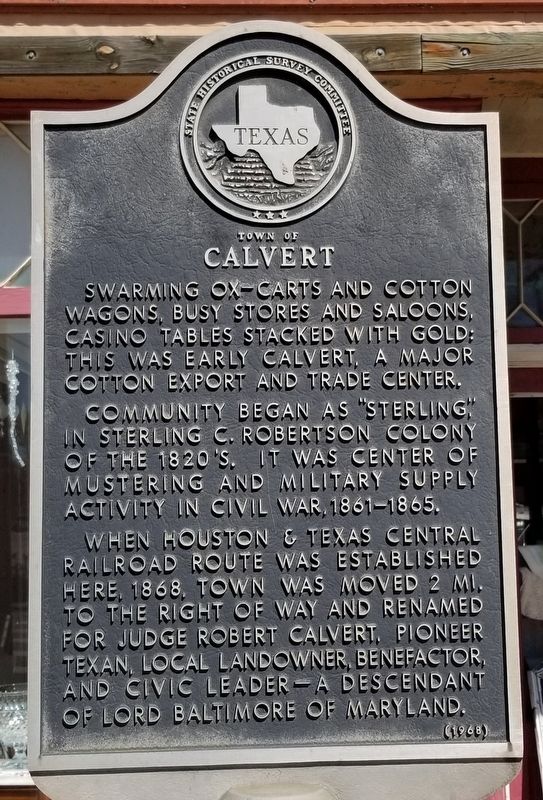
1. Town of Calvert Marker
Swarming ox-carts and cotton wagons, busy stores and saloons, casino tables stacked with gold: this was early Calvert, a major cotton export and trade center.
Community began as "Sterling," in Sterling C. Robertson colony of the 1820s. It was center of mustering and military supply activity in Civil War, 1861-1865.
When Houston & Texas Central Railroad route was established here, 1868, town was moved 2 mi. to the right of way and renamed for Judge Robert Calvert, pioneer Texan, local landowner, benefactor, and civic leader - a descendant of Lord Baltimore of Maryland.
Erected 1968 by State Historical Survey Committee. (Marker Number 10905.)
Topics. This historical marker is listed in these topic lists: Industry & Commerce • Railroads & Streetcars • Settlements & Settlers • War, US Civil. A significant historical year for this entry is 1868.
Location. 30° 58.724′ N, 96° 40.459′ W. Marker is in Calvert, Texas, in Robertson County. It is at the intersection of Main Street (State Highway 6) and Burnett Street, on the right when traveling north on Main Street. Touch for map. Marker is at or near this postal address: 600 Main Street, Calvert TX 77837, United States of America. Touch for directions.

Regionally, this marker is in the Prairies & Lakes Region. It is also in the American South. Globally, it is in North America, a Gulf of Mexico state, the Western Hemisphere, the Western World, and the Anglosphere. Historically, it finds itself in what was once New Spain, the Republic of Texas, one of the Confederate States of America, and the Antebellum South.
Other nearby markers. At least 8 other markers are within walking distance of this marker: Cobb’s Market (within shouting distance of this marker); Casimir Drugstore (within shouting distance of this marker); Home Area of Chinese Farmers
this page online
Also see . . .
1. Robertson's Colony.
The colonization enterprise that eventually became known as Robertson's colony had previously been referred to as the Texas Association, Leftwich's Grant, the Nashville colony, or the upper colony. The name Texas Association was applied to a group of seventy individuals who, on March 2, 1822, in Nashville, Tennessee, addressed a memorial to the independent government of Mexico, asking for permission to settle in Texas. Source: The Handbook of Texas(Submitted on March 7, 2021, by James Hulse of Medina, Texas.)
2. Calvert, Robert (1802–1867).
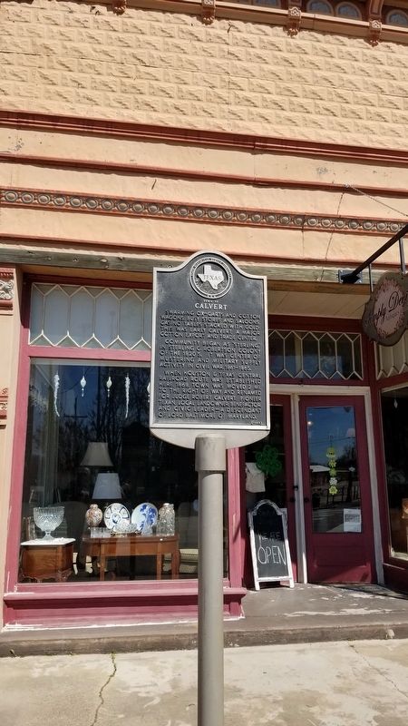
Calvert settled in Robertson County, Texas, in 1850. He cleared a large plantation in the Brazos(Submitted on March 7, 2021, by James Hulse of Medina, Texas.)River valley and grew corn and cotton, making a substantial fortune. From 1853 to 1855 Judge Calvert served in the House of the Fifth Texas Legislature for District 46, comprised of Milam and Robertson counties. Calvert became an influential man both during his time in the legislature and by aiding the Confederate war effort by provisioning the army. Source: The Handbook of TexasPhotographed by James Hulse, March 3, 20212. Town of Calvert Marker
Photographed by James Hulse, March 3, 2021
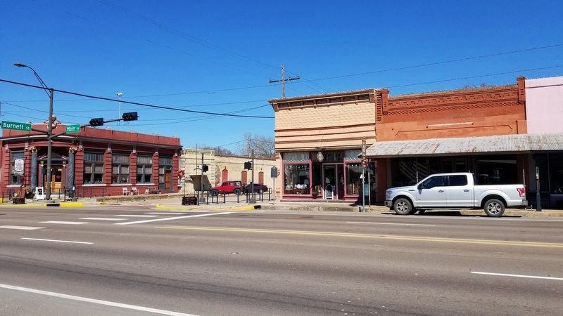
3. The view of the Town of Calvert Marker from across the street
Credits. This page was last revised on March 7, 2021. It was originally submitted on March 7, 2021, by James Hulse of Medina, Texas. This page has been viewed 973 times since then and 179 times this year. Photos: 1, 2, 3. submitted on March 7, 2021, by James Hulse of Medina, Texas.
