Near Rock Spring in Walker County, Georgia — The American South (South Atlantic)
Anderson Campsite
Chickamauga Campaign Heritage Trail
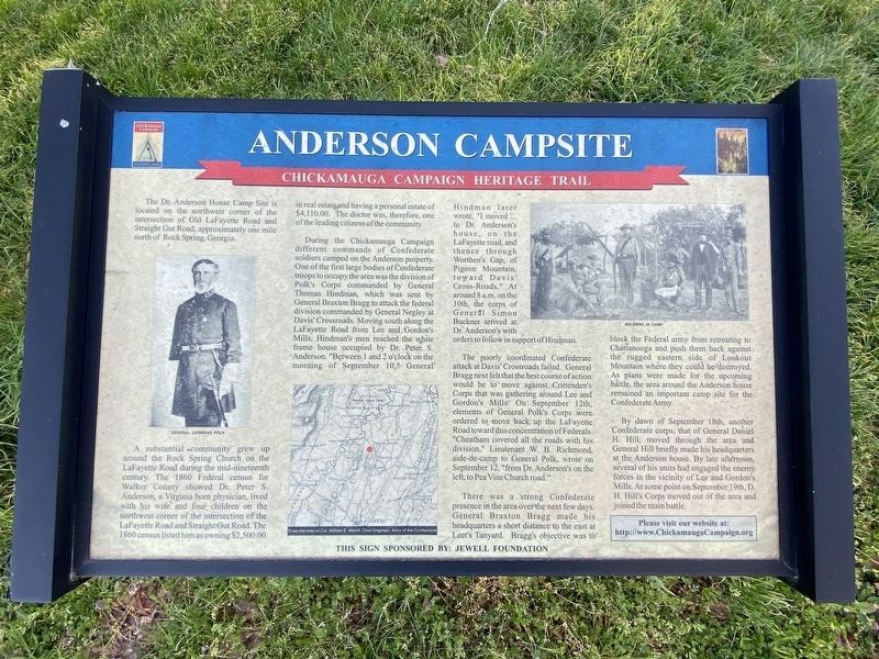
A substantial community grew up around the Rock Spring Church on the LaFayette Road during the mid-nineteenth century. The 1860 Federal census for Walker County showed Dr. Peter S. Anderson, a Virginia born physician, lived with his wife and four children on the northwest corner of the intersection of the LaFayette Road and Straight Gut Road. The 1860 census listed him as owning $2,500.00 in real estate and having a personal estate of $4,110.00. The doctor was, therefore, one of the leading citizens of the community.
During the Chickamauga Campaign different commands of Confederate soldiers camped on the Anderson property. One of the first large bodies of Confederate troops to occupy the area was the division of Polk's Corps commanded by General Thomas Hindman, which was sent by General Braxton Bragg to attack the federal division commanded by General Negley at Davis' Crossroads. Moving south along the Lafayette Road from Lee and Gordon's Mills, Hindman's men reached the white frame house occupied by Dr. Peter S. Anderson. "Between 1 and 2 o'clock on the morning of September 10," General Hindman later wrote, "I moved … to Dr. Anderson's house, on the LaFayette road, and thence through Worthen's Gap, of Pigeon Mountain, toward Davis' Cross-Roads." At around 8 a.m. on the 10th, the corps of General Simon Buckner arrived at Dr. Anderson's with orders to follow in support of Hindman.
The poorly coordinated Confederate attack at Davis' Crossroads failed. General Bragg next felt that the best course of action would be to move against Crittenden's Corps that was gathering around Lee and Gordon's Mills. On September 12th, elements of General Polk's Corps were ordered to move back up the LaFayette Road toward this concentration of Federals. "Cheatham covered all the roads with his division," Lieutenant W. B. Richmond, aide-de-camp to General Polk, wrote on September 12, "from Dr. Anderson's on the left, to Pea Vine Church road."
There was a strong Confederate presence in the area over the next few days. General Braxton Bragg made his headquarters a short distance to the east at Leet's Tanyard. Bragg's objective was to block the Federal army from retreating to Chattanooga and push them back against the rugged eastern side of Lookout Mountain where they could be destroyed. As plans were made for the upcoming battle, the area around the Anderson house remained an important camp site for the Confederate Army.
By dawn of September 18th, another Confederate corps, that of General Daniel H. Hill, moved through the area and General Hill briefly made his headquarters at the Anderson house. By late afternoon, several of his units had engaged the enemy forces in the vicinity of Lee and Gordon's Mills. At some point on September 19th, D. H. Hill's Corps moved out of the area and joined the main battle.
Captions (left to right):
• General Leonidas Polk
• From the map of Col. William E. Merrill, Chief Engineer, Army of the Cumberland
• Soldiers in camp
Erected by Chickamauga Campaign Heritage Trail.
Topics and series. This historical marker is listed in this topic list: War, US Civil. In addition, it is included in the Chickamauga Campaign Heritage Trail series list. A significant historical date for this entry is September 10, 1863.
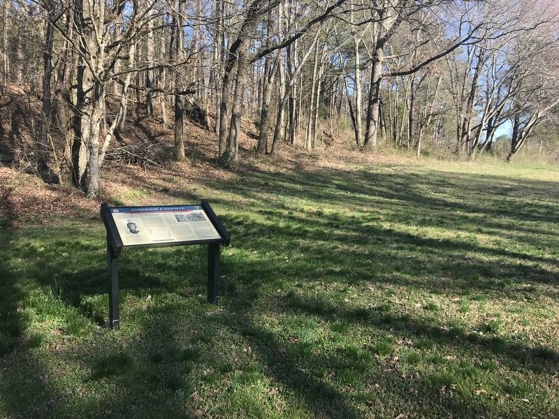
Location. 34° 49.593′ N, 85° 14.773′ W. Marker is near Rock Spring, Georgia, in Walker County. Marker is at the intersection of Old Lafayette Road and Serene Lane, on the right when traveling north on Old Lafayette Road. Touch for map. Marker is in this post office area: Rock Spring GA 30739, United States of America. Touch for directions.
Other nearby markers. At least 8 other markers are within 4 miles of this marker, measured as the crow flies. Old Tavern Road (approx. half a mile away); Rock Springs Church (approx. 0.9 miles away); Worthen's Gap (approx. one mile away); Peavine Church (approx. 2 miles away); Glass's Mill Battle Site (approx. 2˝ miles away); a different marker also named Glass's Mill Battle Site (approx. 2˝ miles away); Henderson Plantation (approx. 2.6 miles away); Clarissa Hunt Plantation (approx. 3.1 miles away). Touch for a list and map of all markers in Rock Spring.
Credits. This page was last revised on March 28, 2022. It was originally submitted on March 8, 2021, by Duane and Tracy Marsteller of Murfreesboro, Tennessee. This page has been viewed 263 times since then and 28 times this year. Photos: 1. submitted on March 27, 2022, by Darren Jefferson Clay of Duluth, Georgia. 2. submitted on March 8, 2021, by Duane and Tracy Marsteller of Murfreesboro, Tennessee.
Editor’s want-list for this marker. Closeup photo showing complete marker. • Can you help?

