Near Burlington in Alamance County, North Carolina — The American South (South Atlantic)
Occaneechi in the Service
Piedmont Indians in the Civil War
Photographed by Dave Twamley, July 26, 2011
1. Confederate Occaneechi Marker
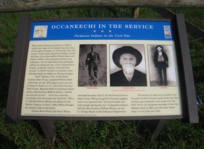
When North Carolina passed laws in 1833 to restrict the rights of free blacks; they also limited the rights of Indians. In old Orange (later Alamance) County, many Occaneechi Indians including Dixon Corn, Jesse Jeffries, Enoch Jones, and Andrew Jeffries were prosperous farmers and tradesmen. The law kept them from joining the militia, but during the war many volunteered as foragers, teamsters, hostlers, and paid body servants. In North Carolina’s mountains, some Cherokee fought as soldiers in Thomas’s Legion.
“Nick” Mebane, of Co. F, 6th North Carolina State Troops, employed William Haith as his body servant. Will Liggins was a servant to James E. Boyd in Co. E, 13th North Carolina State Troops. Marshall Jeffries performed similar service. His kinsman Bedford Jeffries “served as cook and servant … never bore arms but … was always with the troops near the front.” When Lt. Bartlett Yancey Mebane was killed at Cold Harbor, Virginia, on June 7, 1864, Jeffries brought his remains home to the family.
Indians Buck Parker and James Wilson were paid servants with Co. K, 6th North Carolina State Troops. Wilson foraged for food and
this page online
The motives of these men probably were the same as those of many young white men who enlisted: pay, excitement, and escape from the farm. Given the manpower shortages in the Confederate army by 1863, men like these helped keep it in the field until 1865.
Erected by North Carolina Civil War Trails.
Topics and series. This historical marker is listed in this topic list: War, US Civil. In addition, it is included in the North Carolina Civil War Trails series list. A significant historical date for this entry is June 7, 1864.
Location. 36° 12.309′ N, 79° 16.281′ W. Marker is near Burlington, North Carolina, in Alamance County. It can be reached from Dailey Store Road. Touch for map. Marker is at or near this postal address: 4902 Dailey Store Road, Burlington NC 27217, United States of America. Touch for directions.

Regionally, this marker is in the Piedmont and specifically in Piedmont Triad. It is also in the American South and specifically
Photographed by Bill Coughlin, August 11, 2012
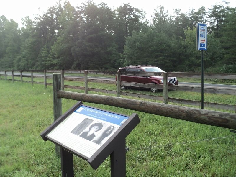
2. Occaneechi in the Service Marker
Other nearby markers. At least 8 other markers are within 7 miles of this marker, measured as the crow flies: Cross Roads Presbyterian Church (approx. 2.6 miles away); Pleasant Grove High School (approx. 3.4 miles away); Bingham School (approx. 4 miles away); The McCray School (approx. 6.3 miles away); a different marker also named McCray School (approx. 6.3 miles away); a different marker also named The McCray School (approx. 6.3 miles away); Woodlawn School (approx. 6.7 miles away); McCray Primitive Baptist Church (approx. 6.7 miles away). Touch for a list and map of all markers in Burlington.
More about this marker. "Ordinance" should have been "Ordnance" (no "i").
Photographed by Bill Coughlin, August 11, 2012
3. NC Civil War Trails Marker
Photographed by Bill Coughlin, August 11, 2012
4. Marker in Burlington
Photographed by Bill Coughlin, August 11, 2012
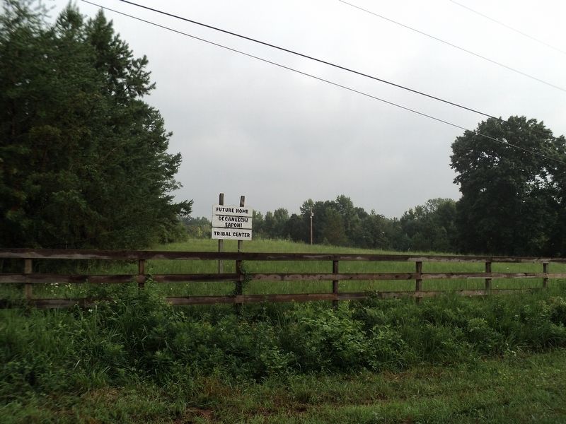
5. Occaneechi Saponi Tribal Center
Marker is on the grounds of the Occaneechi Saponi Tribal Center.
Credits. This page was last revised on November 6, 2024. It was originally submitted on August 13, 2011, by Dave Simpson of Durham, North Carolina. This page has been viewed 2,586 times since then and 118 times this year. Last updated on March 9, 2021, by Carl Gordon Moore Jr. of North East, Maryland. Photos: 1. submitted on August 13, 2011, by Dave Simpson of Durham, North Carolina. 2, 3, 4, 5. submitted on August 11, 2012, by Bill Coughlin of Woodland Park, New Jersey. • Bernard Fisher was the editor who published this page.
