Berryville in Carroll County, Arkansas — The American South (West South Central)
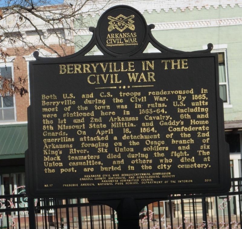
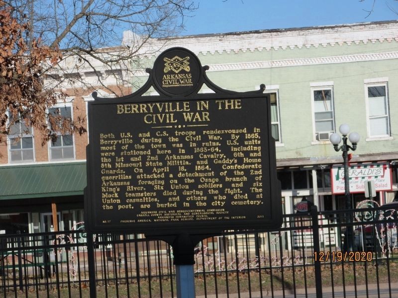
Berryville In The Civil War
Erected 2011 by Arkansas Civil War Sesquicentennial Commission, Carroll County Historical and Genealogical Society, Arkansas Humanities Council, Preserve America, NPS. (Marker Number 17.)
Topics and series. This historical marker is listed in this topic list: War, US Civil. In addition, it is included in the Arkansas Civil War Sesquicentennial Commission series list. A significant historical date for this entry is April 16, 1864.
Location. 36° 21.878′ N, 93° 34.054′ W. Marker is in Berryville, Arkansas, in Carroll County. Marker is on South Main Street (U.S. 62) south of West Church Avenue, on the left when traveling north. Located in Fountain Park. Touch for map. Marker is in this post office area: Berryville AR 72616, United States of America. Touch for directions.
Other nearby markers. At least 8 other markers are within 10 miles of this marker, measured as the crow flies. Carroll County War Memorial (a few steps from this marker); Carroll County Courthouse, Eastern District (within shouting distance of this marker); Concord School House (approx. 6.6 miles away); Skirmish At Yocum Creek (approx. 7.7 miles away); The I.O.O.F. Cemetery (approx. 8 miles away); The Potter's Field (approx. 8 miles away); The Berlin Wall (approx. 9.2 miles away); Magnetic Spring (approx. 9.6 miles away). Touch for a list and map of all markers in Berryville.
Credits. This page was last revised on February 1, 2022. It was originally submitted on March 10, 2021, by Jason Armstrong of Talihina, Oklahoma. This page has been viewed 348 times since then and 49 times this year. Photos: 1, 2. submitted on March 10, 2021, by Jason Armstrong of Talihina, Oklahoma. • Bernard Fisher was the editor who published this page.

