Prince William Forest Park in Triangle in Prince William County, Virginia — The American South (Mid-Atlantic)
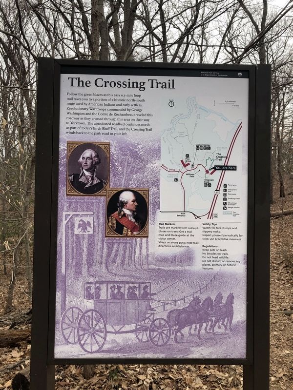
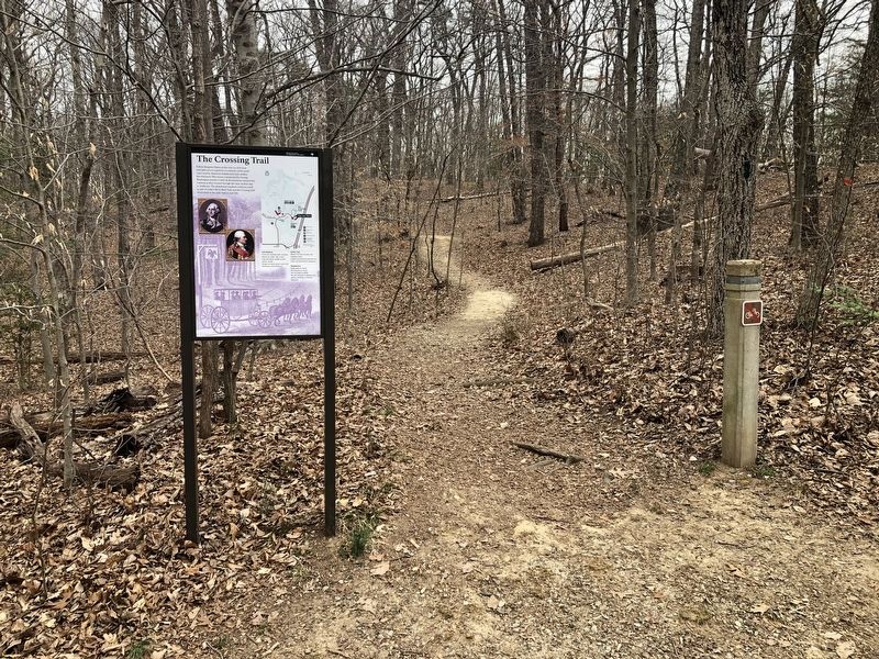
The Crossing Trail
— National Park Service, U.S. Department of the Interior —
Erected by National Park Service, U.S. Department of the Interior.
Topics and series. This historical marker is listed in these topic lists: Native Americans • Roads & Vehicles • War, US Revolutionary. In addition, it is included in the Former U.S. Presidents: #01 George Washington, and the The Washington-Rochambeau Route series lists.
Location. 38° 33.535′ N, 77° 20.616′ W. Marker is in Triangle, Virginia, in Prince William County. It is in Prince William Forest Park. Marker is on Telegraph Road, 0.3 miles east of Park Entrance Road, on the right when traveling west. Touch for map. Marker is at or near this postal address: 17801 Johnson Rd, Triangle VA 22172, United States of America. Touch for directions.
Other nearby markers. At least 8 other markers are within walking distance of this marker. Historic Routes (about 400 feet away, measured in a direct line); A Tradition of Conservation (approx. 0.2 miles away); Historic Preservation and Maintenance (approx. 0.2 miles away); Almost Extinct (approx. ¼ mile away); Saplings of Hope (approx. ¼ mile away); Piedmont Forest Trail (approx. 0.3 miles away); Flowering Dogwood (approx. 0.3 miles away); Eastern Red Cedar (approx. 0.3 miles away). Touch for a list and map of all markers in Triangle.
Credits. This page was last revised on September 12, 2023. It was originally submitted on March 12, 2021, by Devry Becker Jones of Washington, District of Columbia. This page has been viewed 108 times since then and 9 times this year. Photos: 1, 2. submitted on March 12, 2021, by Devry Becker Jones of Washington, District of Columbia.

