Murfreesboro in Rutherford County, Tennessee — The American South (East South Central)
Exploring the Promise of Freedom
— Stones River National Battlefield —
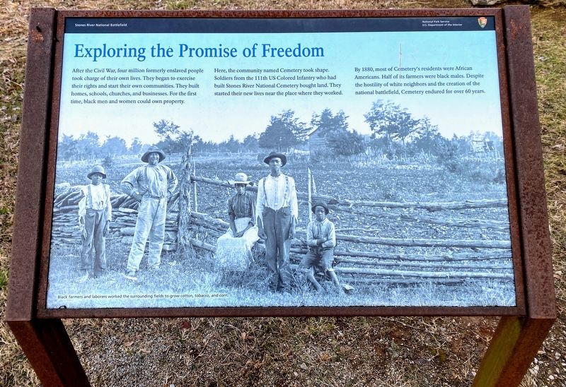
Here, the community named Cemetery took shape. Soldiers from the 111th US Colored Infantry who had built Stones River National Cemetery bought land. They started their new lives near the place where they worked.
By 1880, most of Cemetery's residents were African Americans. Half of its farmers were black males. Despite the hostility of white neighbors and the creation of the national battlefield, Cemetery endured for over 60 years.
(caption):
Black farmers and laborers worked the surrounding fields to grow cotton, tobacco, and corn.
Erected by Stones River National Battlefield, National Park Service, US Department of the Interior.
Topics. This historical marker is listed in these topic lists: African Americans • Civil Rights • War, US Civil.
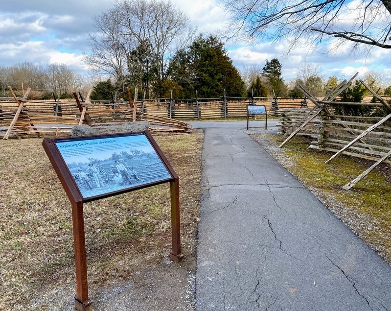
Location. 35° 52.562′ N, 86° 25.837′ W. Marker is in Murfreesboro, Tennessee, in Rutherford County. Marker can be reached from McFadden Lane, 0.1 miles south of Old Nashville Highway, on the right when traveling south. Marker is on a short trail between Park Road and McFadden Lane, next to Parson's Battery. Located between the parking lot for Auto Tour Stops 1 and 3 on the Stones River National Battlefield Driving Tour Route. Touch for map. Marker is at or near this postal address: 3501 Old Nashville Hwy, Murfreesboro TN 37129, United States of America. Touch for directions.
Other nearby markers. At least 8 other markers are within walking distance of this marker. Parsons' Batteries Heavily Engaged (a few steps from this marker); Waiting Anxiously for Tomorrow's Fate (a few steps from this marker); Anchoring the Union Line (about 700 feet away, measured in a direct line); Remembering Sacrifices - in Stone (about 800 feet away); The Federals' Final Rally Turns the Tide (about 800 feet away); Hazen's Brigade Monument (approx. 0.2 miles away); Slave, Soldier, Citizen (approx. 0.2 miles away); This Far, But No Farther (approx. 0.2 miles away). Touch for a list and map of all markers in Murfreesboro.
Regarding Exploring the Promise of Freedom. Although much of the Cemetery Community is gone, several related sites remain outside the boundaries of Stones River National Battlefield. One of those sites is the Mel Malone House, a cabin located across the Old Nashville Hwy from the Stones River United Methodist Church. Today, the family of Mel Malone is seeking funding from the National Park
Service and Rutherford County Historical Society, to restore the house.
Also see . . .
1. Stones River National Battlefield. National Park Service (Submitted on March 15, 2021.)
2. Mel Malone Family Historical Foundation (YouTube video). Introduction to the history of the Cemetery Community in Murfreesboro, TN. It is the home of Mel Malone who built a home in the community over 100 years ago. His family is currently seeking inclusion in the Tennessee Registry of Historic Places and Grants to restore the home and property. (Produced by Chuck O'Bannon) (Submitted on March 15, 2021.)
Credits. This page was last revised on March 15, 2021. It was originally submitted on March 13, 2021, by Shane Oliver of Richmond, Virginia. This page has been viewed 174 times since then and 24 times this year. Photos: 1, 2. submitted on March 13, 2021, by Shane Oliver of Richmond, Virginia. • Bernard Fisher was the editor who published this page.

