
Murfreesboro in Rutherford County, Tennessee — The American South (East South Central)
Fortress Rosecrans
Lytle Creek Greenway | Murfreesboro Greenway System
Photographed by Shane Oliver, January 30, 2021
1. Fortress Rosecrans Marker
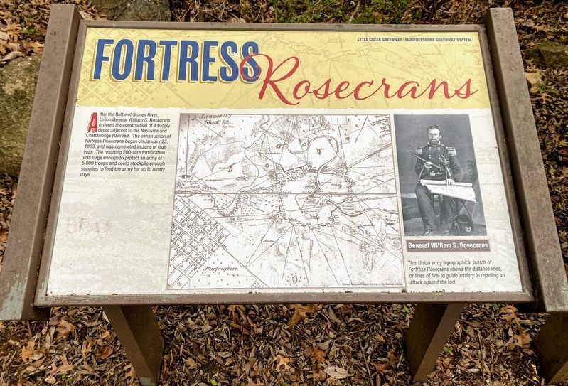
After the Battle of Stones River, Union General William S. Rosecrans ordered the construction of a supply depot adjacent to the Nashville & Chattanooga Railroad. The construction of Fortress Rosecrans began on January 23, 1863, and was completed in June of that year. The resulting 200-acre fortification was large enough to protect an army of 5,000 troops and could stockpile enough supplies to feed the army for up to ninety days.
(captions):
General William S. Rosecrans
This Union army topographical sketch of Fortress Rosecrans shows the distance lines, or lines of fire, to guide artillery in repelling an attack against the fort.
Fortress Rosecrans Sketch Courtesy of The National Archives
Erected by City of Murfreesboro.
Topics. This historical marker is listed in these topic lists: Forts and Castles • War, US Civil.
Location. 35° 51.086′ N, 86° 24.44′ W. Marker is in Murfreesboro, Tennessee, in Rutherford County. It can be reached from Overall Street 0.2 miles east of Golf Lane, on the left when traveling east. Marker is located along the Stones River
this page online

Regionally, this marker is in Middle Tennessee and in Greater Nashville. It is also in the American South and specifically in the Upper South. Globally, it is in North America, the Western Hemisphere, the Western World, and the Anglosphere. Historically, it finds itself in what was once the territory of the Mississippian Culture, one of the Confederate States of America, and the Antebellum South.
Other nearby markers. At least 8 other markers are within walking distance of this marker: Defense of Fortress Rosecrans (here, next to this marker); a different marker also named Fortress Rosecrans (about 400 feet away, measured in a direct line); Living Under the Guns (about 500 feet away); I Never Saw Anything Like Them Before (about 600 feet away); New Citizen Soldiers (about 600 feet away); Lunette Thomas (about 700 feet away); Covered by Cross Fires (about 700 feet away); Toil and Mud (approx. 0.2 miles away). Touch for a list and map
Photographed by Shane Oliver, January 30, 2021
2. Fortress Rosecrans Marker
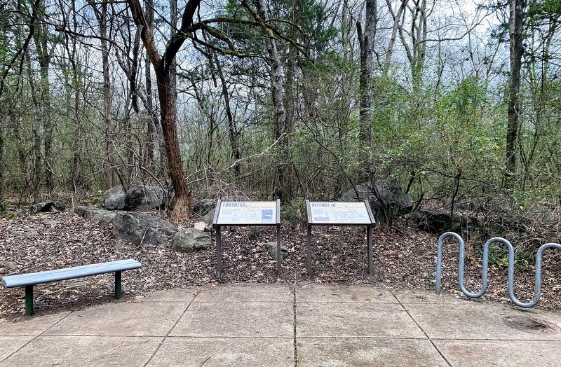
The "Defense of Fortress Rosecrans" Marker is adjacent to this marker.
Also see . . . Stones River National Battlefield - Fortress Rosecrans. National Park Service (Submitted on March 15, 2021.)
Credits. This page was last revised on June 3, 2021. It was originally submitted on March 14, 2021, by Shane Oliver of Richmond, Virginia. This page has been viewed 422 times since then and 26 times this year. Photos: 1, 2. submitted on March 14, 2021, by Shane Oliver of Richmond, Virginia. • Bernard Fisher was the editor who published this page.
