Near Bakersfield in Kern County, California — The American West (Pacific Coastal)
Posey Station of Butterfield Overland Mail Lines
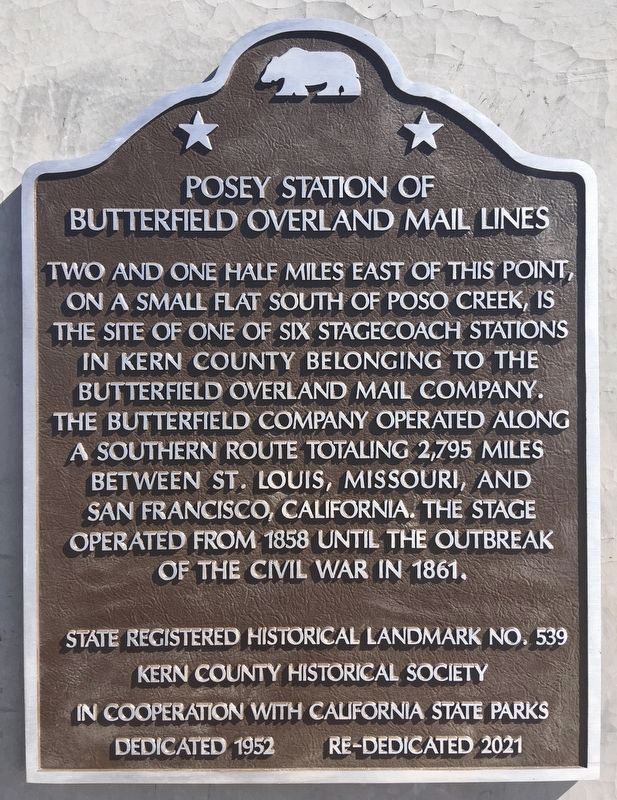
Photographed by Craig Baker, March 8, 2021
1. Posey Station of Butterfield Overland Mail Lines Marker
Erected 1956 by Native Daughters of the Golden West El Tejon Parlor 239, the Kern County Historical Society, and Kern County Museum. (Marker Number 539.)
Topics and series. This historical marker is listed in these topic lists: Industry & Commerce • Roads & Vehicles. In addition, it is included in the Butterfield Overland Mail, the California Historical Landmarks, and the Native Sons/Daughters of the Golden West series lists.
Location. 35° 31.812′ N, 118° 57.723′ W. Marker is near Bakersfield, California, in Kern County. It is at the intersection of Bakersfield-Glennville/Granite Road and Round Mountain Road, on the left when traveling south on Bakersfield-Glennville/Granite
this page online

Regionally, this marker is in California’s San Joaquin Valley, specifically in the Central Valley, and in the Sierra Nevada. It is also on the American Pacific Coast. Globally, it is in North America, on the Ring of Fire, on the Pacific Rim, in the Western Hemisphere, in the Western World, and in the Anglosphere. Historically, it finds itself in what was once New Spain and also Mexico’s Alta California.
Other nearby markers. At least 8 other markers are within 9 miles of this marker, measured as the crow flies: Kern County Veterans (approx. 6.7 miles away); Discovery Well (approx. 7.1 miles away); Gordons Ferry (approx. 7.3 miles away); Camp Hamilton (approx. 7.7 miles away); Ethel's Old Corral (approx. 7.7 miles away); Oildale Waits Drilling Company (approx. 7.9 miles away); Granite Station (approx. 8.2 miles away); Jedediah Strong Smith (approx. 8.9 miles away). Touch for a list and map of all markers in Bakersfield.
Regarding Posey Station of Butterfield Overland Mail Lines. The
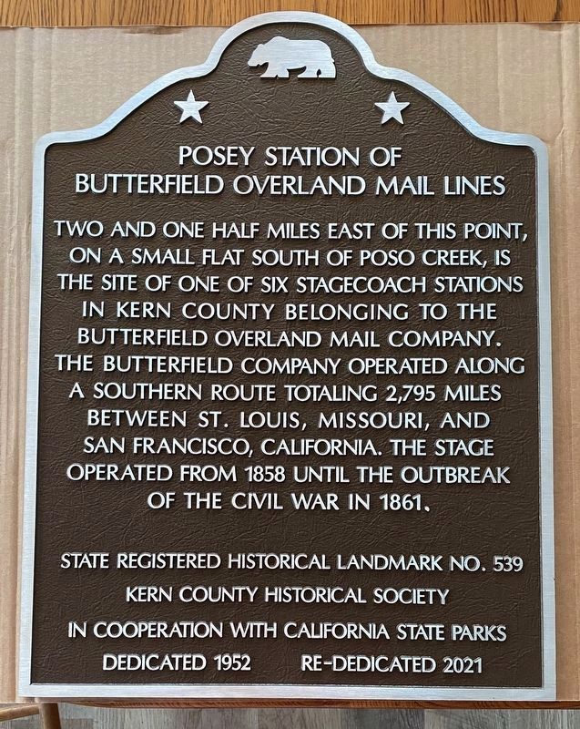
Photographed by Ken Hooper, March 5, 2021
2. Posey Station of Butterfield Overland Mail Lines Marker
The marker is soon to be replaced with this forged aluminum marker.
Two and one-half miles east of this point stood the Posey Station on the Butterfield Overland Stage route that ran from St. Louis, Missouri through present-day Kern County to San Francisco during 1858-61, until the outbreak of the Civil War.
Also see . . .
1. John Butterfield and the Overland Stage. A biography of John Butterfield and the development of his stage company. (Submitted on December 13, 2009, by Syd Whittle of Mesa, Arizona.)
2. A Google Map Showing the Locations of California Stations and Stops. (Submitted on December 13, 2009, by Syd Whittle of Mesa, Arizona.)
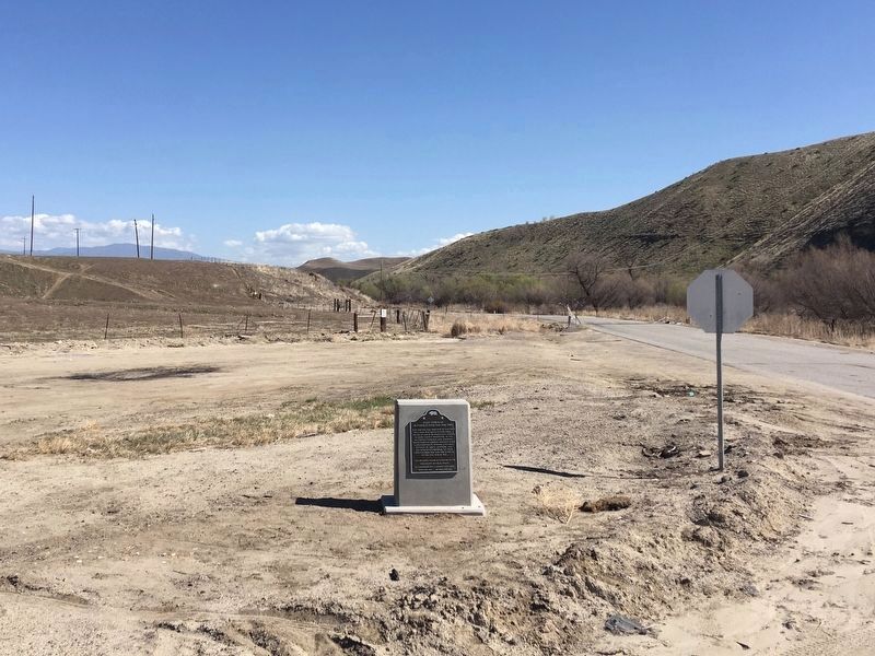
Photographed by Craig Baker, March 8, 2021
3. Posey Station of Butterfield Overland Mail Lines Marker
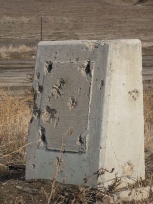
Photographed by Syd Whittle, November 28, 2009
4. Marker was Missing
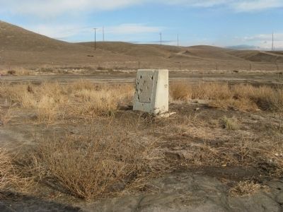
Photographed by Syd Whittle, November 28, 2009
5. Marker was Missing
Credits. This page was last revised on March 6, 2022. It was originally submitted on December 13, 2009, by Syd Whittle of Mesa, Arizona. This page has been viewed 2,817 times since then and 72 times this year. Last updated on March 14, 2021, by Craig Baker of Sylmar, California. Photos: 1. submitted on March 14, 2021, by Craig Baker of Sylmar, California. 2. submitted on March 5, 2021, by Ken Hooper of Bakersfield, California. 3. submitted on March 14, 2021, by Craig Baker of Sylmar, California. 4, 5. submitted on December 13, 2009, by Syd Whittle of Mesa, Arizona. • Bill Pfingsten was the editor who published this page.
