Marietta in Cobb County, Georgia — The American South (South Atlantic)
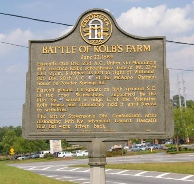
Battle of Kolb's Farm
June 22, 1864
Hascall placed 3 brigades on high ground S. E. of the road. Skirmishers, supported by the 14th Ky., [US] seized a ridge E. of the Valentine Kolb house and stubbornly held it until forced to withdraw.
The left of Stevensonís Div., Confederate, after dislodging 14th Ky., advanced toward Hascallís line but were driven back.
Erected 1952 by Georgia Historical Commission. (Marker Number 033-11.)
Topics and series. This historical marker is listed in this topic list: War, US Civil. In addition, it is included in the Georgia Historical Society series list.
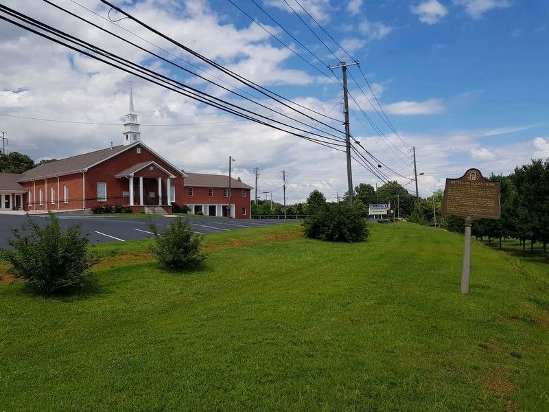
Location. 33° 54.342′ N, 84° 36.262′ W. Marker is in Marietta, Georgia, in Cobb County. Marker is on Macland Road (Georgia Route 360) near Powder Springs Road (Georgia Route 360), on the right when traveling west. The marker is in the parking lot of the Mount Zion Baptist Church, overlooking the intersection. This is the point where Georgia Highway 360 changes from Powder Springs Road to Macland Road. (Powder Springs Road continues on to Powder Springs.). Touch for map. Marker is in this post office area: Marietta GA 30064, United States of America. Touch for directions.
Other nearby markers. At least 8 other markers are within 2 miles of this marker, measured as the crow flies. Wm. G. McAdoo's Birthplace (about 700 feet away, measured in a direct line); Kolb House (approx. half a mile away); a different marker also named Battle of Kolb's Farm (approx. half a mile away); a different marker also named Battle of Kolb's Farm (approx. half a mile away); Battle of Kolb's Farm - June 22, 1864 (approx. half a mile away); Historic Dickson House (approx. 1.1 miles away); a different marker also named Battle of Kolbís Farm (approx. 1.1 miles away); Powder Springs Road (approx. 1.4 miles away). Touch for a list and map of all markers in Marietta.
Credits. This page was last revised on July 10, 2018. It was originally submitted on March 8, 2009, by David Seibert of Sandy Springs, Georgia. This page has been viewed 1,418 times since then and 23 times this year. Photos: 1. submitted on March 8, 2009, by David Seibert of Sandy Springs, Georgia. 2. submitted on July 10, 2018, by J. Makali Bruton of Accra, Ghana. • Craig Swain was the editor who published this page.

