
Murfreesboro in Rutherford County, Tennessee — The American South (East South Central)
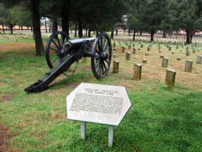
Artillery Protects the Supply Line
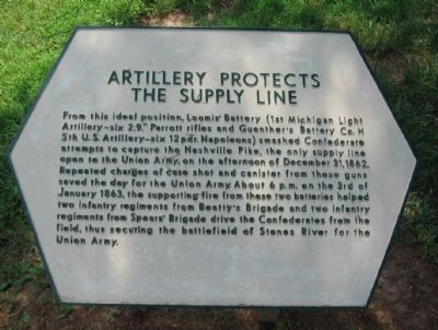
Photographed by Craig Swain, August 28, 2010
1. Artillery Protects the Supply Line Marker
Topics. This historical marker is listed in this topic list: War, US Civil. A significant historical date for this entry is December 31, 1862.
Location. 35° 52.874′ N, 86° 25.945′ W. Marker is in Murfreesboro, Tennessee, in Rutherford County. It can be reached from Old Nashville Highway, on the right when traveling north. Located in the Stones River National Cemetery on the Stones River National Battlefield. Touch for map. Marker is at or near this
this page online

Regionally, this marker is in Middle Tennessee and in Greater Nashville. It is also in the American South and specifically in the Upper South. Globally, it is in North America, the Western Hemisphere, the Western World, and the Anglosphere. Historically, it finds itself in what was once the territory of the Mississippian Culture, one of the Confederate States of America, and the Antebellum South.
Other nearby markers. At least 8 other markers are within walking distance of this marker: U.S. Regulars Memorial (within shouting distance of this marker); This "Precious Dust" (about 300 feet away, measured in a direct line); A Patriotic Pulpit (about 500 feet away); The Charge Kept Coming, Coming Like the Sea (about 700 feet away); Passing Through Murfreesboro (about 700 feet away); Their Longest, Coldest New Year’s Eve (about 700 feet away); Battle at Stones River (about 700 feet away); Why Fight Here? (about 700 feet away). Touch for a list and map of all markers in Murfreesboro.
Other markers no longer nearby.
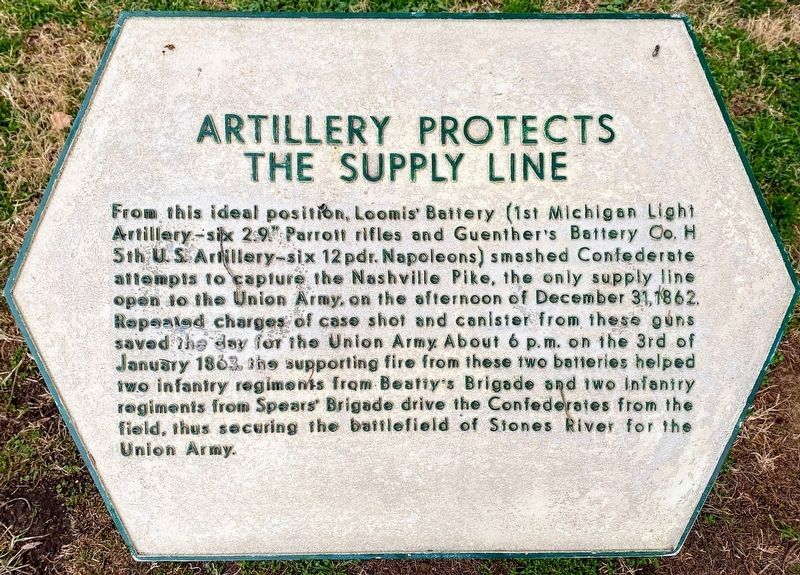
Photographed by Shane Oliver, January 16, 2021
2. Artillery Protects the Supply Line Marker
Also see . . . Stones River National Battlefield. National Park Service website. (Submitted on November 5, 2010, by Craig Swain of Leesburg, Virginia.)

Photographed by Craig Swain, August 28, 2010
3. Marker and Cannon
The gun is a 12-pdr Napoleon, produced by Revere Copper, Co. in 1864. It is registry number 390, weighing 1240 pounds.
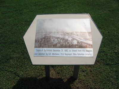
Photographed by Craig Swain, August 28, 2010
4. Scene of the Battlefield
"Scene of the Battlefield, December 31, 1862, as viewed from this location and sketched by A.E. Mathews, 31st Regiment, Ohio Volunteer Infantry".
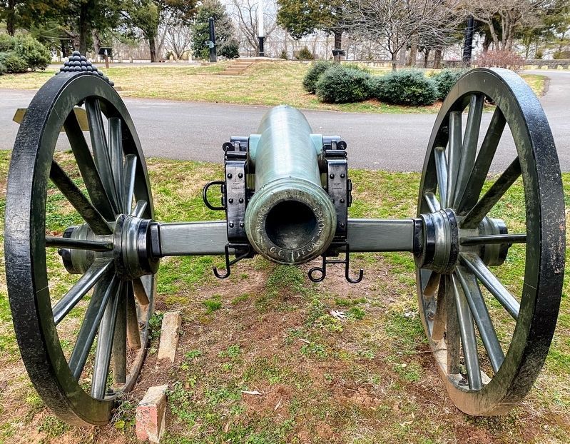
Photographed by Shane Oliver, January 16, 2021
5. 12-pdr Napoleon next to the marker
Photographed by M.Brian Stroud, January 10, 2013
6. Artillery Protects the Supply Line Marker
Credits. This page was last revised on March 16, 2021. It was originally submitted on November 5, 2010, by Craig Swain of Leesburg, Virginia. This page has been viewed 1,062 times since then and 37 times this year. Last updated on March 16, 2021, by Carl Gordon Moore Jr. of North East, Maryland. Photos: 1. submitted on November 5, 2010, by Craig Swain of Leesburg, Virginia. 2. submitted on March 13, 2021, by Shane Oliver of Richmond, Virginia. 3, 4. submitted on November 5, 2010, by Craig Swain of Leesburg, Virginia. 5. submitted on March 13, 2021, by Shane Oliver of Richmond, Virginia. 6. submitted on January 10, 2013, by Mike Stroud of Bluffton, South Carolina. • Devry Becker Jones was the editor who published this page.
