Smokehouse
circa 1900
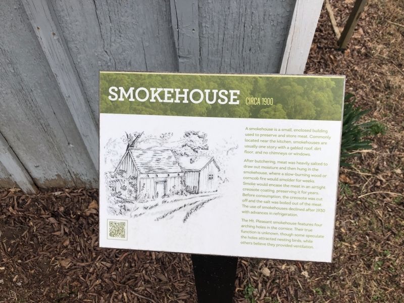
A smokehouse is a small, enclosed building used to preserve and store meat. Commonly located near the kitchen, smokehouses are usually one story with a gabled roof, dirt floor, and no chimneys or windows.
After butchering, meat was heavily salted to draw out moisture and then hung in the smokehouse, where a slow-burning wood or corncob fire would smolder for weeks. Smoke would encase the meat in an airtight creosote coating, preserving it for years. Before consumption, the creosote was cut off and the salt was boiled out of the meat. The use of smokehouses declined after 1930 with advances in refrigeration.
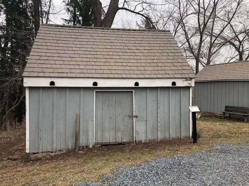
The Mt. Pleasant smokehouse features four arching holes in the cornice. Their true function is unknown, though some speculate the holes attracted nesting birds, while others believed they provided ventilation.
Topics. This historical marker is listed in these topic lists: Agriculture • Animals. A significant historical year for this entry is 1930.
Location. 39° 18.989′ N, 76° 52.481′ W. Marker is in Woodstock, Maryland, in Howard County. Marker can be reached from Old Frederick Road (Maryland Route 99) west of Dorchester Way, on the right when traveling west. Touch for map. Marker is at or near this postal address: 10524 Old Frederick Rd, Woodstock MD 21163, United States of America. Touch for directions.
Other nearby markers. At least 8 other markers are within walking distance of this marker
Credits. This page was last revised on March 17, 2021. It was originally submitted on March 17, 2021, by Devry Becker Jones of Washington, District of Columbia. This page has been viewed 110 times since then and 10 times this year. Photos: 1, 2. submitted on March 17, 2021, by Devry Becker Jones of Washington, District of Columbia.

