Lynchburg Presbyterian Cemetery
Burial Place of Generals
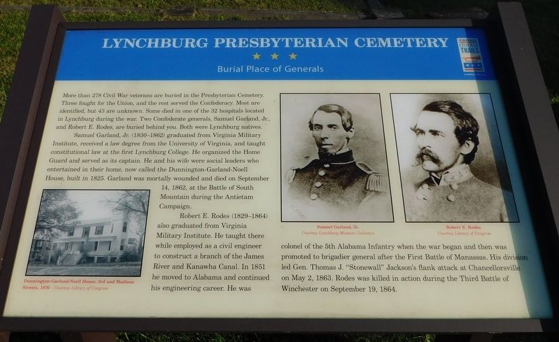
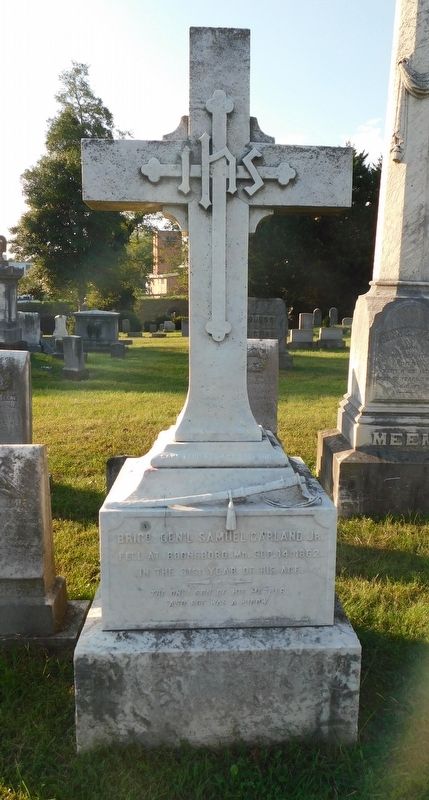
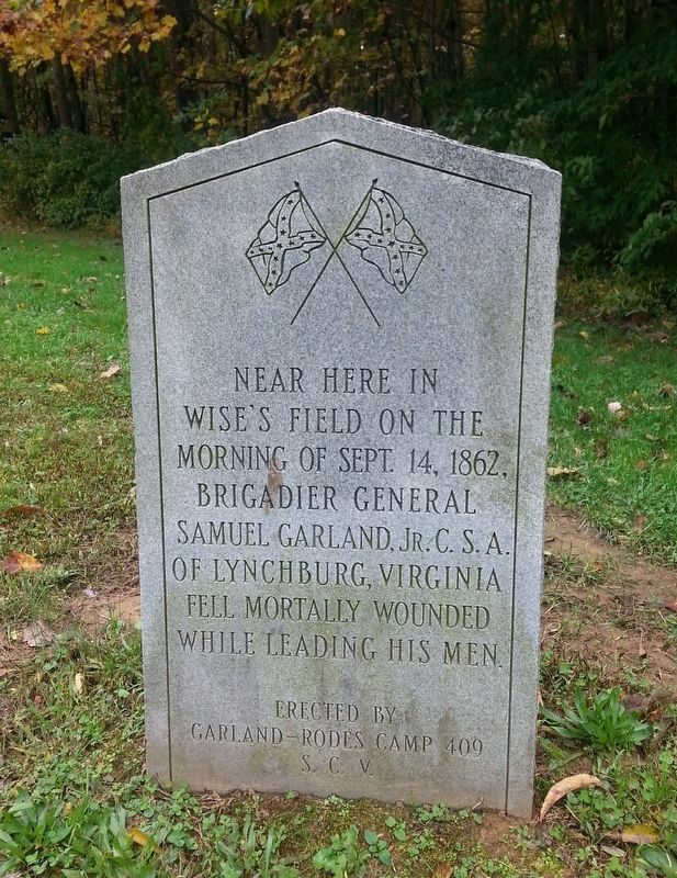
Samuel Garland, Jr., (1830-1862) graduated from Virginia Military Institute, received a law degree from the University of Virginia, and taught constitutional law at the first Lynchburg College. He organized the Home Guard and served as its captain. He and his wife were social leaders who entertained in their home, now called the Dunnington-Garland-Noell House, built in 1825. Garland was mortally wounded and died on September 14, 1862, at the Battle of South Mountain during the Antietam Campaign.
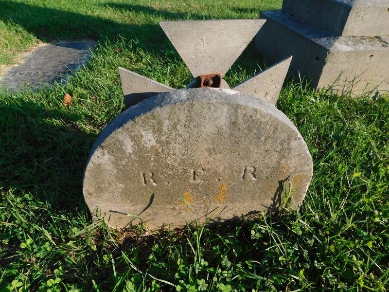
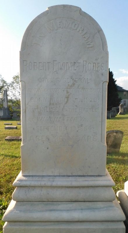
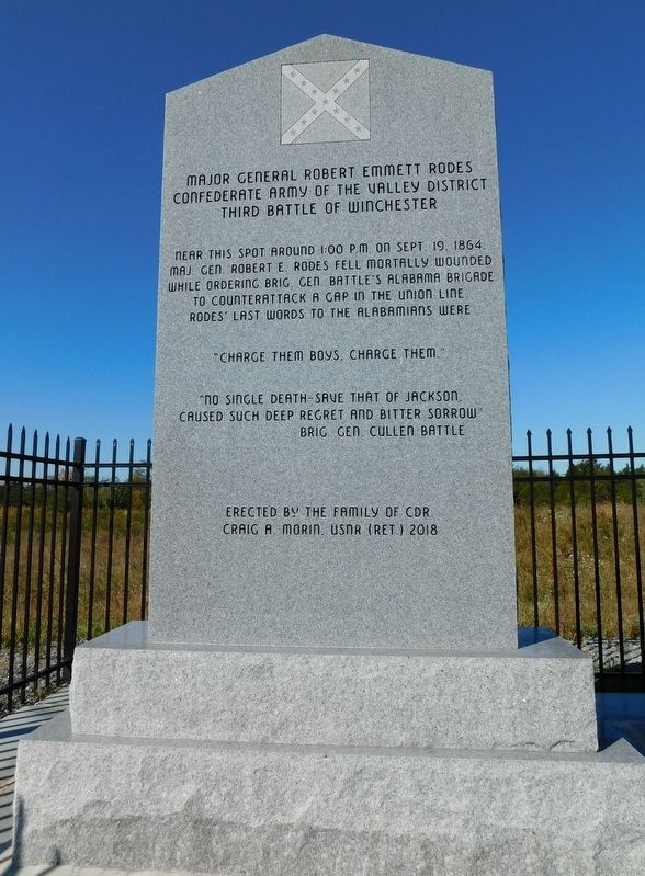
Robert E. Rodes (1829-1864) also graduated from Virginia Military Institute. He taught there while employed as a civil engineer to construct a branch of the James River and Kanawha Canal. In 1851 he moved to Alabama and continued his engineering career. He
this page online
(captions)
Dunnington-Garland-Noell House, 3rd and Madison Streets, 1976 — Courtesy Library of Congress
Samuel Garland, Jr. Courtesy Lynchburg Museum Collection
Robert E. Rodes Courtesy Library of Congress
Erected by Virginia Civil War Trails.
Topics and series. This historical marker is listed in these topic lists: Cemeteries & Burial Sites • War, US Civil. In addition, it is included in the Virginia Civil War Trails series list.
Location. 37° 24.118′ N, 79° 8.312′ W. Marker is in Lynchburg, Virginia. It is in White Rock Hill. It can be reached from the intersection of Grace Street and Maple Street, on the right when traveling east. The marker is on the left just inside the Grace Street entrance to the Presbyterian Cemetery. Touch for map.

Regionally, this marker is in Central Virginia. It is also in the American South and specifically in the Upper South. Globally, it is in North America, the Western Hemisphere, the Western World, and the Anglosphere. Historically, it finds itself in what was once the territory of the Mississippian Culture, one of the original Thirteen Colonies, one of the Confederate States of America, and the Antebellum South.
Other nearby markers. At least 8 other markers are within walking distance of this marker: N.B. Handy House (approx. half a mile away); Diamond Hill Baptist Church (approx. half a mile away); Lucado House (1902) (approx. half a mile away); Cary DeVall Langhorne (1837-1948) (approx. half a mile away); Diamond Hill (approx. 0.6 miles away); Lynchburg History (approx. 0.6 miles away); Lynchburg Civil War Hospitals (approx. 0.6 miles away); Dunbar High School (approx. 0.6 miles away). Touch for a list and map of all markers in Lynchburg.
Also see . . . Presbyterian Cemetery. (Submitted on March 18, 2021.)
Credits. This page was last revised on February 1, 2023. It was originally submitted on March 18, 2021, by Bradley Owen of Morgantown, West Virginia. This page has been viewed 610 times since then and 26 times this year. Photos: 1, 2, 3, 4, 5, 6. submitted on March 18, 2021, by Bradley Owen of Morgantown, West Virginia. • Bernard Fisher was the editor who published this page.
