Near Franklin in Macon County, North Carolina — The American South (South Atlantic)
Wayah Bald
A Favorite Place for a Fabulous View
A Popular Destination
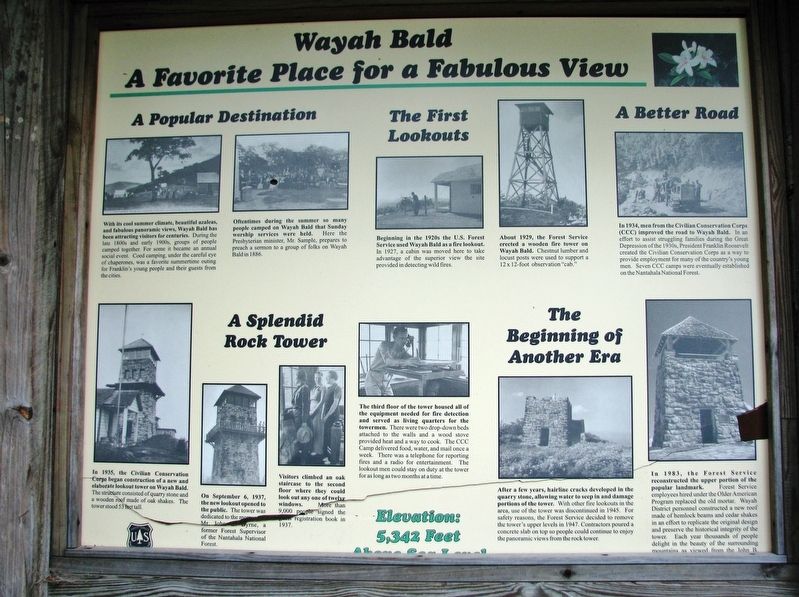
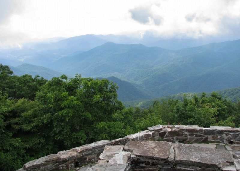
With its cool summer climate, beautiful azaleas, and fabulous panoramic views, Wayah Bald has been attracting visitors for centuries. During the late 1800s and early 1900s, groups of people camped together. For some it became an annual social event. Coed camping, under the careful eye of chaperones, was a favorite summertime outing for Franklin's young people and their guests from the cities.
Oftentimes during the summer so many people camped on Wayah Bald that Sunday worship services were held. Here the Presbyterian minister, Mr. Sample, prepares to preach a sermon to a group of folks on Wayah Bald in 1886.
The First Lookouts
Beginning in the 1920s the U.S. Forest Service used Wayah Bald as a fire lookout. In 1927, a cabin was moved here to take advantage of the superior view the site provided in detecting wild fires.
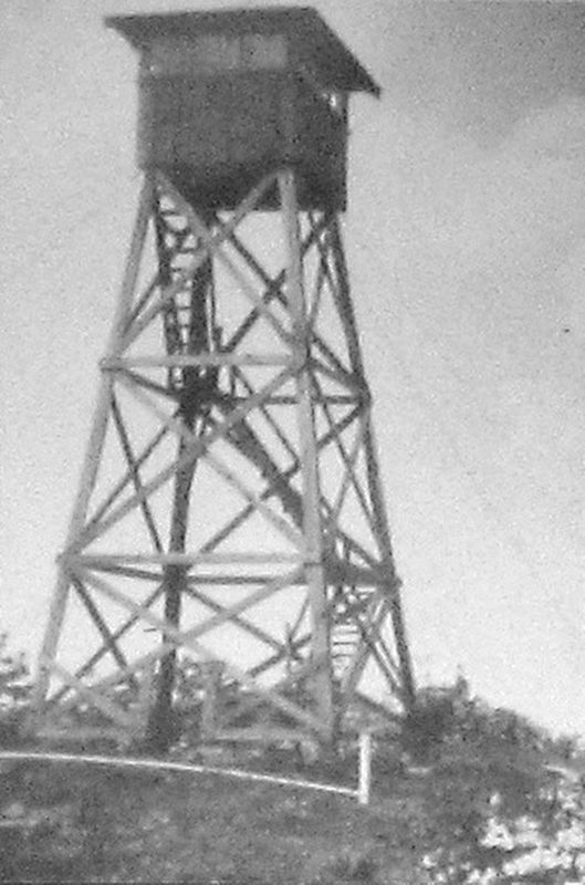
About 1929, the Forest Service erected a wooden fire tower on Wayah Bald. Chestnut lumber and locust posts were used to support a 12 x 12-foot observation "cab."
A Better Road
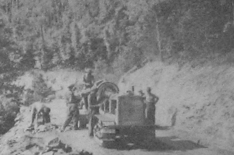
In 1934, men from the Civilian Conservation Corps (CCC) improved the road to Wayah Bald. In an effort to assist struggling families during the Great Depression of the 1930s, President Franklin Roosevelt created the Civilian Conservation Corps as a way to provide employment for many of the country's young men. Seven CCC camps were eventually established on the Nantahala National Forest.
A Splendid Rock Tower
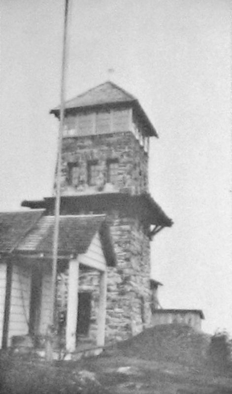
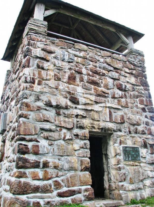
In 1935, the Civilian Conservation Corps began construction of a new and elaborate lookout tower on Wayah Bald. The structure consisted of quarry stone and a wooden roof made of oak shakes. The tower stood 53 feet tall.
On September 6, 1937, the new lookout opened to the public. The tower was dedicated to the memory of Mr. John B. Byrne, a former Forest Supervisor of the Nantahala National Forest.
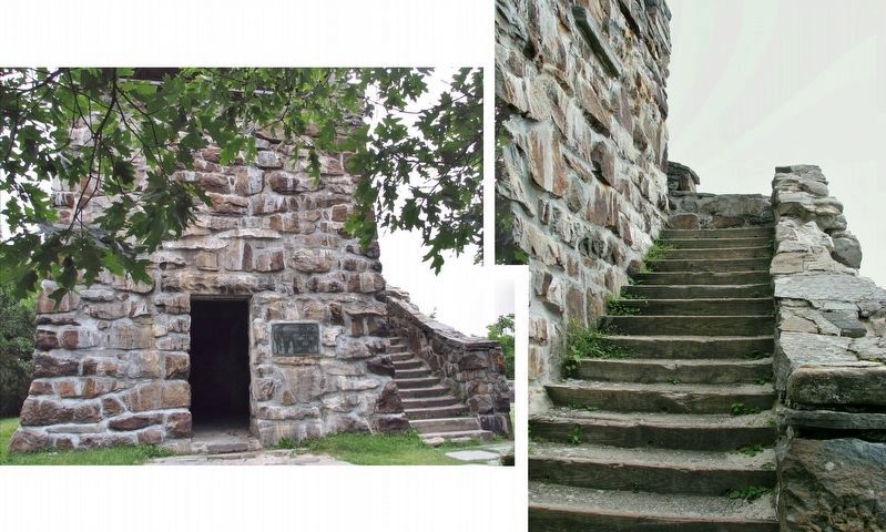
Visitors climbed an oak staircase to the second floor where they could look out any one of twelve windows. More than 9,000 people signed the guest registration book in 1937.
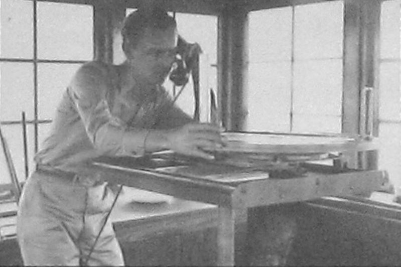
The third floor of the tower housed all of the equipment needed for fire detection and served as living quarters for the towermen. There were two drop-down beds attached to the walls and a wood stove provided heat and a way to cook. The CCC Camp delivered food, water, and mail once a week. There was a telephone for reporting fires and a radio for entertainment. The lookout men could stay on duty at the tower for as long as two months at a time.
The Beginning of Another Era
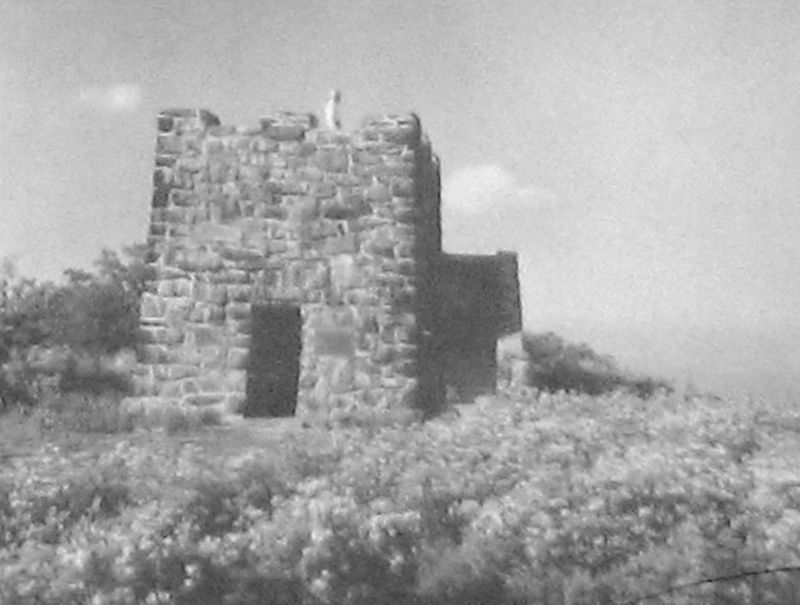
After a few years, hairline cracks developed in the quarry stone, allowing water to seep in and damage portions of the tower. With other fire lookouts in the area, use of the tower was discontinued in 1945. For safety reasons, the Forest Service decided to remove the tower's upper levels in 1947. Contractors poured a concrete slab on top so people could continue to enjoy the panoramic views from the rock tower.
In 1983, the Forest Service reconstructed the upper portion of the popular landmark. Forest Service employees hired under the Older American Program replaced the old mortar. Wayah District personnel constructed a new roof made of hemlock beams and cedar shakes in an effort to replicate the original design and preserve the historical integrity of the tower. Each year thousands of people delight in the beauty of the surrounding mountains as viewed from the John B. Byrne Memorial Tower.
Erected by Forest Service, United States Department of Agriculture.
Topics and series. This historical marker is listed in these topic lists: Charity & Public Work • Horticulture & Forestry • Parks & Recreational Areas • Roads & Vehicles. In addition, it is included in the Civilian Conservation Corps (CCC) series list.
Location. 35° 10.732′ N, 83° 33.737′ W. Marker is near Franklin, North Carolina, in Macon County. Marker can be reached from Wayah Bald Road (Forest Road 69) 4˝ miles north of Wayah Road (State Road 1310). Marker is located near the Wayah Bald Observation Tower parking lot. Touch for map. Marker is in this post office area: Franklin NC 28734, United States of America. Touch for directions.
Other nearby markers. At least 8 other markers are within 11 miles of this marker, measured as the crow flies. The John B. Byrne Memorial Tower (here, next to this marker); The Appalachian & Bartram Trails (here, next to this marker); Wilson Lick Ranger Station (approx. 1.7 miles away); William Bartram (approx. 9.6 miles away); Coweeta Hydrologic Laboratory (approx. 10 miles away); Nantahala Town (approx. 10 miles away); Thomas's Legion (approx. 10.2 miles away); Dixie Hall (approx. 10.2 miles away). Touch for a list and map of all markers in Franklin.
Also see . . .
1. Wayah Bald. August 13, 1936: "Projects underway in Nantahala Forest, include the erection of a new stone tower, 43 feet high, at the summit of Wayah Bald, 15 miles west of Franklin. This tower will replace a 25-foot wooden tower which had been used 10 years until it was recently razed... (Submitted on March 22, 2021, by Cosmos Mariner of Cape Canaveral, Florida.)
2. Wayah Bald Tower (Wikipedia). In 2009 and 2010, the Forest Service restored the north face of the tower using about $75,000. The tower's north wall was breaking
down and the stones were removed and new concrete was used to repair the wall and reset the stones. In 2016, the tower was damaged by wildfires, leaving only the stone base. After this, it was temporarily closed to the public and reopened in 2018. Effort was made to restore the wooden top of the tower as accurately as possible. (Submitted on March 22, 2021, by Cosmos Mariner of Cape Canaveral, Florida.)
Credits. This page was last revised on March 22, 2021. It was originally submitted on March 22, 2021, by Cosmos Mariner of Cape Canaveral, Florida. This page has been viewed 275 times since then and 22 times this year. Photos: 1, 2, 3, 4, 5, 6, 7, 8, 9. submitted on March 22, 2021, by Cosmos Mariner of Cape Canaveral, Florida.
