
Dexter in Calloway County, Kentucky — The American South (East South Central)
Wadesboro
Photographed by Duane and Tracy Marsteller, March 20, 2021
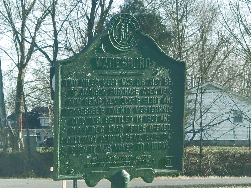
1. Wadesboro Marker
Two miles west was District seat of Jackson Purchase area 1818, now being Kentucky's eight and Tennessee's twenty westernmost counties. Settled in 1821 and U.S. Public Land Office opened. Calloway County Seat, 1822-1842. Then it was moved to Murray.
Erected 1964 by Kentucky Historical Society and Kentucky Department of Highways. (Marker Number 200.)
Topics and series. This historical marker is listed in these topic lists: Indigenous Peoples and Communities • Notable Places • Settlements & Settlers. In addition, it is included in the Kentucky Historical Society series list. A significant historical year for this entry is 1818.
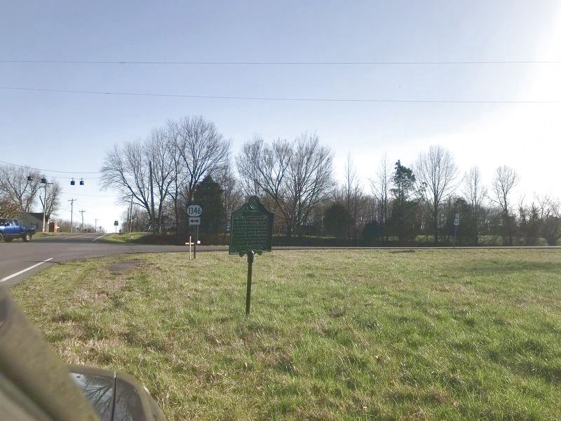
Location. 36° 44.572′ N, 88° 17.818′ W. Marker is in Dexter, Kentucky, in Calloway County. It is at the intersection of Radio Road (Kentucky Route 1824) and Roosevelt Road ( Route 1346), on the right when traveling south on Radio Road. Touch for map. Marker is at or near this postal address: 4660 Radio Road, Dexter KY 42036, United States of America. Touch for directions.

Regionally, this marker is in Kentucky’s Jackson Purchase. It is also in the American Midwest, in the South,
this page online
Other nearby markers. At least 8 other markers are within 9 miles of this marker, measured as the crow flies: Calloway Normal College (approx. 6.4 miles away); Stubblefield Birthplace (approx. 7.6 miles away); Inundated Site (approx. 7.9 miles away); Henry H. Lovett, Sr. (approx. 7.9 miles away); Arthur H. Davis (approx. 7.9 miles away); Civil War Action (approx. 8 miles away); Waters Schoolhouse (approx. 8.2 miles away); Shelby McCallum (approx. 8.3 miles away).
Also see . . .
1. Wadesboro. Explore Kentucky History website entry (Submitted on March 22, 2021, by Duane and Tracy Marsteller of Murfreesboro, Tennessee.)
2. All Roads Lead To… Wadesboro?. Four Rivers Explorer Website entry (Submitted on March 22, 2021, by Duane and Tracy Marsteller of Murfreesboro, Tennessee.)
Photographed by Duane and Tracy Marsteller, March 20, 2021
2. Wadesboro Marker
Looking north along Radio Road toward Roosevelt Road.
Credits. This page was last revised on January 2, 2022. It was originally submitted on March 22, 2021, by Duane and Tracy Marsteller of Murfreesboro, Tennessee. This page has been viewed 520 times since then and 33 times this year. Photos: 1, 2. submitted on March 22, 2021, by Duane and Tracy Marsteller of Murfreesboro, Tennessee.
