Near Stoneham in Grimes County, Texas — The American South (West South Central)
The Stoneham Cemetery
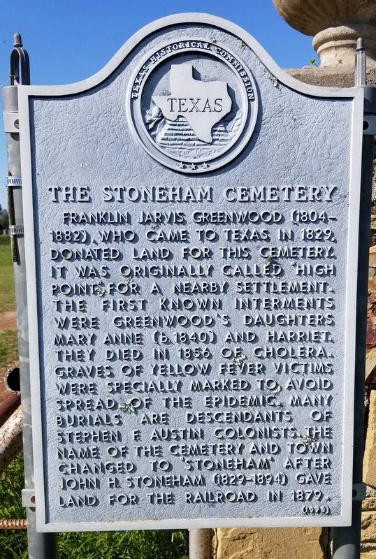
Franklin Jarvis Greenwood (1804 - 1882), who came to Texas in 1829, donated land for this cemetery. It was originally called "High Point" for a nearby settlement. The first known interments were Greenwood's daughters Mary Anne (b. 1840) and Harriet. They died in 1856 of cholera. Graves of yellow fever victims were specially marked to avoid spread of the epidemic. Many burials are descendants of Stephen F. Austin colonists. The name of the cemetery and town changed to Stoneham after John Stoneham (1829 - 1894) gave land for the railroad in 1879.
Erected 1978 by Texas Historical Commission. (Marker Number 8618.)
Topics. This historical marker is listed in this topic list: Cemeteries & Burial Sites. A significant historical year for this entry is 1829.
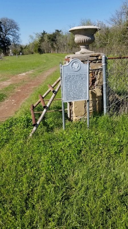
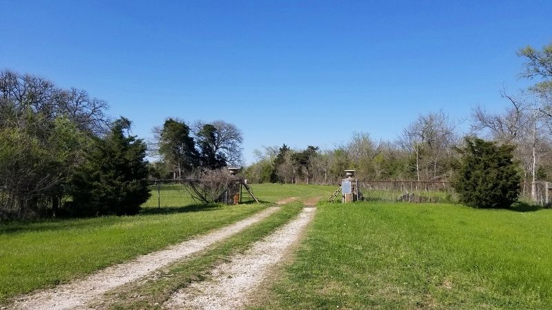
Location. 30° 21.426′ N, 95° 55.354′ W. Marker is near Stoneham, Texas, in Grimes County. Marker can be reached from the intersection of Stoneham Cemetery Road and State Highway 105, on the right when traveling north. The marker is located at the entrance to the cemetery down the cemetery road. Touch for map. Marker is at or near this postal address: 9851 Stoneham Cemetery Rd, Navasota TX 77868, United States of America. Touch for directions.
Other nearby markers. At least 8 other markers are within 4 miles of this marker, measured as the crow flies. Andrew Jackson Montgomery (within shouting distance of this marker); John Montgomery (within shouting distance of this marker); a different marker also named Andrew Jackson Montgomery (about 300 feet away, measured in a direct line); Stoneham Methodist Church (approx. 1.4 miles away); St. Mary's Catholic Church (approx. 3.2 miles away); Blackberry Community (approx. 3.4 miles away); Plantersville Baptist Church (approx. 4 miles away); Plantersville Cemetery (approx. 4 miles away). Touch for a list and map of all markers in Stoneham.
Credits. This page was last revised on March 23, 2021. It was originally submitted on March 22, 2021, by James Hulse of Medina, Texas. This page has been viewed 243 times since then and 47 times this year. Photos: 1, 2, 3. submitted on March 23, 2021, by James Hulse of Medina, Texas.


