Hell's Kitchen in Manhattan in New York County, New York — The American Northeast (Mid-Atlantic)
Queen Elizabeth
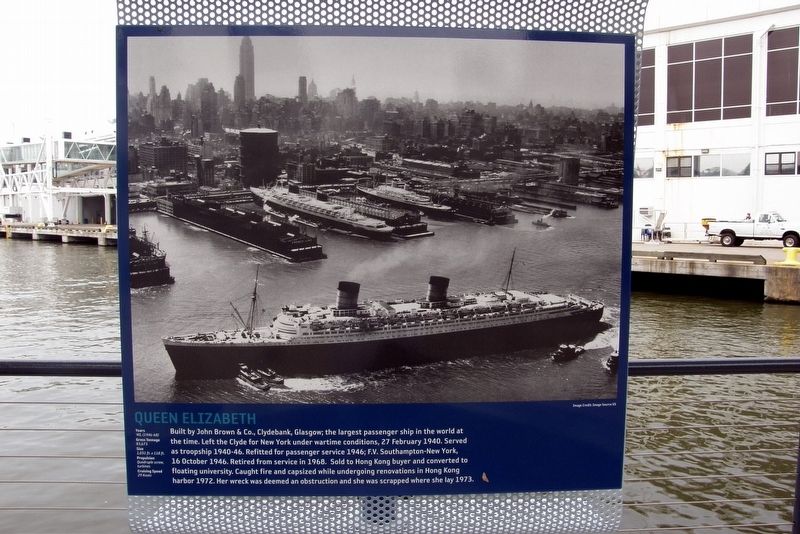
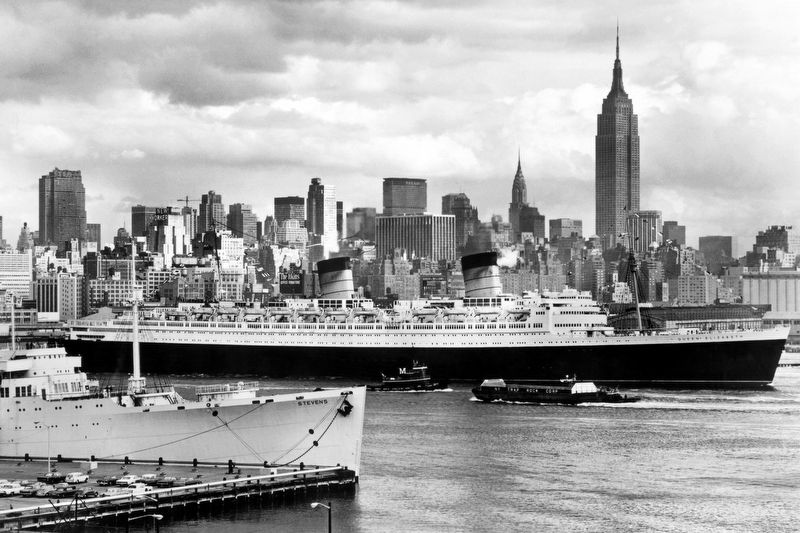
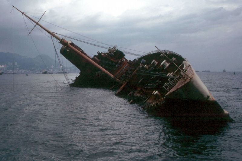
Built by John Brown & Co., Clydesbank, Glasgow; the largest passenger ship in the world at the time. Left the Clyde for New York under wartime conditions, 27 February 1940. Served as troopship 1940-1946. Refitted for passenger service 1946; F.V. Southampton-New York, 16 October 1946. Retired from service in 1968. Sold to Hong Kong buyer and converted to floating university. Caught fire and capsized while undergoing renovations in Hong Kong Harbor 1972. Her wreck was deemed an obstruction and she was scrapped where she lay.
Years – ’40, (1946-68)
Gross Tonnage – 83, 673
Size – 1,031 ft. x 118 ft.
Propulsion – Quadruple screw, turbines
Cruising speed – 29 knots
Topics. This historical marker is listed in these topic lists: War, World II • Waterways & Vessels. A significant historical date for this entry is February 27, 1940.
Location. 40° 45.908′ N, 73° 59.914′ W. Marker is in Manhattan, New York, in New York County. It is in Hell's Kitchen. Marker can be reached from West Street west of East 47th Street, on the right when traveling south. Touch for map. Marker is at or near this postal address: Hudson River Greenway near Pier 88, New York NY 10036, United States of America. Touch for directions.
Other nearby markers. At least 8 other markers are within walking distance of this marker. SS United States (here, next to this marker); La Touraine (here, next to this marker); RMS Queen Mary (here, next to this marker); Aquitania (here, next to this marker); Paris (here, next to this marker); Propeller (about 300 feet away, measured in a direct line); Regulus I Missile (about 300 feet away); History of Growler (about 400 feet away). Touch for a list and map of all markers in Manhattan.
Also see . . .
1. RMAS Queen Elizabeth. Wikipedia entry (Submitted on March 23, 2021, by Larry Gertner of New York, New York.)
2. The Queen Elizabeth in Torrance. The Captain’s Table Website entry:
A plaque identical to that in NYC and her anchor are on outdoor display in Tonnance CA. (Submitted on March 23, 2021, by Larry Gertner of New York, New York.)
Credits. This page was last revised on January 31, 2023. It was originally submitted on March 23, 2021, by Larry Gertner of New York, New York. This page has been viewed 112 times since then and 4 times this year. Photos: 1, 2, 3, 4, 5. submitted on March 23, 2021, by Larry Gertner of New York, New York.
