
St. Charles to Greens Bottom
Points of Interest
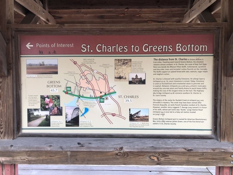
The distance from St. Charles to Greens Bottoms is 6.20 miles. Traveling west toward Greens Bottom, the elevation remains almost constant. In St. Charles, the route of Katy Trail State Park runs beside the Missouri River bluffs. The Cottonwood, sycamore and box elder trees and horsetail rushes flourish on the riverside. The bluffs support an upland forest with oaks, walnuts, sugar maple and staghorn sumac.
St. Charles is blessed with quality limestone. At Lafarge Quarry (milepost 41.4), St. Louis limestone is mined. Today, limestone is used as foundational and ornamental stone in concrete and asphalt. Between mileposts 41.4 and 42.4, a scenic route goes around the concrete plant and Family Arena to avoid heavy traffic, making this one of the longest miles on the trail. The Highway 364 bridge (milepost 42.8) connects southern St. Charles to St. Louis County.
The origins of the name for Duckett Creek at milepost 44.3 are shrouded in mystery. The creek may have been named after Francois Duquette, an early French-Canadian resident of St. Charles. However, another story suggests T. George Jung named it in honor of his
this page online
Greens Bottom (milepost 45.7) is named for American Revolutionary War (1775-1783) veteran James Green, one of the first American settelrs in St. Charles County.
Erected by Missouri State Parks.
Topics and series. This historical marker is listed in these topic lists: Bridges & Viaducts • Roads & Vehicles • Settlements & Settlers. In addition, it is included in the Katy Trail State Park series list.
Location. 38° 46.795′ N, 90° 28.844′ W. Marker is in St. Charles, Missouri, in St. Charles County. It can be reached from the intersection of South Riverside Drive and Madison Street, on the right when traveling north. Touch for map. Marker is at or near this postal address: 222 S Riverside Dr, Saint Charles MO 63301, United States of America. Touch for directions.
Regionally, this marker is in the Missouri River Corridor and in Greater St. Louis. It is also in the American Midwest, in the Lewis & Clark Corridor, in the Corn Belt, and in the
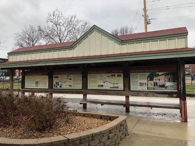
Other nearby markers. At least 8 other markers are within walking distance of this marker: History of St. Charles (here, next to this marker); St. Charles Points of Interest (here, next to this marker); St. Charles to Machens (here, next to this marker); First Missouri State Capitol (here, next to this marker); Lewis and Clark in Missouri (a few steps from this marker); First State Capitol of Missouri (within shouting distance of this marker); The Kitchen Garden (within shouting distance of this marker); Dog-Trot Log Cabin (within shouting distance of this marker). Touch for a list and map of all markers in St. Charles.
Credits. This page was last revised on March 23, 2021. It was originally submitted on March 23, 2021, by Devry Becker Jones of Washington, District of Columbia. This page has been viewed 517 times since then and 20 times this year. Photos: 1, 2. submitted on March 23, 2021, by Devry Becker Jones of Washington, District of Columbia.
