
Pierre in Hughes County, South Dakota — The American Midwest (Upper Plains)
Mateer Park
Photographed by Connor Olson, March 23, 2021
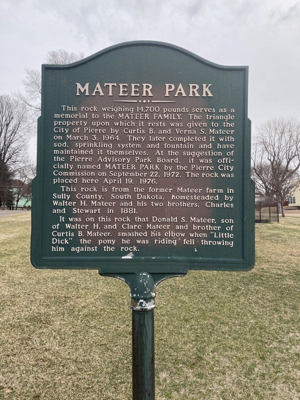
1. Mateer Park Marker
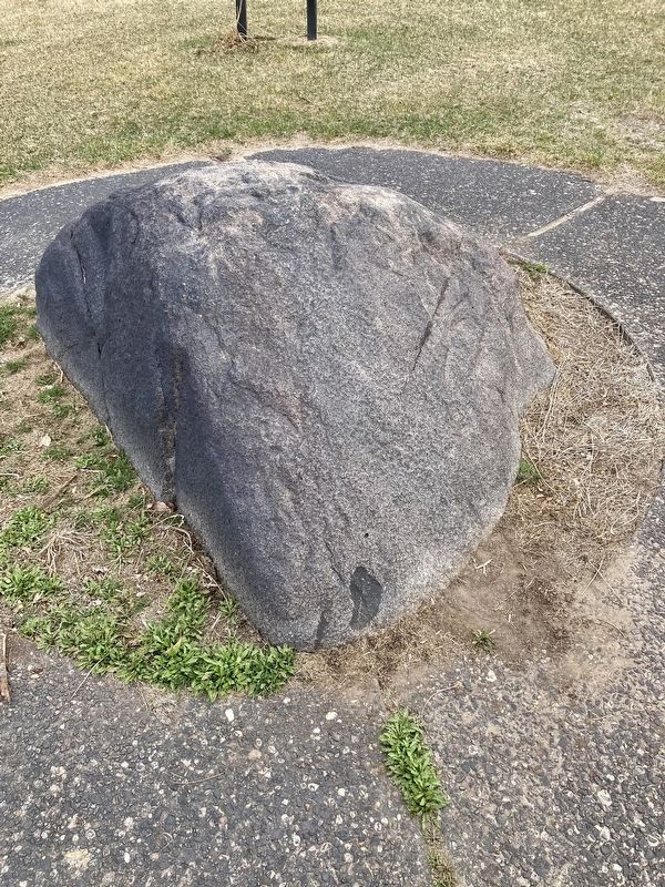
This rock is from the former Mateer farm in Sully County, South Dakota, homesteaded by Walter H. Mateer and his two brothers, Charles and Stewart in 1881.
It was on this rock that Donald S. Mateer, son
of Walter H. and Clare Mateer and brother of
Curtis B. Mateer. smashed his elbow when "Little
Dick” the pony he was riding fell throwing
him against the rock.
Topics. This historical marker is listed in these topic lists: Charity & Public Work • Parks & Recreational Areas • Settlements & Settlers. A significant historical date for this entry is March 3, 1964.
Location. 44° 22.346′ N, 100° 21.126′ W. Marker is in Pierre,
this page online

Regionally, this marker is in East River. It is also in the American Lewis & Clark Corridor, on the prairies, and on the Northern Plains. Globally, it is in North America, the Western Hemisphere, the Western World, and the Anglosphere. Historically, it finds itself in what was once Rupert’s Land and also the Louisiana Purchase.
Other nearby markers. At least 8 other markers are within walking distance of this marker: Pierre Hill Historic District (here, next to this marker); John Sutherland and the Capital Fights (approx. 0.2 miles away); First and Only Hanging in Hughes County (approx. ¼ mile away); The Old Hughes County Court House (approx. ¼ mile away); Hughes County Courthouse / Site of First Library in Pierre (approx. ¼ mile away); Charles Hyde's Legacy (approx. 0.3 miles away); Dedicated to You, A Free Citizen in a Free Land
Photographed by Connor Olson, March 23, 2021
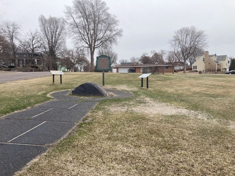
2. Mateer Park
Photographed by Connor Olson, March 23, 2021
3. Mateer Farm Rock
Credits. This page was last revised on March 24, 2021. It was originally submitted on March 23, 2021, by Connor Olson of Menomonee Falls, Wisconsin. This page has been viewed 293 times since then and 28 times this year. Photos: 1, 2, 3. submitted on March 23, 2021, by Connor Olson of Menomonee Falls, Wisconsin. • Mark Hilton was the editor who published this page.
