
The Iron Horse Cultivates America
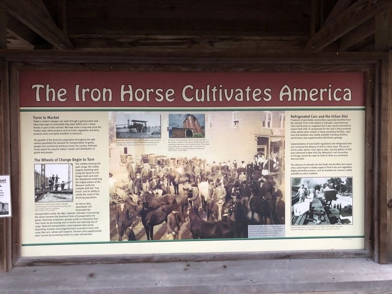
Farm to Market
Today's modern shopper can walk through a grocery store and have every type of commodity they want within arm's reach, thanks in part to the railroad. We have come a long way since the frontier days when produce such as fruits, vegetables and dairy products were not easily available to everyone.
The growth of the American population throughout the 19th century paralleled the demand for transportation of goods, people and commercial products across the country. Railroad tracks paved the way for today's market and distribution of goods and people.
The Wheels of Change Begin to Turn
The cowboy roaming the open range, the rickety wagons traveling west along the Santa Fe and Oregon trails and even the steamboats traversing the mighty waters of the Missouri could not compete with the "iron horse" and its ability to satisfy the needs of the booming population.
As late as 1852, steamboats still dominated the transportation scene. By 1890, however, railroads crisscrossing the nation became the dominant form of transportation for goods. Railroad produced a greater profit on shipments than river boats by
this page online
Refrigerated Cars and Urban Diet
Producers of perishable commodities especially benefited from the railroad. Prior to the advent of railroads, some American cities had become so congested that it was nearly impossible to import fresh milk. To compensate for this lack in dairy products, urban dairies were created. In these unsanitary facilities, cows were fed whatever was readily available including distillery and brewery slop supplemented with kitchen garbage.
Implementation of new healthy regulations and refrigerated train cars increased the delivery of milk to urban areas. This put an end to urban dairies. From 1842 to 1843, 750,000 gallons of milk were delivered to New York City. Wisconsin's rail connection to Chicago earned the state its claim to fame as a prominent dairy provider.
The advance of railroads into the South and the West also meant
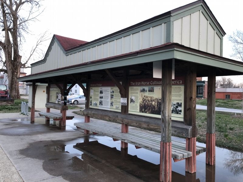
Erected by Missouri State Parks.
Topics and series. This historical marker is listed in these topic lists: Agriculture • Industry & Commerce • Railroads & Streetcars. In addition, it is included in the Katy Trail State Park series list. A significant historical year for this entry is 1852.
Location. 38° 38.598′ N, 91° 11.265′ W. Marker is in Treloar, Missouri, in Warren County. It can be reached from the intersection of Market Street and Texas, on the left when traveling west. Touch for map. Marker is at or near this postal address: 16698 Texas, Marthasville MO 63357, United States of America. Touch for directions.

Regionally, this marker is in the Missouri River Corridor and in Greater St. Louis. It is also in the American Midwest, in the Lewis & Clark Corridor, and in the Corn Belt. Globally, it is in North America, the Western Hemisphere, the Western World, and the Anglosphere. Historically, it finds itself in what was once the territory of the Mississippian Culture, the Louisiana Purchase, and the Antebellum South.
Other nearby markers. At least 8 other markers are within 3 miles of this marker, measured as the crow flies: Treloar to Marthasville (here, next to this marker); History of Treloar (here, next to this marker); Treloar to McKittrick (here, next to this marker); Historic Grain Elevators (about 300 feet away, measured in a direct line); "The Mighty Missouri" (approx. 2.4 miles away); "Boeuf Creek" (approx. 2.4 miles away); Private John Colter (approx. 2.4 miles away); The Ferryboat Landing (approx. 2.4 miles away). Touch for a list and map of all markers in Treloar.
Credits. This page was last revised on March 24, 2021. It was originally submitted on March 24, 2021, by Devry Becker Jones of Washington, District of Columbia. This page has been viewed 211 times since then and 21 times this year. Photos: 1, 2. submitted on March 24, 2021, by Devry Becker Jones of Washington, District of Columbia.
