Near Knightstown in Henry County, Indiana — The American Midwest (Great Lakes)
Glen Cove IOOF Cemetery
Old Knightstown Cemetery
| — | Founded 1837 | — |

Photographed by Rev. Ronald Irick, March 23, 2021
1. Glen Cove IOOF Cemetery Marker
Erected 2017 by Indiana Historical Bureau, Henry County Food & Beverage Grant, County Commissioners & Cemetery Commisson.
Topics and series. This historical marker is listed in this topic list: Cemeteries & Burial Sites. In addition, it is included in the Indiana Cemetery Heritage series list. A significant historical year for this entry is 1837.
Location. 39° 48.277′ N, 85° 31.953′ W. Marker is near Knightstown, Indiana, in Henry County. It is at the intersection of McCullum (Indiana Route 109) and County Road W850S, on the right when traveling south on McCullum. The marker is inside the north gate of Glen Cove Cemetery. Touch for map. Marker is at or near this postal address: 8955 McCullum, Knightstown IN 46148, United States of America. Touch for directions.

Regionally, this marker is in Central Indiana. It is also in the American Midwest and in the Corn Belt. Globally, it is in North America, the Western Hemisphere, the Western World, and the Anglosphere. Historically, it finds itself
this page online
Other nearby markers. At least 8 other markers are within 7 miles of this marker, measured as the crow flies: Knightstown Community Veterans Memorial (about 800 feet away, measured in a direct line); Knightstown Academy (approx. half a mile away); Pvt. William Zion USMC (approx. 0.7 miles away); Revolutionary Soldiers of Henry County (approx. 0.7 miles away); Veterans Garden of Memories (approx. 0.7 miles away); A Gargantuan Undertaking (approx. ¾ mile away); Site of First House in Knightstown (approx. ¾ mile away); Underground Station (approx. 6.2 miles away). Touch for a list and map of all markers in Knightstown.
Another marker is no longer nearby. The National Road — West (was approx. 1.3 miles away but has been confirmed missing).

Photographed by Rev. Ronald Irick, March 23, 2021
2. Glen Cove IOOF Cemetery Marker
Photographed by Rev. Ronald Irick, March 23, 2021
3. Glen Cove IOOF Cemetery Marker
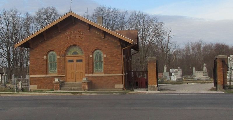
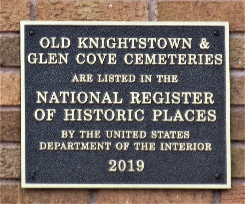
The Chapel, and south gate, the National Registry plaque is on the north wall of this building; the blue marker is at the north gate, about 1/4 mile north, both on McCullum Road.
Photographed by Rev. Ronald Irick, March 23, 2021
4. National Register of Historic Places plaque for the cemeteries
Photographed by Rev. Ronald Irick, March 23, 2021
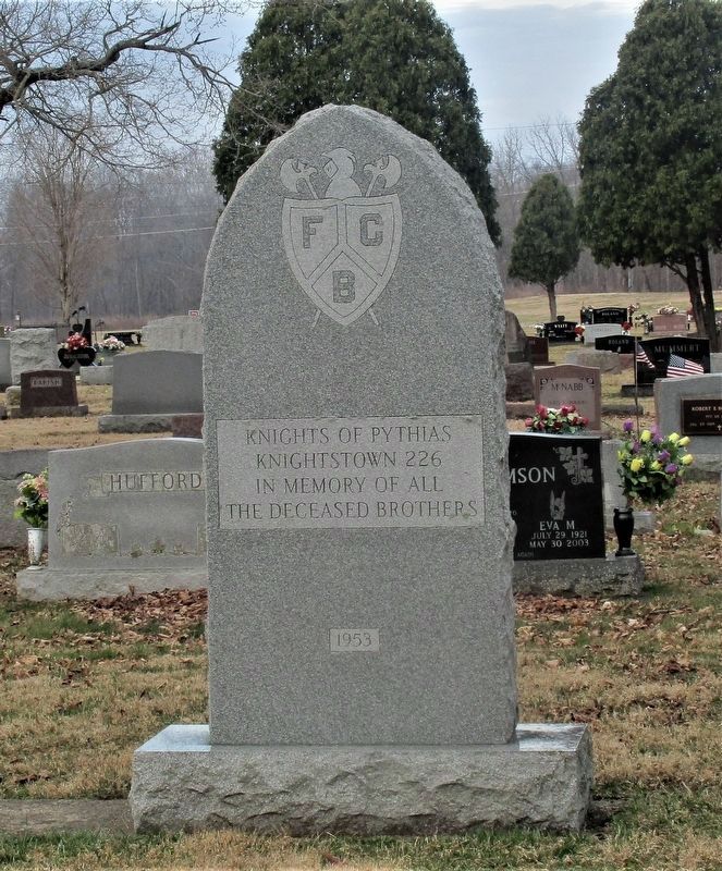
5. Knights of Pythias Memorial
Photographed by Rev. Ronald Irick, March 23, 2021
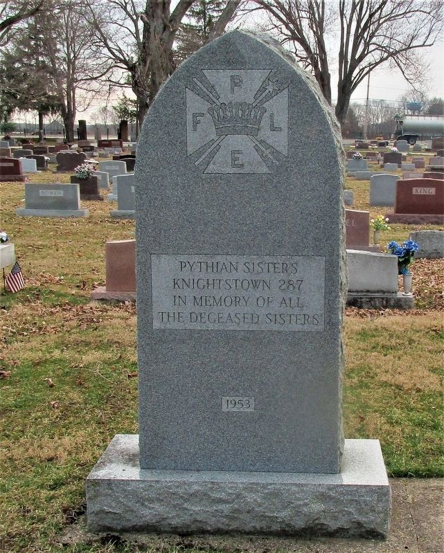
6. Pythian Sisters memorial
Credits. This page was last revised on March 25, 2021. It was originally submitted on March 24, 2021, by Rev. Ronald Irick of West Liberty, Ohio. This page has been viewed 423 times since then and 50 times this year. Photos: 1, 2, 3, 4, 5, 6. submitted on March 24, 2021, by Rev. Ronald Irick of West Liberty, Ohio. • Devry Becker Jones was the editor who published this page.
