Chamois in Osage County, Missouri — The American Midwest (Upper Plains)
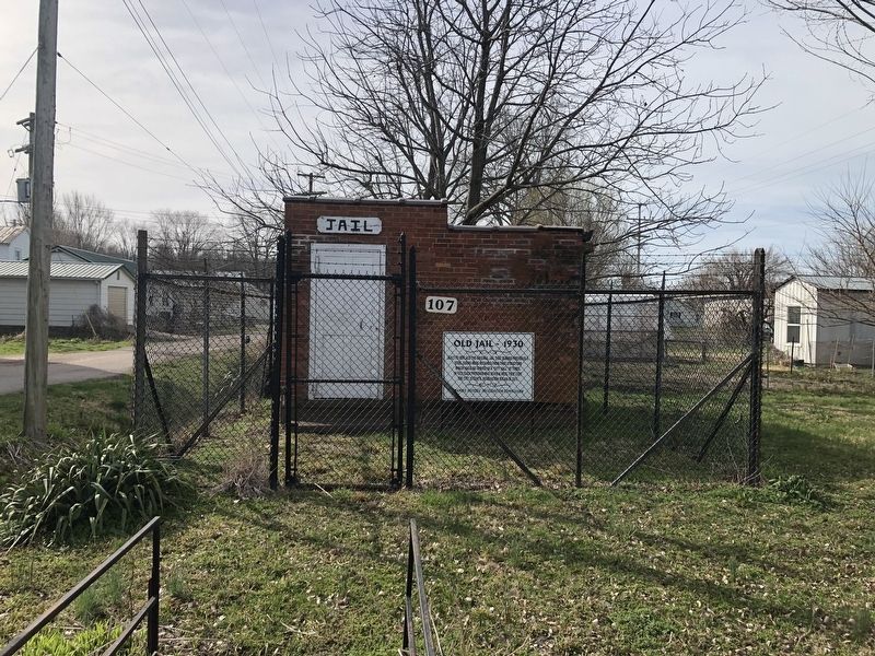
Old Jail - 1930
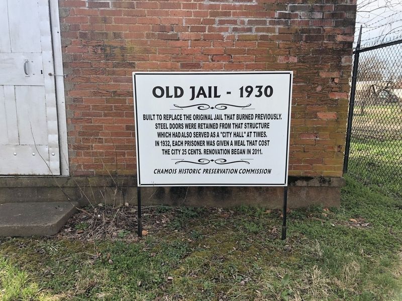
Erected by Chamois Historic Preservation Commission.
Topics. This historical marker is listed in these topic lists: Government & Politics • Law Enforcement. A significant historical year for this entry is 1930.
Location. 38° 40.545′ N, 91° 46.283′ W. Marker is in Chamois, Missouri, in Osage County. It is on West Pacific Street just west of South Locust Street, on the left when traveling west. Touch for map. Marker is at or near this postal address: 107 W Pacific St, Chamois MO 65024, United States of America. Touch for directions.

Regionally, this marker is in the Missouri River Corridor. It is also in the American Midwest, in the Lewis & Clark Corridor, and in the Corn Belt. Globally, it is in North America, the Western Hemisphere, the Western World, and the Anglosphere. Historically, it finds itself in what was once the territory of the Mississippian Culture,
this page online
Other nearby markers. At least 8 other markers are within 6 miles of this marker, measured as the crow flies: The Lewis and Clark Expedition Across Missouri (approx. 2.7 miles away); Portland to Mokane (approx. 3.8 miles away); Portland to McKittrick (approx. 3.8 miles away); Mysteries of Standing Rock (approx. 5.4 miles away); History of Mokane (approx. 5.4 miles away); Mokane to Portland (approx. 5.4 miles away); Mokane to Tebbetts (approx. 5.4 miles away); Katy Railroad (approx. 5.4 miles away).
Credits. This page was last revised on March 25, 2021. It was originally submitted on March 25, 2021, by Devry Becker Jones of Washington, District of Columbia. This page has been viewed 491 times since then and 44 times this year. Photos: 1, 2. submitted on March 25, 2021, by Devry Becker Jones of Washington, District of Columbia.
