State Lot
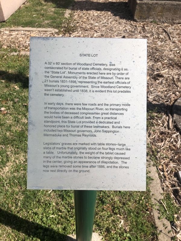
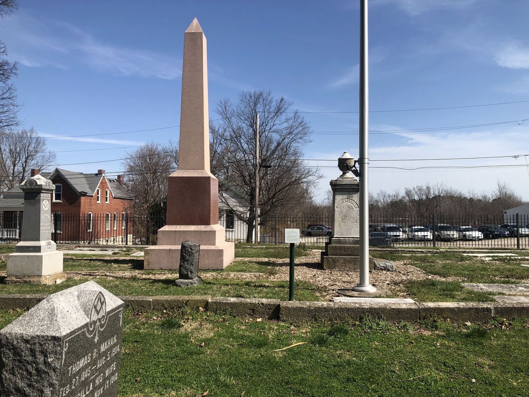
A 32' × 60' section of Woodland Cemetery, was consecrated for burial of state officials, designating it as the "State Lot". Monuments erected here are by order of the General Assembly of the State of Missouri. There are 21 burials 1831-1898, representing the earliest officials of Missouri's young government. Since the Woodland Cemetery wasn't established until 1838, it is evident that this lot predates the cemetery.
In early days, there were few roads and the primary mode of transportation was the Missouri River, so transporting the bodies of deceased congressmen great distances would have been a difficult task. From a practical standpoint, this State Lot provided a dedicated and honored place for burial of these lawmakers. Burials here included two Missouri governors, John Sappington Marmaduke and Thomas Reynolds.
Legislators' graves are marked with table stones--large slabs of marble that originally stood on four legs much like a table. Unfortunately, the weight of the tablet caused many of the marble stones to become strongly depressed in the center, giving an appearance of dilapidation. The legs were removed some time after 1886, and the stone now rest directly on the ground.
Topics. This historical marker is listed in these topic lists: Cemeteries & Burial Sites • Government & Politics. A significant historical year for this entry is 1838.
Location.
Other nearby markers. At least 8 other markers are within walking distance of this marker. A different marker also named State Lot (here, next to this marker); Woodland-Old City Cemetery (within shouting distance of this marker); Jefferson City National Cemetery (within shouting distance of this marker); A National Cemetery System (within shouting distance of this marker); Navy Seabees (about 300 feet away, measured in a direct line); 39th Regiment Monument (about 400 feet away); Veterans Memorial (about 500 feet away); Missouri State Penitentiary Warden's House (approx. 0.3 miles away). Touch for a list and map of all markers in Jefferson City.
Credits. This page was last revised on March 25, 2021. It was originally submitted on March 25, 2021, by Devry Becker Jones of Washington, District of Columbia. This page has been viewed 82 times since then and 11 times this year. Photos: 1, 2. submitted on March 25, 2021, by Devry Becker Jones of Washington, District of Columbia.

