Ararat in Patrick County, Virginia — The American South (Mid-Atlantic)
Laurel Hill
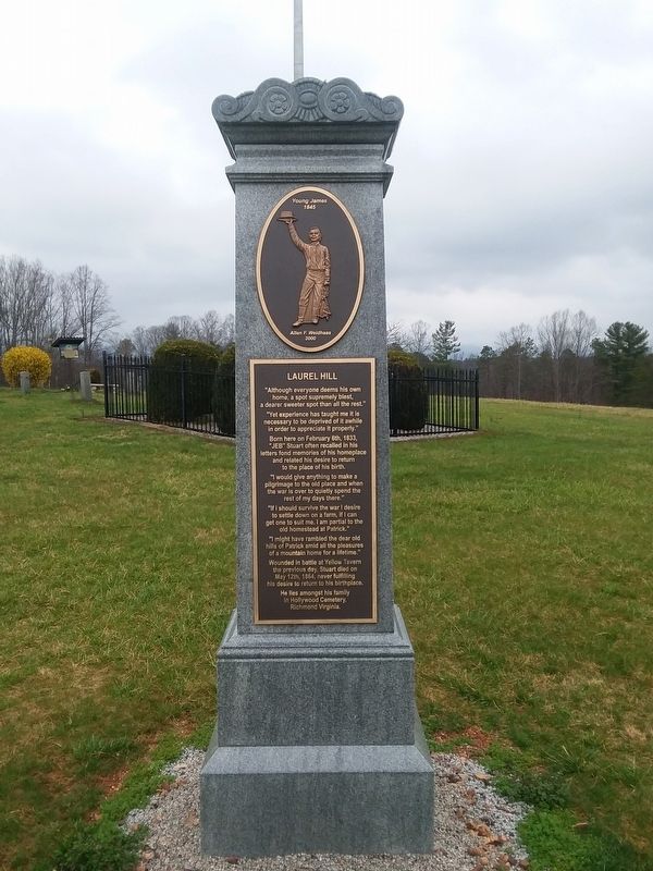
Photographed by Roger Miller, March 25, 2021
1. Laurel Hill Marker
Erected 2021 by J.E.B. Stuart Preservation Trust.
Topics. This
this page online
Location. 36° 33.805′ N, 80° 33.172′ W. Marker is in Ararat, Virginia, in Patrick County. It can be reached from Ararat Highway. Marker is near home site in the park. Touch for map. Marker is at or near this postal address: JEB Stuart Preservation Park, Ararat VA 24053, United States of America. Touch for directions.

Regionally, this marker is in Southern Virginia and in the Blue Ridge Highlands. It is also in the American South, specifically in the Upper South, in Appalachia, and specifically in Southern Appalachia. Globally, it is in North America, the Western Hemisphere, the Western World, and the Anglosphere. Historically, it finds itself in what was once the territory of the Mississippian Culture, one of the original Thirteen Colonies, one of the Confederate States of America, and the Antebellum South.
Other nearby markers. At least 8 other markers are within walking distance of this marker: House Site (within shouting distance of this marker); The Stuart Graveyard (within shouting distance of this marker);

Photographed by C. Ryan Dodson, October 3, 2021
2. Laurel Hill Marker
More about this marker. Marker was erected on Fed 28, 2021
Regarding Laurel Hill. Boyhood home of General J.E.B. Stuart.
Additional keywords. boyhood home
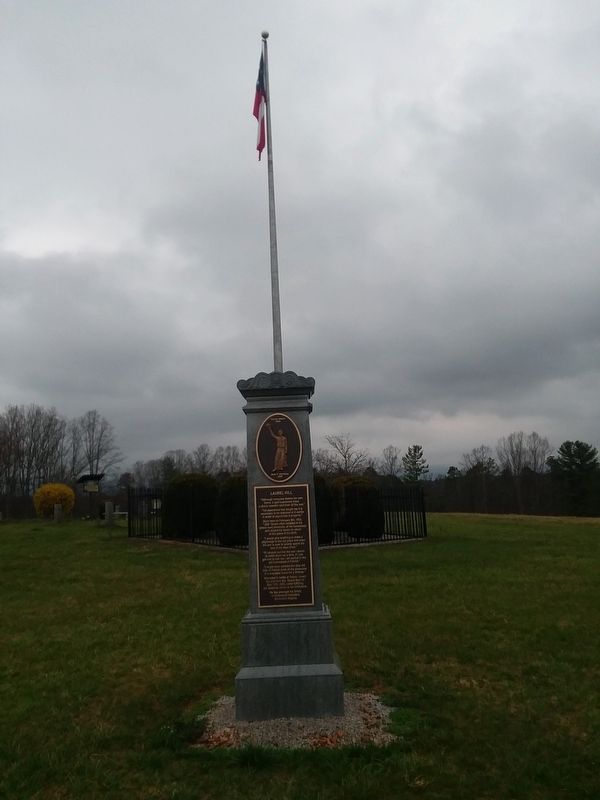
Photographed by Roger Miller, March 25, 2021
3. Laurel Hill Marker
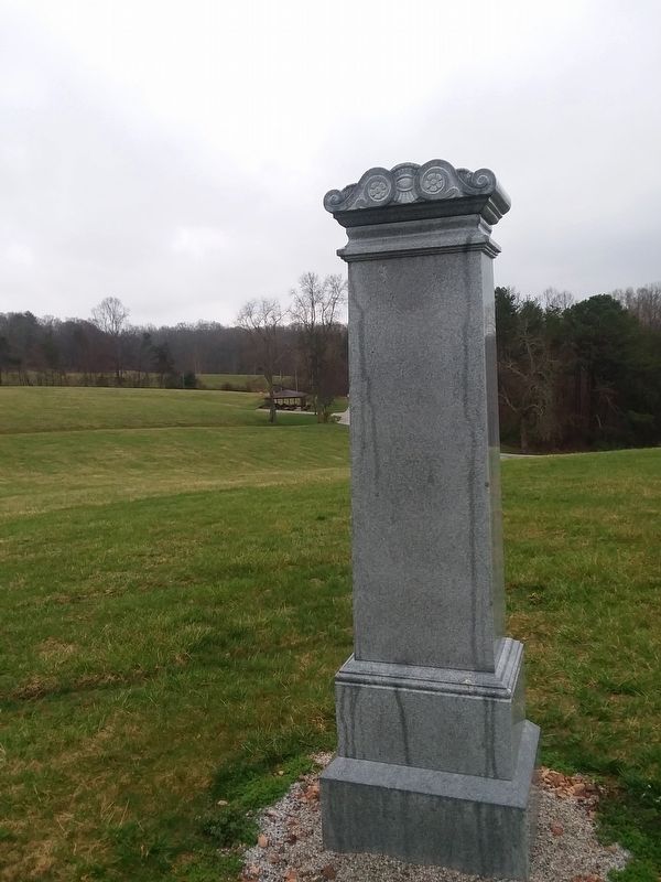
Photographed by Roger Miller, March 25, 2021
4. Laurel Hill Marker

Photographed by C. Ryan Dodson, October 3, 2021
5. Laurel Hill Marker

Photographed by C. Ryan Dodson, October 4, 2025
6. Laurel Hill Marker Interpretive Panel
Adjacent to the Marker.

Photographed by C. Ryan Dodson, October 4, 2025
7. Laurel Hill Marker Interpretive Panel
Adjacent to the Marker.

Photographed by C. Ryan Dodson, October 4, 2025
8. Laurel Hill Marker
Credits. This page was last revised on March 18, 2026. It was originally submitted on March 25, 2021, by Roger Miller of Pulaski, Virginia. This page has been viewed 299 times since then and 37 times this year. Photos: 1. submitted on March 25, 2021, by Roger Miller of Pulaski, Virginia. 2. submitted on October 3, 2025, by C. Ryan Dodson of Danville, Virginia. 3, 4. submitted on March 25, 2021, by Roger Miller of Pulaski, Virginia. 5. submitted on October 3, 2025, by C. Ryan Dodson of Danville, Virginia. 6, 7, 8. submitted on March 8, 2026, by C. Ryan Dodson of Danville, Virginia. • Bill Pfingsten was the editor who published this page.
