Columbia in Boone County, Missouri — The American Midwest (Upper Plains)
Douglass Park and Pool, Russell Chapel
African-American Heritage Trail
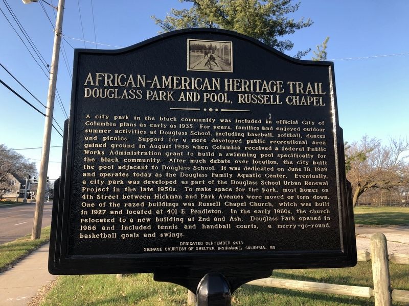
Photographed by Devry Becker Jones (CC0), March 21, 2021
1. Douglass Park and Pool, Russell Chapel Marker
A city park in the black community was included in the official City of Columbia plans as early as 1935. For years, families had enjoyed outdoor summer activities at Douglass School, including baseball, softball, dances and picnics. Support for a more developed public recreational area gained ground in August 1938 when Columbia received a federal Public Works Administration grant to build a swimming pool specifically for the black community. After much debate over location, the city built the pool adjacent to Douglass School. It was dedicated on June 18, 1939 and operates today as the Douglass Family Aquatic Center. Eventually, a city park was developed as part of the Douglass School Urban Renewal Project in the late 1950s. To make space for the park, most homes on 4th Street between Hickman and Park Avenues were moved or torn down. One of the razed buildings was Russell Chapel Church, which was built in 1927 and located at 401 E. Pendleton. In the early 1960s, the church relocated to a new building at 2nd and Ash. Douglass Park opened in 1966 and included tennis and handball courts, a merry-go-round, basketball goals and
this page online
Erected 2018 by Sharp End Heritage Committee, Economic Development Inc., City of Columbia; signage courtesy of Shelter Insurance, Columbia, MO.
Topics and series. This historical marker is listed in these topic lists: African Americans • Parks & Recreational Areas • Religion & Religious Structures • Sports. In addition, it is included in the Columbia's African-American Heritage Trail, Missouri series list. A significant historical date for this entry is June 18, 1939.
Location. 38° 57.394′ N, 92° 20.043′ W. Marker is in Columbia, Missouri, in Boone County. It is on North Providence Road (State Highway 163) just north of Switzler Street, on the right when traveling north. Touch for map. Marker is at or near this postal address: 400 N Providence Rd, Columbia MO 65203, United States of America. Touch for directions.

Regionally, this marker is in Little Dixie and in the Missouri River Corridor. It is also in the American Midwest, in the Lewis & Clark Corridor, and in the Corn Belt. Globally, it is in North America, the Western Hemisphere, the Western World, and the Anglosphere. Historically, it finds itself
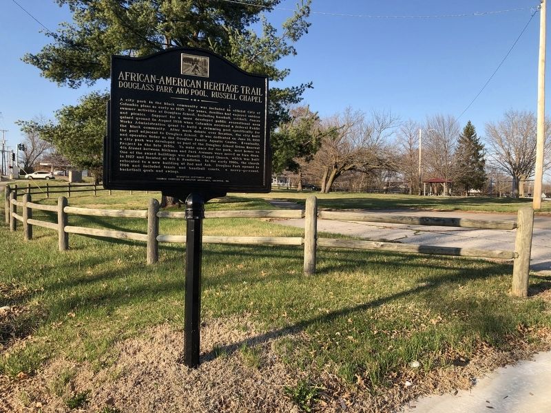
Photographed by Devry Becker Jones (CC0), March 21, 2021
2. Douglass Park and Pool, Russell Chapel Marker
Other nearby markers. At least 8 other markers are within walking distance of this marker: 3rd Street Market, Blue & White Café, and the Harvey House (within shouting distance of this marker); In Loving Memory of Mrs. Beulah Ralph (about 500 feet away, measured in a direct line); The Wynna Faye Tapp-Elbert Memorial Amphitheater (about 600 feet away); African American Heritage Trail (approx. 0.2 miles away); African-American Heritage Trail (approx. 0.2 miles away); a different marker also named African-American Heritage Trail (approx. 0.2 miles away); a different marker also named African-American Heritage Trail (approx. 0.2 miles away); a different marker also named African-American Heritage Trail (approx. 0.2 miles away). Touch for a list and map of all markers in Columbia.
Also see . . . African-American Heritage Trail complete, ready to teach. Columbia Missourian website entry (Submitted on April 23, 2022, by Larry Gertner of New York, New York.)
Credits. This page was last revised on April 23, 2022. It was originally submitted on March 26, 2021, by Devry Becker Jones of Washington, District of Columbia. This page has been viewed 800 times since then and 61 times this year. Photos: 1, 2. submitted on March 26, 2021, by Devry Becker Jones of Washington, District of Columbia.
