New Melle in St. Charles County, Missouri — The American Midwest (Upper Plains)
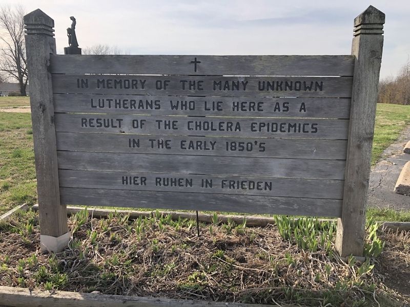
Hier Ruhen In Frieden
[Rest in Peace]
Topics. This historical marker is listed in these topic lists: Cemeteries & Burial Sites • Disasters • Religion & Religious Structures • Settlements & Settlers.
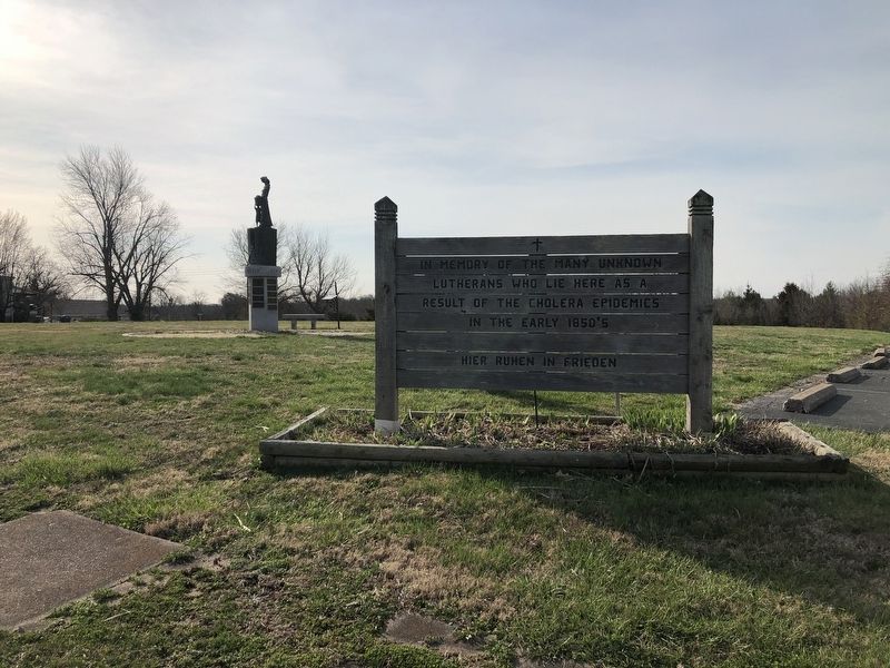
Location. 38° 42.531′ N, 90° 52.909′ W. Marker is in New Melle, Missouri, in St. Charles County. It is at the intersection of Almeling Street and Arlie Welge Street, on the right when traveling east on Almeling Street. Touch for map. Marker is at or near this postal address: 145 Almeling St, Defiance MO 63341, United States of America. Touch for directions.

Regionally, this marker is in the Missouri River Corridor and in Greater St. Louis. It is also in the American Midwest, in the Lewis & Clark Corridor, in the Corn Belt, and in the Great River Road Region. Globally, it is in North America, the Western Hemisphere, the Western World, and the Anglosphere. Historically, it finds itself in what was once the territory of the Mississippian Culture, the Louisiana Purchase, and the
this page online
Other nearby markers. At least 8 other markers are within 5 miles of this marker, measured as the crow flies: New Melle Sister City Photo Display (a few steps from this marker); New Melle (about 700 feet away, measured in a direct line); Butler Bro's General Store (approx. ¼ mile away); Boone Homestead (approx. 4.2 miles away); Daniel Boone Home (approx. 4.2 miles away); Daniel Boone (approx. 4.2 miles away); Searching for Opportunity (approx. 4.2 miles away); Nathan Boone (approx. 4.2 miles away). Touch for a list and map of all markers in New Melle.

Credits. This page was last revised on March 26, 2021. It was originally submitted on March 26, 2021, by Devry Becker Jones of Washington, District of Columbia. This page has been viewed 694 times since then and 43 times this year. Photos: 1, 2, 3. submitted on March 26, 2021, by Devry Becker Jones of Washington, District of Columbia.
