Lexington in Fayette County, Kentucky — The American South (East South Central)
Boone's Creek Baptist Church
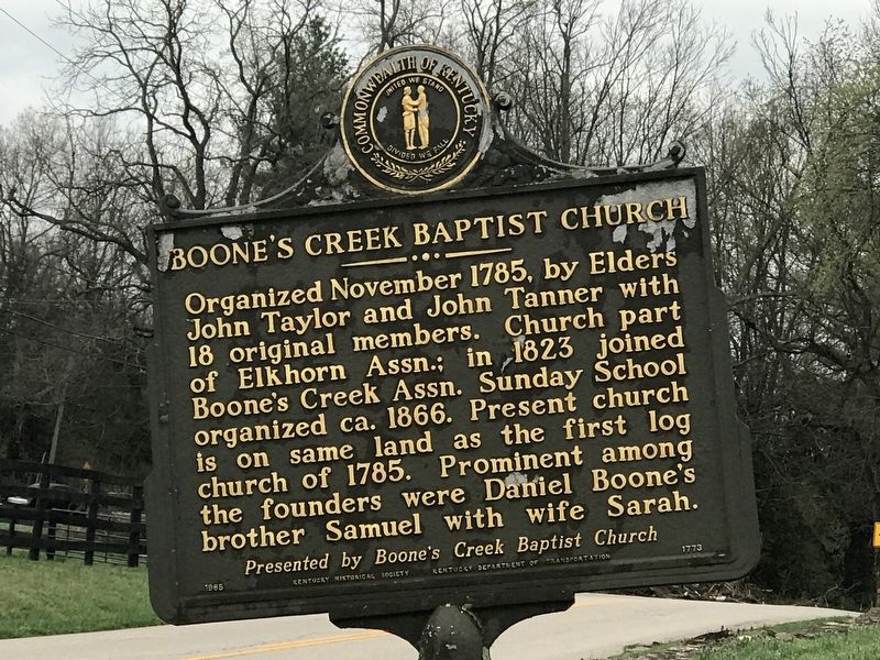
Photographed by Duane and Tracy Marsteller, March 27, 2021
1. Boone's Creek Baptist Church Marker
Erected 1985 by Kentucky Historical Society and Kentucky Department of Transportation. (Marker Number 1773.)
Topics and series. This historical marker is listed in this topic list: Religion & Religious Structures. In addition, it is included in the Kentucky Historical Society series list. A significant historical month for this entry is November 1785.
Location. 37° 57.11′ N, 84° 21.846′ W. Marker is in Lexington, Kentucky, in Fayette County. It is on North Cleveland Road north of Democrat Boulevard, on the left when traveling north. Touch for map. Marker is at or near this postal address: 185 North Cleveland Road, Lexington KY 40509, United States of America. Touch for directions.

Regionally, this marker is in the Bluegrass Region. It is also in
this page online
Other nearby markers. At least 8 other markers are within 4 miles of this marker, measured as the crow flies: Boone (approx. 0.4 miles away); Uncovering Our Pioneer Past (approx. 0.4 miles away); Samuel Boone (approx. 0.4 miles away); Cave Spring (approx. 1.9 miles away); John Jacob Niles (approx. 2 miles away); Caveland (approx. 3.1 miles away); Jones Nursery / Nursery Place (approx. 3.2 miles away); Pioneer Leaders Founded Church (approx. 3.4 miles away). Touch for a list and map of all markers in Lexington.
Another marker is no longer nearby. Boone's Station (was approx. 0.4 miles away but has been confirmed missing).
Also see . . . A History of Boone's Creek Baptist Church (PDF). By Tim Capps. An unpublished recap of the church's first 200 years. (Submitted on March 29, 2021, by Duane and Tracy Marsteller of Murfreesboro, Tennessee.)
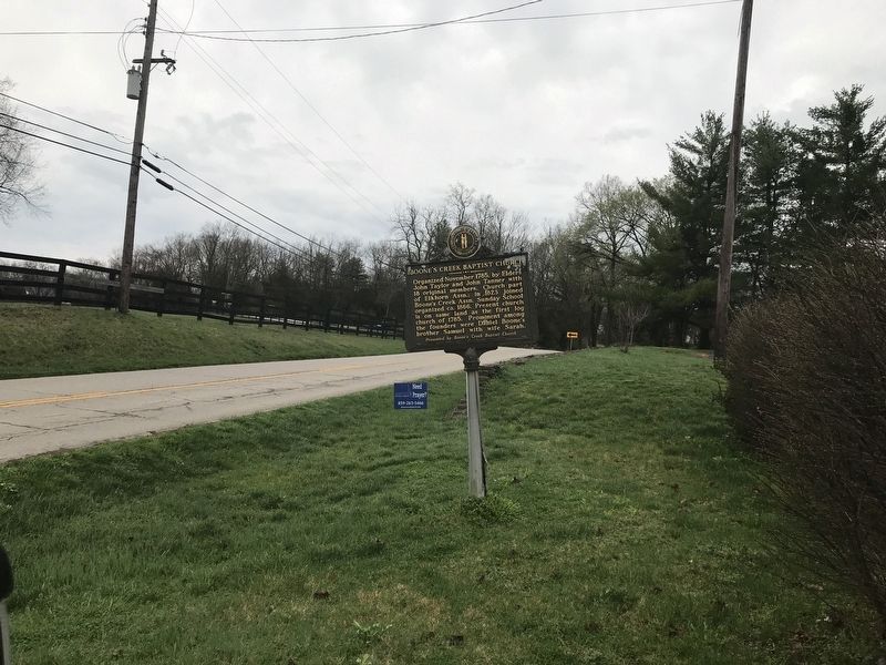
Photographed by Duane and Tracy Marsteller, March 27, 2021
2. Boone's Creek Baptist Church Marker
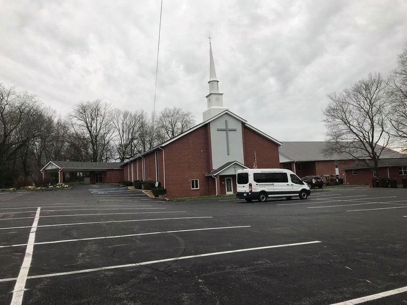
Photographed by Duane and Tracy Marsteller, March 27, 2021
3. Boone's Creek Baptist Church Marker
The present church building, built in 1965.
Credits. This page was last revised on March 29, 2021. It was originally submitted on March 29, 2021, by Duane and Tracy Marsteller of Murfreesboro, Tennessee. This page has been viewed 649 times since then and 48 times this year. Photos: 1, 2, 3. submitted on March 29, 2021, by Duane and Tracy Marsteller of Murfreesboro, Tennessee.
