Near Lexington in Clark County, Kentucky — The American South (East South Central)
Jones Nursery
⎯⎯⎯
Nursery Place
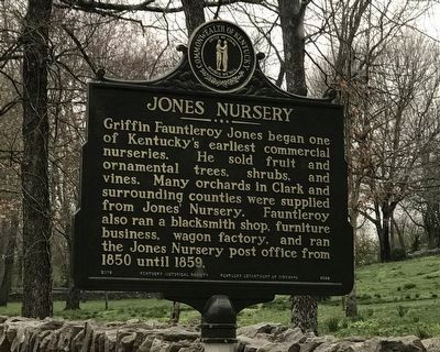
Photographed by Duane and Tracy Marsteller, March 27, 2021
1. Jones Nursery side of marker
Erected 2019 by Kentucky Historical Society and Kentucky Department of Highways. (Marker Number 2599.)
Topics and series. This historical marker is listed in these topic lists: Architecture • Horticulture & Forestry • Industry & Commerce. In addition, it is included in the Kentucky Historical Society series list. A significant historical year for this entry is 1850.
Location. 37° 56.043′ N, 84° 18.621′ W.
this page online

Regionally, this marker is in the Bluegrass Region. It is also in the American South and specifically in the Upper South. Globally, it is in North America, the Western Hemisphere, the Western World, and the Anglosphere. Historically, it finds itself in what was once the territory of the Mississippian Culture and also the Antebellum South.
Other nearby markers. At least 8 other markers are within 3 miles of this marker, measured as the crow flies: Caveland (approx. 0.3 miles away); John Jacob Niles (approx. 1.6 miles away); Colonel John Holder / Howard's Creek Industrial Center (approx. 2.3 miles away); Salt Spring Trace (approx. 2.3 miles away); Samuel Boone (approx. 2.8 miles away); Uncovering Our Pioneer Past (approx. 2.8 miles away); Boone (approx. 2.8 miles away); Boone-Callaway Girls Kidnapping (approx. 3 miles away).

Photographed by Duane and Tracy Marsteller, March 27, 2021
2. Nursery Place side of marker
Another marker is no longer nearby. Boone's Station (was approx. 2.8 miles away but has been confirmed missing).
Also see . . . Jones Nursery/Nursery Place. From Kentucky Historical Society's ExploreKYHistory project. (Submitted on March 29, 2021, by Duane and Tracy Marsteller of Murfreesboro, Tennessee.)
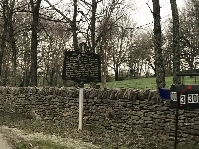
Photographed by Duane and Tracy Marsteller, March 27, 2021
3. Jones Nursery / Nursery Place Marker

Photographed by Duane and Tracy Marsteller, March 27, 2021
4. Nursery Place
Credits. This page was last revised on March 29, 2021. It was originally submitted on March 29, 2021, by Duane and Tracy Marsteller of Murfreesboro, Tennessee. This page has been viewed 1,016 times since then and 55 times this year. Photos: 1, 2, 3, 4. submitted on March 29, 2021, by Duane and Tracy Marsteller of Murfreesboro, Tennessee.
