Lexington in Fayette County, Kentucky — The American South (East South Central)
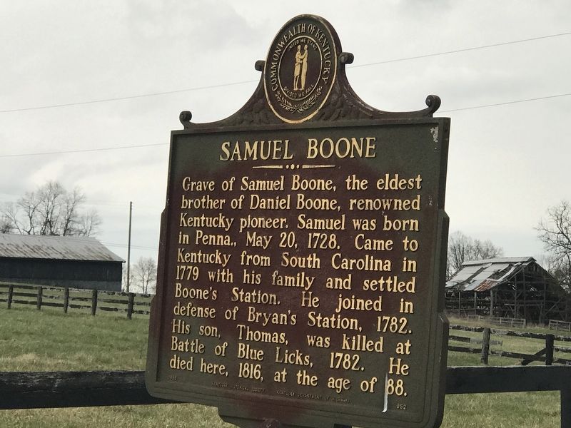
Samuel Boone
Erected 1966 by Kentucky Historical Society and Kentucky Department of Highways. (Marker Number 952.)
Topics and series. This historical marker is listed in these topic lists: Cemeteries & Burial Sites • Settlements & Settlers • War, US Revolutionary. In addition, it is included in the Kentucky Historical Society series list. A significant historical year for this entry is 1779.
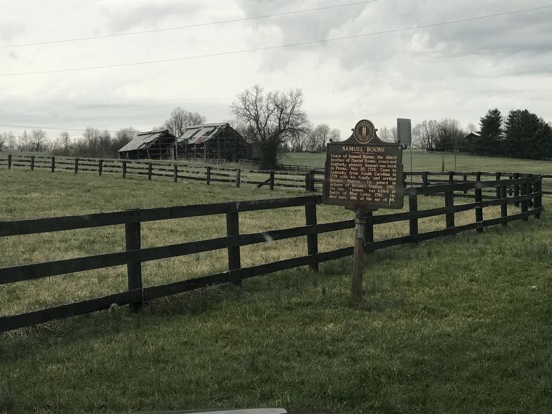
Location. 37° 57.041′ N, 84° 21.391′ W. Marker is in Lexington, Kentucky, in Fayette County. Marker is on Gentry Road just east of North Baxter Boulevard, on the left when traveling east. Marker is at Boone's Station State Historic Site. Public access into the site is restricted, with no-trespassing notices posted. Touch for map. Marker is at or near this postal address: 240 Gentry Road, Lexington KY 40509, United States of America. Touch for directions.
Other nearby markers. At least 8 other markers are within 3 miles of this marker, measured as the crow flies. Boone's Station (a few steps from this marker); Uncovering Our Pioneer Past (within shouting distance of this marker); Boone (about 400 feet away, measured in a direct line); Boone's Creek Baptist Church (approx. 0.4 miles away); John Jacob Niles (approx. 1.6 miles away); ← Cave Spring (approx. 2.3 miles away); Caveland (approx. 2.7 miles away); Jones Nursery / Nursery Place (approx. 2.8 miles away). Touch for a list and map of all markers in Lexington.

Photographed By Duane and Tracy Marsteller, March 27, 2021
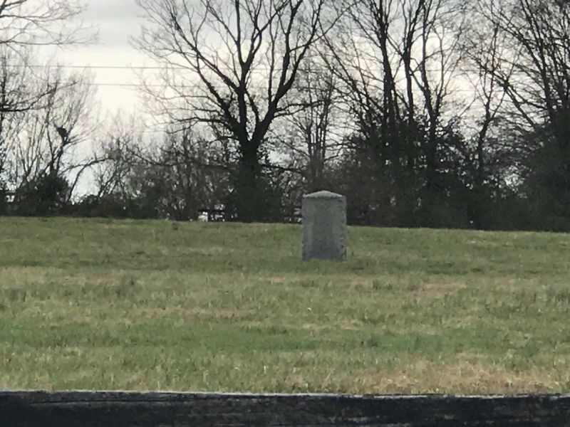
3. Boone Grave Marker
As seen from along the fence about 75 yards away. The stone marks the graves of Samuel Boone; his wife, Sarah Day Boone (1734-1819); their son, Thomas (killed in Battle of Blue Licks, Aug. 19, 1782); Edward Boone (1740-1780), Daniel and Samuel's brother; and Daniel and Rebecca Bryan Boone's son Israel (1759-1782), who also was killed at Blue Licks.
Credits. This page was last revised on March 29, 2021. It was originally submitted on March 29, 2021, by Duane and Tracy Marsteller of Murfreesboro, Tennessee. This page has been viewed 598 times since then and 80 times this year. Photos: 1, 2, 3. submitted on March 29, 2021, by Duane and Tracy Marsteller of Murfreesboro, Tennessee.

