Lexington in Fayette County, Kentucky — The American South (East South Central)
Cave Spring
←
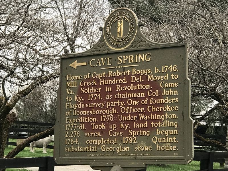
Photographed by Duane and Tracy Marsteller, March 27, 2021
1. ← Cave Spring Marker
Home of Capt. Robert Boggs, b.1746, Mill Creek Hundred, Del. Moved to Va. Soldier in Revolution. Came to Ky., 1774, as chainman Col. John Floyd's survey party. One of founders of Boonesborough. Officer, Cherokee Expedition, 1776. Under Washington, 1777-81. Took up Ky. land totaling 2,276 acres. Cave Spring begun 1784, completed 1792. Quaint, substantial Georgian stone house.
Erected 1971 by Kentucky Historical Society and Kentucky Department of Highways. (Marker Number 1404.)
Topics and series. This historical marker is listed in these topic lists: Architecture • Exploration • Settlements & Settlers • War, US Revolutionary. In addition, it is included in the Kentucky Historical Society series list. A significant historical year for this entry is 1774.
Location. 37° 57.088′ N, 84° 23.946′ W. Marker is in Lexington, Kentucky, in Fayette County. It is on Athens Walnut Hill Road 0.7 miles west of Interstate 75, on the left when traveling west. Touch for map. Marker is at or near this postal address: 5180 Athens Walnut Hill Road, Lexington KY 40515, United States of America. Touch for directions.

Regionally,
this page online
Other nearby markers. At least 8 other markers are within 5 miles of this marker, measured as the crow flies: Pioneer Leaders Founded Church (approx. 1.8 miles away); Boone's Creek Baptist Church (approx. 1.9 miles away); Boone (approx. 2.3 miles away); Uncovering Our Pioneer Past (approx. 2.3 miles away); Samuel Boone (approx. 2.3 miles away); John Jacob Niles (approx. 3½ miles away); Cleveland-Rogers House (approx. 4.3 miles away); Caveland (approx. 5 miles away). Touch for a list and map of all markers in Lexington.
Another marker is no longer nearby. Boone's Station (was approx. 2.3 miles away but has been confirmed missing).
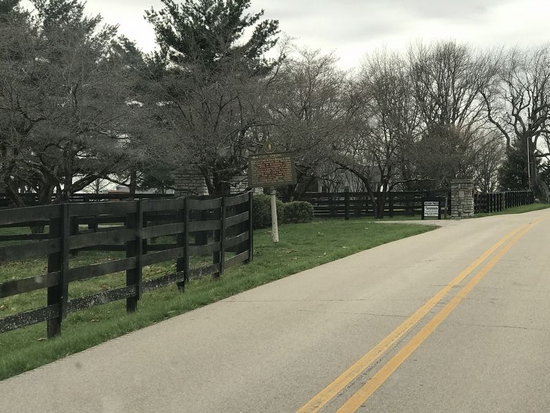
Photographed by Duane and Tracy Marsteller, March 27, 2021
2. ← Cave Spring Marker
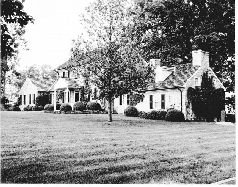
Carl E. Lindberg, via NPS, 1978
3. Cave Spring
National Register of Historic Places Digital Archive on NPGallery website entry
Click for more information.
Click for more information.
Credits. This page was last revised on February 25, 2026. It was originally submitted on March 30, 2021, by Duane and Tracy Marsteller of Murfreesboro, Tennessee. This page has been viewed 1,847 times since then and 84 times this year. Photos: 1, 2, 3. submitted on March 30, 2021, by Duane and Tracy Marsteller of Murfreesboro, Tennessee.
