Bell Court in Lexington in Fayette County, Kentucky — The American South (East South Central)
Clay Villa, ca. 1845
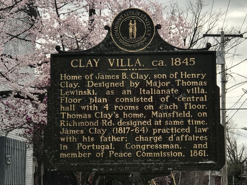
Photographed by Duane and Tracy Marsteller, March 27, 2021
1. Clay Villa, ca. 1845 Marker
Erected 1972 by Kentucky Historical Society and Kentucky Department of Highways. (Marker Number 1459.)
Topics and series. This historical marker is listed in this topic list: Architecture. In addition, it is included in the Kentucky Historical Society series list. A significant historical year for this entry is 1845.
Location. 38° 2.381′ N, 84° 29.282′ W. Marker is in Lexington, Kentucky, in Fayette County. It is in Bell Court. It is on Forest Avenue west of Sayre Avenue, on the right when traveling west. Touch for map. Marker is at or near this postal address: 125 Forest Avebue, Lexington KY 40508, United States of America. Touch for directions.

Regionally, this marker is in the Bluegrass Region. It is also in the American South and specifically in the
this page online
Other nearby markers. At least 8 other markers are within walking distance of this marker: Bell Place (about 600 feet away, measured in a direct line); Second Presbyterian Church (about 600 feet away); Lexington (approx. 0.2 miles away); William S. Farish (approx. 0.2 miles away); Robert A. Alexander (approx. 0.2 miles away); George Washington (approx. 0.2 miles away); Sam Hildreth (approx. 0.2 miles away); John S. Knight (approx. 0.2 miles away). Touch for a list and map of all markers in Lexington.
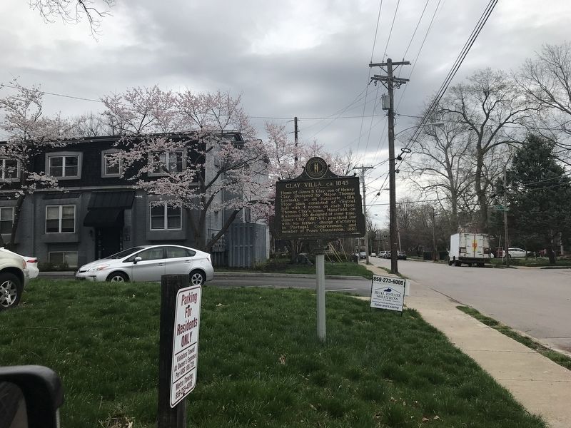
Photographed by Duane and Tracy Marsteller, March 27, 2021
2. Clay Villa, ca. 1845 Marker
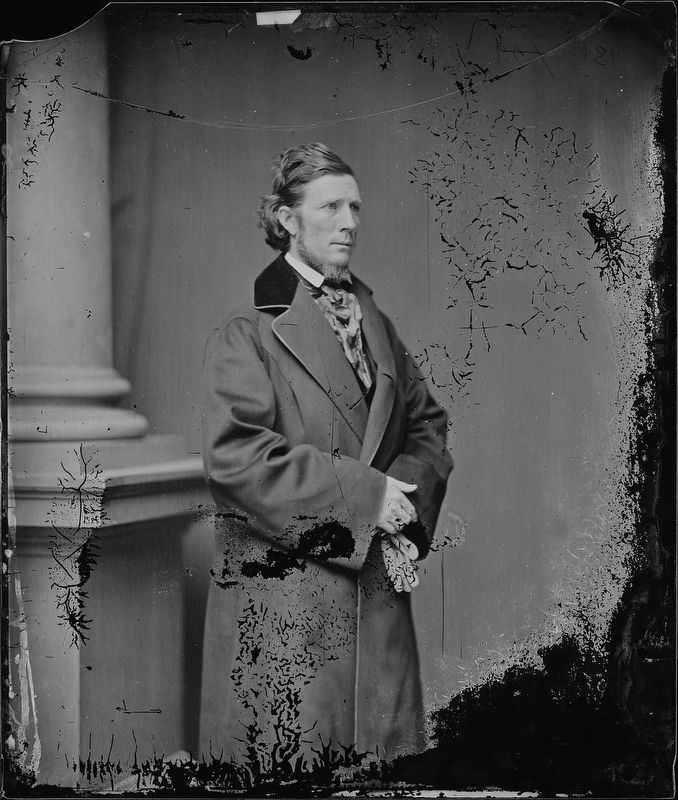
National Archives and Records Administration
3. James Brown Clay (1817-1864)
Credits. This page was last revised on February 12, 2023. It was originally submitted on March 30, 2021, by Duane and Tracy Marsteller of Murfreesboro, Tennessee. This page has been viewed 709 times since then and 116 times this year. Photos: 1, 2, 3. submitted on March 30, 2021, by Duane and Tracy Marsteller of Murfreesboro, Tennessee.
