Near Oil City in Caddo Parish, Louisiana — The American South (West South Central)
Caddo Lake

Photographed by Jason Armstrong, February 27, 2021
1. Caddo Lake Marker
Today, Oil City is a Louisiana historical site featuring three historic boomtown buildings and numerous outdoor exhibits. Across the street from the city's old Kansas City Southern Railroad Depot, which is now a museum is the new 12,000 square foot Louisiana State Oil and Gas Museum. A division of the Secretary of State's Museum Program, the Louisiana State Oil and Museum is locally governed by the Caddo-Pine Island Oil and Historical Society.
Erected by 4th grade students of Oil City Environmental Magnet School, Learn and Serve America.
Topics. This historical marker is listed in these topic lists: Indigenous Peoples and Communities • Industry & Commerce. A significant historical year for this entry is 1904.
Location. 32° 43.636′ N,
this page online

Regionally, this marker is in North Louisiana. It is also in the American South, specifically in the Deep South, and in the Piney Woods. Globally, it is in North America, a Gulf of Mexico state, the Western Hemisphere, the Western World, and the Anglosphere. Historically, it finds itself in what was once the territory of the Mississippian Culture, the Louisiana Purchase, one of the Confederate States of America, and the Antebellum South.
Other nearby markers. At least 8 other markers are within 8 miles of this marker, measured as the crow flies: Huddie “Leadbelly” Ledbetter (about 300 feet away, measured in a direct line); First Over Water Oil Well (about 700 feet away); Trees City Office & Bank (approx. one mile away); Boom or Bust Byway (approx. one mile
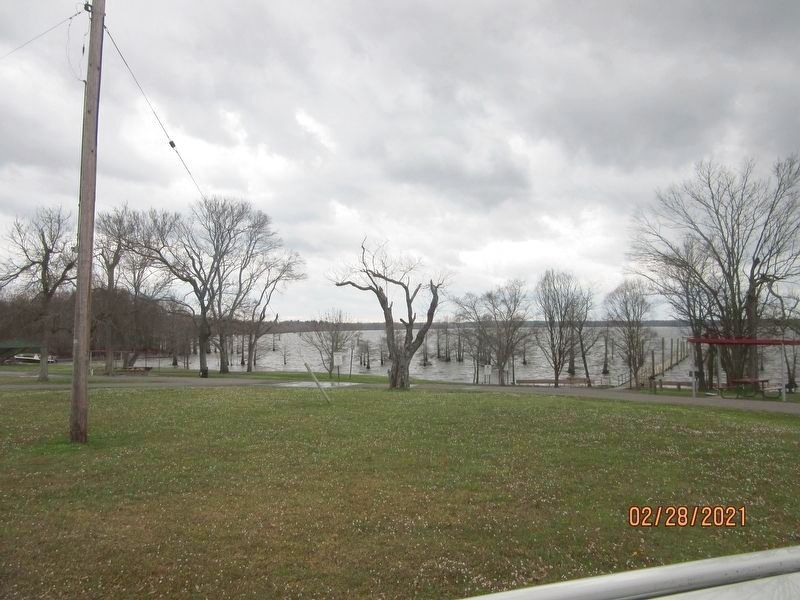
Photographed by Jason Armstrong, February 27, 2021
2. Caddo Lake
Credits. This page was last revised on April 1, 2021. It was originally submitted on March 30, 2021, by Jason Armstrong of Talihina, Oklahoma. This page has been viewed 601 times since then and 38 times this year. Photos: 1, 2. submitted on March 31, 2021, by Jason Armstrong of Talihina, Oklahoma. • Mark Hilton was the editor who published this page.
