Bridgeport in Morrill County, Nebraska — The American Midwest (Upper Plains)
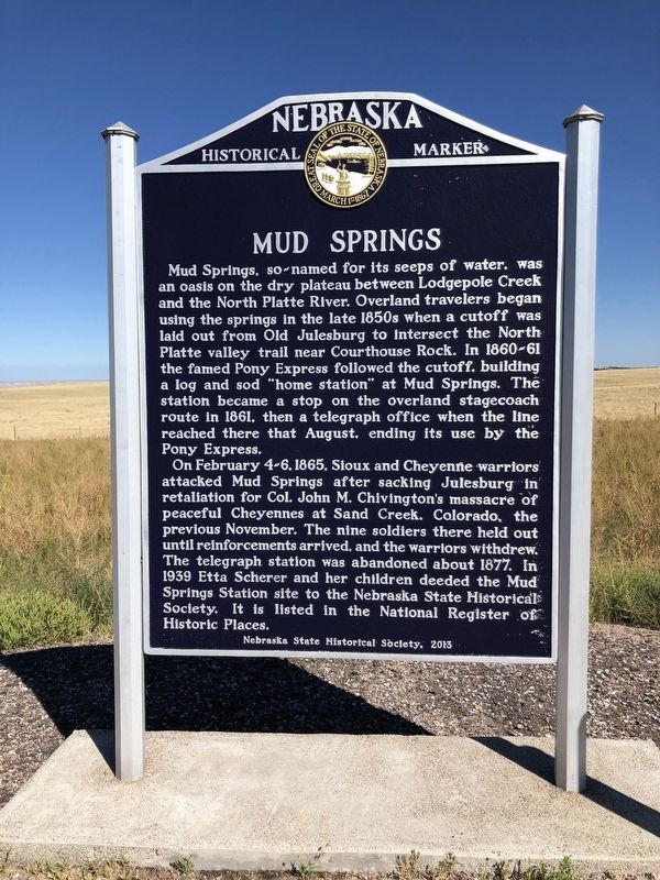
Mud Springs
Nebraska Historical Marker
Mud Springs, so-named for its seeps of water, was an oasis on the dry plateau between Lodgepole Creek and the North Platte River. Overland travelers began using the springs in the late 1850s when a cutoff was laid out from Old Julesburg to intersect the North Platte valley trail near Courthouse Rock. In 1860-61 the famed Pony Express followed the cutoff, building a log and sod "home station" at Mud Springs. The station became a stop on the overland stagecoach route in 1861, then a telegraph office when the line reach there that August, ending its use by the Pony Express.
On February 4-6, 1865, Sioux and Cheyenne warriors attacked Mud Springs after sacking Julesburg in retaliation for Col. John M. Chivington's massacre of peaceful Cheyennes at Sand Creek, Colorado, the previous November. The nine soldiers there held out until reinforcements arrived, and the warriors with drew. The telegraph station was abandoned about 1877. In 1939 Etta Scherer and her children deeded the Mud Springs Station site to the Nebraska State Historical Society. It is listed in the National Register of Historic Places.
Erected 2013 by Nebraska State Historical Society. (Marker Number 492.)
Topics and series. This historical marker is listed in these topic lists: Communications • Settlements & Settlers • Wars, US Indian • Waterways & Vessels. In addition, it is included in the Nebraska State Historical Society series list.
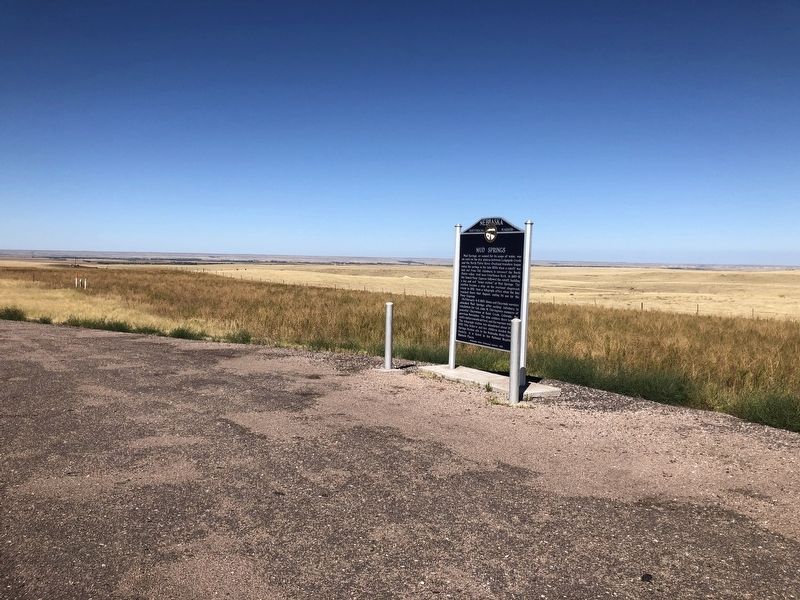
Location. 41° 29.471′ N, 102° 59.024′ W. Marker is in Bridgeport, Nebraska, in Morrill County. Marker is on Gold Rush Byway (U.S. 385) 0.7 miles south of Local Road 68. Touch for map. Marker is in this post office area: Broadwater NE 69125, United States of America. Touch for directions.
Other nearby markers. At least 8 other markers are within 15 miles of this marker, measured as the crow flies. Mud Springs Station (approx. 1.8 miles away); Amanda Lamme (approx. 8˝ miles away); Courthouse and Jail Rocks (approx. 9.6 miles away); Guiding Landmarks (approx. 12.7 miles away); Oregon Trail (approx. 12.8 miles away); Dedicated to the Early Pioneers (approx. 13.3 miles away); Bridgeport, Nebraska (approx. 14 miles away); Mormon Pioneer Camp (approx. 14.3 miles away). Touch for a list and map of all markers in Bridgeport.
Credits. This page was last revised on May 16, 2023. It was originally submitted on March 31, 2021, by Ruth VanSteenwyk of Aberdeen, South Dakota. This page has been viewed 239 times since then and 39 times this year. Last updated on May 14, 2023, by Jeff Leichsenring of Garland, Texas. Photos: 1, 2. submitted on March 31, 2021, by Ruth VanSteenwyk of Aberdeen, South Dakota. • J. Makali Bruton was the editor who published this page.

