
Bridgeport in Morrill County, Nebraska — The American Midwest (Upper Plains)
Mud Springs Station
Photographed by Ruth VanSteenwyk, September 12, 2020
1. Mud Springs Station Marker
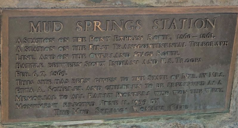
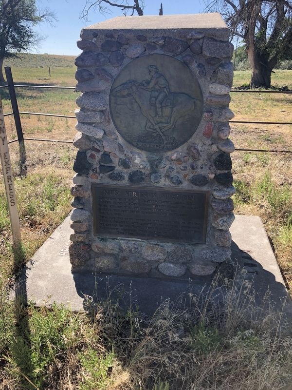
A station on the Pony Express Route, 1860 - 1861. A station on the First Transcontinental Telegraph Line, and on the Overland Stage Route. Battle between Sioux Indians and U.S. Troops Feb. 6-7, 1865.
This site had been given to the State of Neb. By Mrs. Etta A. Scherer and children to be preserved as a memorial to all early pioneers who won the west.
Erected 1939 by The Mud Springs Woman's Club.
Topics. This historical marker is listed in these topic lists: Communications • Industry & Commerce • Wars, US Indian. A significant historical year for this entry is 1860.
Location. 41° 29.066′ N, 103° 1.031′ W. Marker is in Bridgeport, Nebraska, in Morrill County. It can be reached from 68 1½ miles west of Gold Rush Byway (U.S. 385), on the left when traveling north. Follow the signs when you get close to the marker. Stay on the trail. Touch for map. Marker is in this post office area: Bridgeport NE 69336, United States of America. Touch for directions.

Regionally, this marker is in the Nebraska Panhandle. It is also in the American Midwest, in the Corn Belt, on the prairies, on the Great Plains, and specifically
this page online
Other nearby markers. At least 8 other markers are within 15 miles of this marker, measured as the crow flies: Mud Springs (approx. 1.8 miles away); Amanda Lamme (approx. 8.9 miles away); Courthouse and Jail Rocks (approx. 9.1 miles away); Oregon Trail (approx. 12½ miles away); Guiding Landmarks (approx. 12.7 miles away); Dedicated to the Early Pioneers (approx. 13.1 miles away); Bridgeport, Nebraska (approx. 13.7 miles away); Mormon Pioneer Camp (approx. 14.1 miles away). Touch for a list and map of all markers in Bridgeport.
Also see . . . Mud Springs Station Archeological District. Wikipedia entry (Submitted on June 13, 2024, by Larry Gertner of New York, New York.)
Photographed by Ruth VanSteenwyk, September 12, 2020
2. Mud Springs Station Marker
Photographed by Ruth VanSteenwyk, September 12, 2020
3. Mud Springs Station Marker
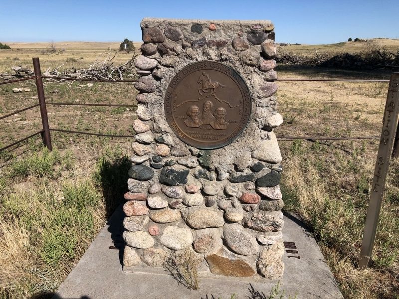
1860-61 National Pony Express Centennial Association 1960-61
Photographed by Ruth VanSteenwyk, September 12, 2020
4. Mud Springs Station Marker
Credits. This page was last revised on December 22, 2024. It was originally submitted on March 31, 2021, by Ruth VanSteenwyk of Aberdeen, South Dakota. This page has been viewed 781 times since then and 67 times this year. Photos: 1, 2, 3, 4. submitted on March 31, 2021, by Ruth VanSteenwyk of Aberdeen, South Dakota. • Devry Becker Jones was the editor who published this page.
