Pipestone in Pipestone County, Minnesota — The American Midwest (Upper Plains)
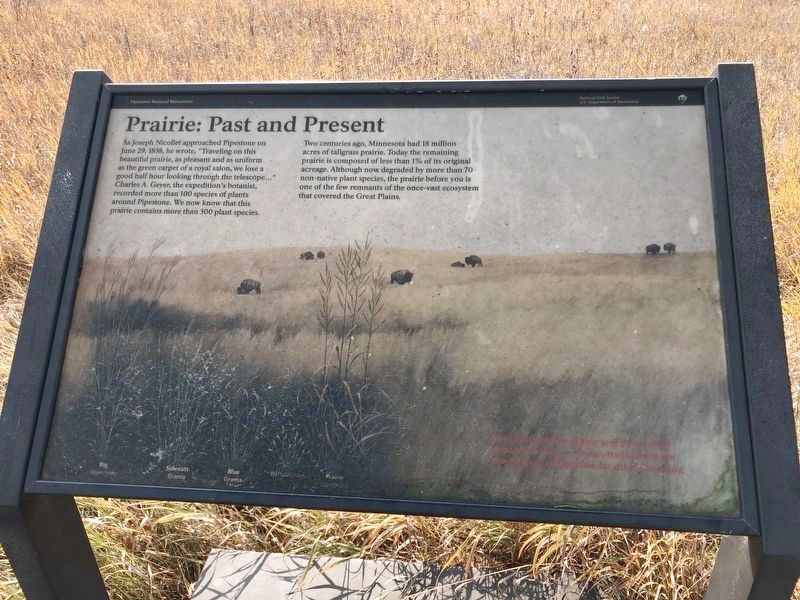
Prairie: Past and Present
As Joseph Nicollet approached Pipestone on June 29, 1838, he wrote, "Traveling on this beautiful prairie, as pleasant and as uniform as the green carpet of royal salon, we lose a good half hour looking through the telescope… Charles A. Geyer, the expedition's botanist, recorded more than 100 species of plants around Pipestone. We now know that this prairie contains more than 300 plant species.
Two centuries ago, Minnesota had 18 million acres of tall grass prairie. Today the remaining prairie is composed of less than 1% of its original acreage. Although now degraded by more than 70 non-native plant species, the prairie before you is one of the few remnants of the once-vast ecosystem that covered the Great Plains.
Erected by Pipestone National Monument Minnesota and National Park Service.
Topics. This historical marker is listed in these topic lists: Environment • Horticulture & Forestry • Parks & Recreational Areas. A significant historical date for this entry is June 29, 1838.
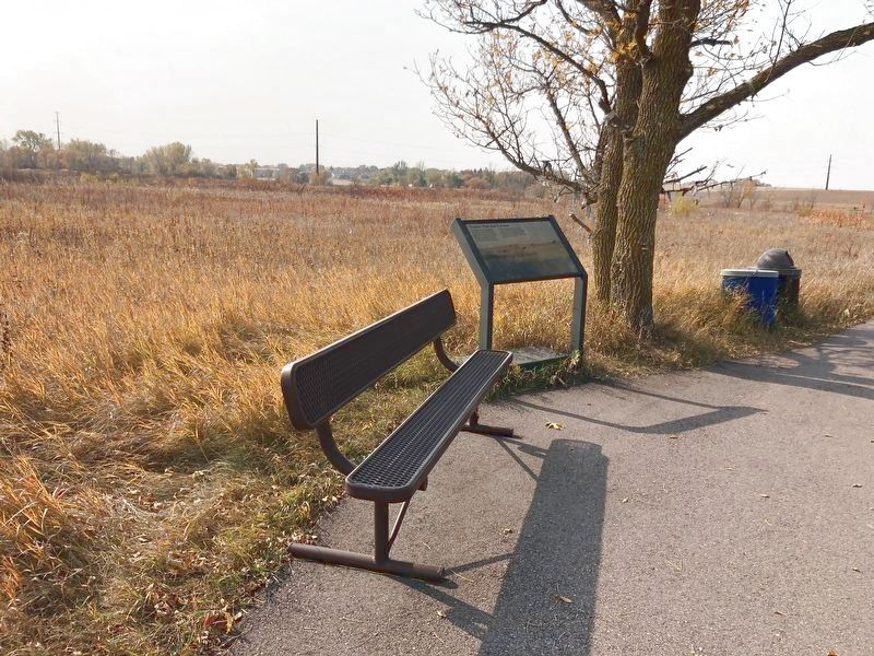
Location. 44° 0.799′ N, 96° 19.372′ W. Marker is in Pipestone, Minnesota, in Pipestone County. Marker is on West Reservation Avenue, 0.7 miles west of North Hiawatha Avenue. Located at the Pipestone National Monument. Touch for map. Marker is at or near this postal address: 36 W Reservation Ave, Pipestone MN 56164, United States of America. Touch for directions.
Other nearby markers. At least 8 other markers are within walking distance of this marker. Pipestone Creek (about 500 feet away, measured in a direct line); Quarry Layers (about 600 feet away); Spotted Pipestone Quarry (about 800 feet away); Connection to the Earth Mother (approx. 0.2 miles away); Pipestone Pilgrimage (approx. 0.2 miles away); Sustaining the Sacred (approx. 0.2 miles away); The J.N. Nicollet Expedition Of 1838 (approx. 0.2 miles away); Nicollet's Inscription (approx. 0.2 miles away). Touch for a list and map of all markers in Pipestone.
Also see . . . Pipestone National Monument Information. (Submitted on April 1, 2021, by Ruth VanSteenwyk of Aberdeen, South Dakota.)
Credits. This page was last revised on April 1, 2021. It was originally submitted on April 1, 2021, by Ruth VanSteenwyk of Aberdeen, South Dakota. This page has been viewed 106 times since then and 14 times this year. Photos: 1, 2. submitted on April 1, 2021, by Ruth VanSteenwyk of Aberdeen, South Dakota. • Mark Hilton was the editor who published this page.

