Pipestone in Pipestone County, Minnesota — The American Midwest (Upper Plains)
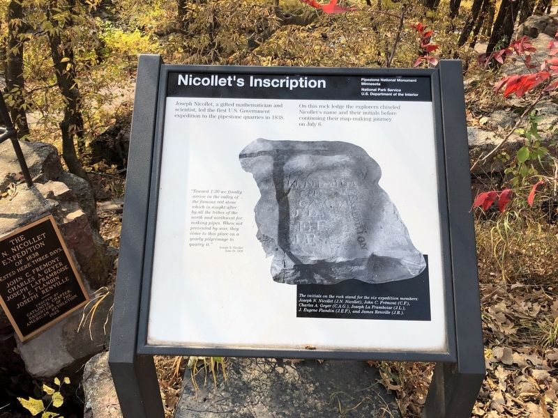
Nicollet's Inscription
Photographed by Ruth VanSteenwyk, October 9, 2020
1. Nicollet's Inscription Marker
Joseph Nicollet, a gifted mathematician and scientist, led the first U.S. Government expedition to the pipestone quarries in 1838.
On this rock ledge the explorers chiseled Nicollet's name and their initials before continuing their map-making journey on July 6.
"Toward 1:30 we finally arrive in the valley of the famous red stone which is sought after by all the tribes of the north and northwest for making pipes. When not prevented by war, they come to this place on a yearly pilgrimage to quarry it."
Joseph N. Nicollet
June 29, 1838
Photo caption
The initials on the rock stand for the six expedition members:
Joseph N. Nicollet (J.N. Nicollet), John C. Fremont (C.F.)
Charles A. Geyer (C.A.G.), Joseph La Framboise (J.L.),
J. Eugene Flandin (J.E.F.). and James Renville (J.R.).
Erected by Pipestone National Monument Minnesota and National Park Service.
Topics. This historical marker is listed in these topic lists: Exploration • Indigenous Peoples and Communities. A significant historical date for this entry is June 29, 1838.
Location. 44° 0.937′ N, 96° 19.262′ W. Marker is in Pipestone, Minnesota, in Pipestone
this page online

Regionally, this marker is in Southwest Minnesota. It is also in the American Midwest, in the Corn Belt, and on the Great Plains. Globally, it is in North America, the Western Hemisphere, the Western World, and the Anglosphere. Historically, it finds itself in what was once Rupert’s Land, the territory of the Mississippian Culture, and the Louisiana Purchase.
Other nearby markers. At least 8 other markers are within walking distance of this marker: The Nicollet Expedition (here, next to this marker); The J.N. Nicollet Expedition Of 1838 (here, next to this marker); Pipestone Creek (approx. 0.2 miles away); Prairie: Past and Present (approx. 0.2 miles away); Spotted Pipestone Quarry (approx. 0.2 miles away); Quarry Layers (approx. ¼ mile away); Connection to the Earth Mother (approx. 0.3 miles away); Pipestone Pilgrimage (approx. 0.3 miles away). Touch for a list and map
Photographed by Ruth VanSteenwyk, October 9, 2020
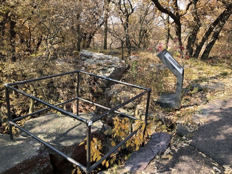
2. Nicollet's Inscription Marker
Also see . . . Pipestone National Monument Information. (Submitted on April 1, 2021, by Ruth VanSteenwyk of Aberdeen, South Dakota.)
Photographed by Ruth VanSteenwyk, October 9, 2020
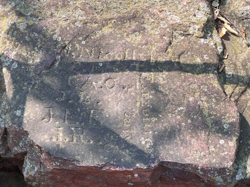
3. Original Nicollet initials.
Credits. This page was last revised on April 1, 2021. It was originally submitted on April 1, 2021, by Ruth VanSteenwyk of Aberdeen, South Dakota. This page has been viewed 662 times since then and 37 times this year. Photos: 1, 2, 3. submitted on April 1, 2021, by Ruth VanSteenwyk of Aberdeen, South Dakota. • Mark Hilton was the editor who published this page.
