
Cedar Creek Hundred in Ellendale in Sussex County, Delaware — The American Northeast (Mid-Atlantic)
John Sudler Isaacs
Photographed by Pete Skillman, April 1, 2021
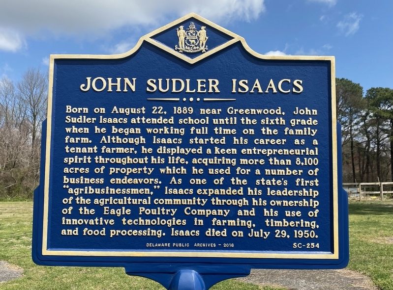
1. John Sudler Isaacs Marker
Born on August 22, 1889 near Greenwood, John Sudler Isaacs attended school until the sixth grade when he began working full time on the family farm. Although Isaacs started his career as a tenant farmer, he displayed a keen entrepreneurial spirit throughout his life, acquiring more than 8,100 acres of property which he used for a number of business endeavors. As one of the state's first "agribusinessmen," Isaacs expanded his leadership of the agricultural community through his ownership of the Eagle Poultry Company and his use of innovative technologies in farming, timbering, and food processing. Isaacs died on July 29, 1950.
Erected 2016 by Delaware Public Archives. (Marker Number SC-254.)
Topics and series. This historical marker is listed in these topic lists: Agriculture • Industry & Commerce. In addition, it is included in the Delaware Public Archives series list. A significant historical date for this entry is August 22, 1889.
Location. 38° 49.626′ N, 75° 20.633′ W. Marker is in Ellendale, Delaware, in Sussex County. It is in Cedar Creek Hundred. It is at the intersection of Cedar Creek Road (Delaware Route 30) and
this page online

Regionally, this marker is in the American Mid-Atlantic, on the Delmarva Peninsula, and on the Eastern Seaboard. Globally, it is in the North Atlantic Region, North America, the Western Hemisphere, the Western World, and the Anglosphere. Historically, it finds itself in what was once New Netherland, one of the original Thirteen Colonies, and the Antebellum South.
Other nearby markers. At least 8 other markers are within 4 miles of this marker, measured as the crow flies: Site of Reynold's Church (approx. 1.1 miles away); Reynolds M.E. Church (approx. 1.1 miles away); Cedar Creek Hundred (approx. 1.9 miles away); Slaughter Neck United Methodist Church (approx. 2.9 miles away); Milton (approx. 3.1 miles away); Milton Public School #196-C (approx. 3.2 miles away); Absalom Jones (approx. 3.3 miles away); 406 Union Street (approx. 3½ miles away).
Also see . . . John Sudler Isaacs and His Times (Part 1).
Photographed by Pete Skillman, April 1, 2021
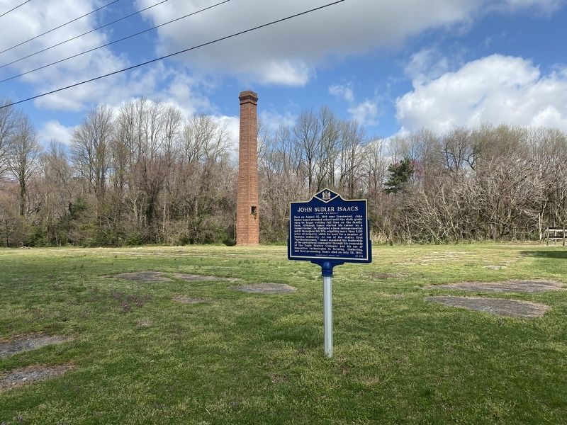
2. Site of the John S. Isaacs Bean Cannery. The chimney is all that remains of the original building.
Photographed by Pete Skillman, April 1, 2021
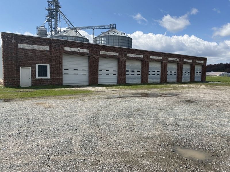
3. Across the street from the marker, the garage for the John S. Isaacs Bean Cannery still stands.
Credits. This page was last revised on July 20, 2026. It was originally submitted on April 1, 2021, by Pete Skillman of Wilmington, Delaware. This page has been viewed 2,205 times since then and 228 times this year. Photos: 1, 2, 3. submitted on April 1, 2021, by Pete Skillman of Wilmington, Delaware. • Bill Pfingsten was the editor who published this page.
