Watertown in Codington County, South Dakota — The American Midwest (Upper Plains)
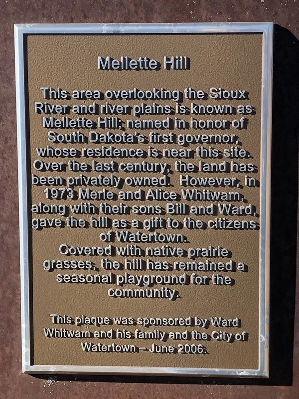
Mellette Hill
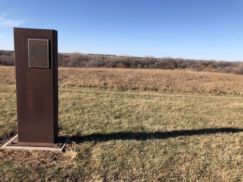
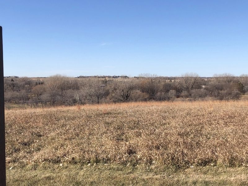
This area overlooking the Sioux River and river plains is known as Mellette Hill; named in honor of South Dakota's first governor, whose residence is near this site.
Over the last century, the land has been privately owned. However, in 1973 Merle and Alice Whitwam, along with their sons Bill and Ward, gave the hill as a gift to the Citizens of Watertown.
Covered with native prairie grasses, the hill has remained a seasonal playground for the community.
Erected 2006 by Ward Whitwam and his family and the City of Watertown.
Topics. This historical marker is listed in this topic list: Parks & Recreational Areas. A significant historical year for this entry is 1973.
Location. 44° 54.556′ N, 97° 7.331′ W. Marker is in Watertown, South Dakota, in Codington County. Marker is at the intersection of Skyline Drive and 7th Avenue North West on Skyline Drive. Touch for map. Marker is at or near this postal address: 700 Skyline Drive, Watertown SD 57201, United States of America. Touch for directions.
Other nearby markers. At least 8 other markers are within walking distance of this marker. Mellette House (approx. 0.2 miles away); Arthur Calvin Mellette (approx. 0.2 miles away); Fire and Rescue (approx. half a mile away); Minneapolis and St. Louis Depot (approx. 0.6 miles away); Old M. & St. L. Depot Museum (approx. 0.6 miles away); Rail & Industrial Center (approx. 0.6 miles away); Warehouse (approx. 0.6 miles away); Office Building (approx. 0.6 miles away). Touch for a list and map of all markers in Watertown.
Credits. This page was last revised on April 5, 2021. It was originally submitted on April 1, 2021, by Ruth VanSteenwyk of Aberdeen, South Dakota. This page has been viewed 96 times since then and 7 times this year. Photos: 1, 2, 3. submitted on April 1, 2021, by Ruth VanSteenwyk of Aberdeen, South Dakota. • Bill Pfingsten was the editor who published this page.


