Lexington in Fayette County, Kentucky — The American South (East South Central)
Masterson's Station
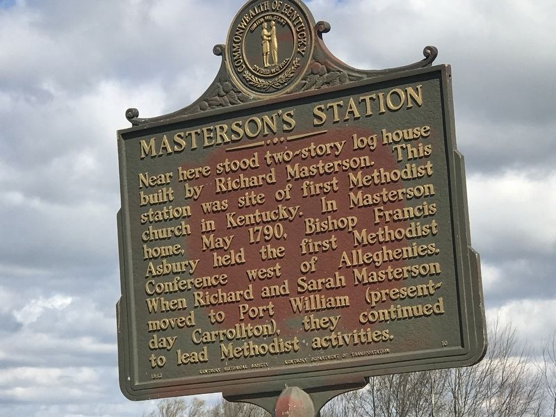
Photographed by Duane and Tracy Marsteller, March 28, 2021
1. Masterson's Station Marker
Erected 1983 by Kentucky Historical Society and Kentucky Department of Transportation. (Marker Number 10.)
Topics and series. This historical marker is listed in these topic lists: Religion & Religious Structures • Settlements & Settlers. In addition, it is included in the Francis Asbury, Traveling Methodist Preacher, and the Kentucky Historical Society series lists. A significant historical month for this entry is May 1790.
Location. 38° 5.417′ N, 84° 33.463′ W. Marker is in Lexington, Kentucky, in Fayette County. It is at the intersection of Leestown Road (U.S. 421) and Ruffian Way, on the right when traveling north on Leestown Road. Marker is at entrance to Masterson Station Park. Touch for map. Marker is at or near this postal address: 3051 Leestown Road,
this page online

Regionally, this marker is in Kentucky’s Bluegrass Region. It is also in the American South and specifically in the Upper South. Globally, it is in North America, the Western Hemisphere, the Western World, and the Anglosphere. Historically, it finds itself in what was once the territory of the Mississippian Culture and also the Antebellum South.
Other nearby markers. At least 8 other markers are within 2 miles of this marker, measured as the crow flies: Early Land Grant (approx. one mile away); Geology And The Land (approx. 1½ miles away); Americas First West (approx. 1½ miles away); The Settlers (approx. 1½ miles away); Create An Agri-culture (approx. 1½ miles away); Breed Only The Best (approx. 1½ miles away); Nugent's Crossroad - Midway - Wallace Station (approx. 1½ miles away); Gentlemen Farmers and Burley Tobacco (approx. 1½ miles away). Touch for a list and map of all markers in Lexington.
Additional commentary.
1. Replacement marker
Original marker #10 was placed by the Historical Markers Society (HMS) in 1936. This is a newer marker that
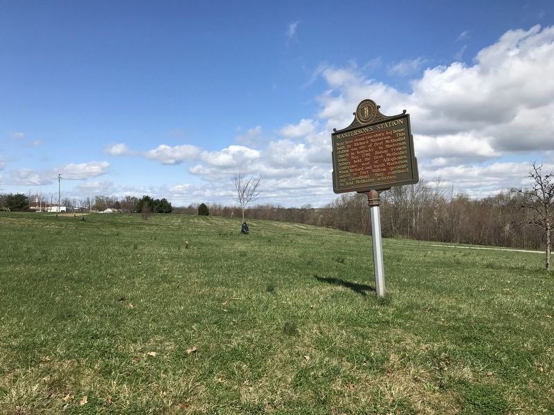
Photographed by Duane and Tracy Marsteller, March 28, 2021
2. Masterson's Station Marker
— Submitted March 11, 2025, by Mark Hilton of Montgomery, Alabama.
Credits. This page was last revised on March 11, 2025. It was originally submitted on April 3, 2021, by Duane and Tracy Marsteller of Murfreesboro, Tennessee. This page has been viewed 1,271 times since then and 91 times this year. Photos: 1, 2. submitted on April 3, 2021, by Duane and Tracy Marsteller of Murfreesboro, Tennessee.
