Lexington in Fayette County, Kentucky — The American South (East South Central)
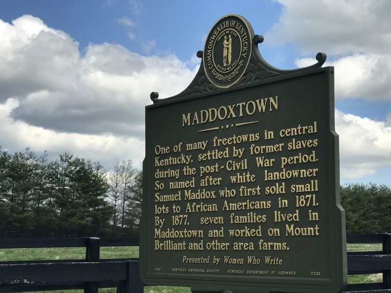
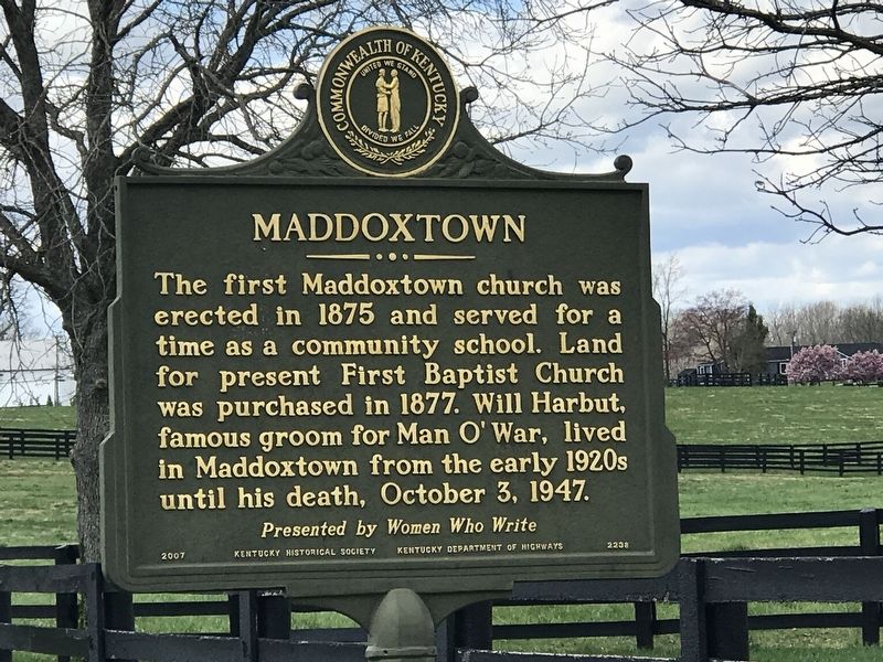
Maddoxtown
The first Maddoxtown church was erected in 1875 and served for a time as a community school. Land for present First Baptist Church was purchased in 1877. Will Harbut, famous groom for Man O’ War, lived in Maddoxtown from the early 1920s until his death, October 3, 1947.
Erected 2007 by Kentucky Historical Society and Kentucky Department of Highways. (Marker Number 2238.)
Topics and series. This historical marker is listed in these topic lists: African Americans • Churches & Religion • Settlements & Settlers. In addition, it is included in the Kentucky Historical Society series list. A significant historical year for this entry is 1871.
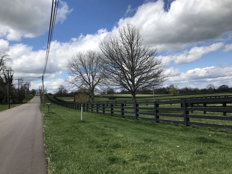
Location. 38° 7.669′ N, 84° 27.002′ W. Marker is in Lexington, Kentucky, in Fayette County. Marker is at the intersection of Huffman Mill Pike and Brilliant Lane, on the right when traveling west on Huffman Mill Pike. Touch for map. Marker is at or near this postal address: 3469 Huffman Mill Pike, Lexington KY 40511, United States of America. Touch for directions.
Other nearby markers. At least 8 other markers are within 4 miles of this marker, measured as the crow flies. Wing Commander / Famous Saddle Horse (approx. 1.8 miles away); Mt. Horeb Presbyterian Church (approx. 1.8 miles away); Glengarry Field-Cool Meadow / Fasig-Tipton Since 1898 (approx. 2.1 miles away); Dr. Robert Peter (approx. 2.8 miles away); Coldstream Farm (approx. 3.3 miles away); Joyland Park Paris Pike (approx. 3.3 miles away); Lexington (approx. 3.3 miles away); Artistides (approx. 3.4 miles away). Touch for a list and map of all markers in Lexington.
Also see . . . Maddoxtown. From Kentucky Historical Society's ExploreKYHistory series. (Submitted on April 3, 2021, by Duane and Tracy Marsteller of Murfreesboro, Tennessee.)
Credits. This page was last revised on April 3, 2021. It was originally submitted on April 3, 2021, by Duane and Tracy Marsteller of Murfreesboro, Tennessee. This page has been viewed 313 times since then and 45 times this year. Photos: 1, 2, 3. submitted on April 3, 2021, by Duane and Tracy Marsteller of Murfreesboro, Tennessee.


