Louisa in Louisa County, Virginia — The American South (Mid-Atlantic)
Confederate Memorial
Photographed by Evan Dwyer, June 11, 2026
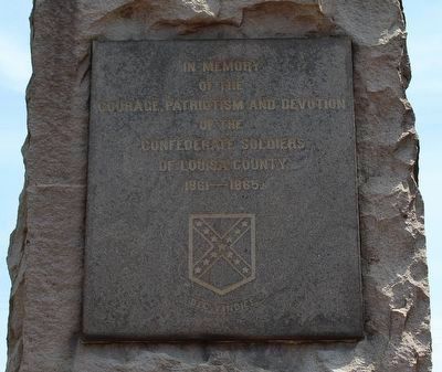
1. Confederate Memorial
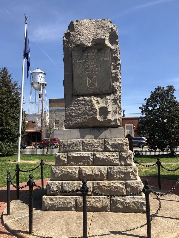
The inscription is on the rear of the memorial.
Erected 1905 by Louisa Confederate Monument Association, Louisa County Board of Supervisors.
Topics. This memorial is listed in this topic list: War, US Civil.
Location. 38° 1.477′ N, 78° 0.198′ W. Memorial is in Louisa, Virginia, in Louisa County. It is on West Main Street (U.S. 33) just north of Courthouse Square, on the left when traveling north. Touch for map. Memorial is at or near this postal address: 115 W Main St, Louisa VA 23093, United States of America. Touch for directions.

Regionally, this memorial is in the Piedmont and in Central Virginia. It is also in the American South and specifically in the Upper South. Globally, it is in North America, the Western Hemisphere, the Western World, and the Anglosphere. Historically, it finds itself in what was once the territory of the Mississippian Culture, one of the original Thirteen Colonies, one of the Confederate States of America, and the Antebellum South.
Other nearby markers. At least
this page online
Another marker is no longer nearby. Louisa Court House (was a few steps from this marker but has been replaced with another marker now near it).
Regarding Confederate Memorial. Though Louisa County veterans served on a variety of battlefields, the largest action within county boundaries was the Battle of Trevilian Station, fought on June 11-12, 1864. See the Battle of Trevilian Station Virtual Tour by Markers linked below for additional related markers on this battle.
Also see . . . Battle of Trevilian Station Virtual Tour by Markers.
April 3, 2021
2. Confederate Memorial
Rear of memorial
April 3, 2021
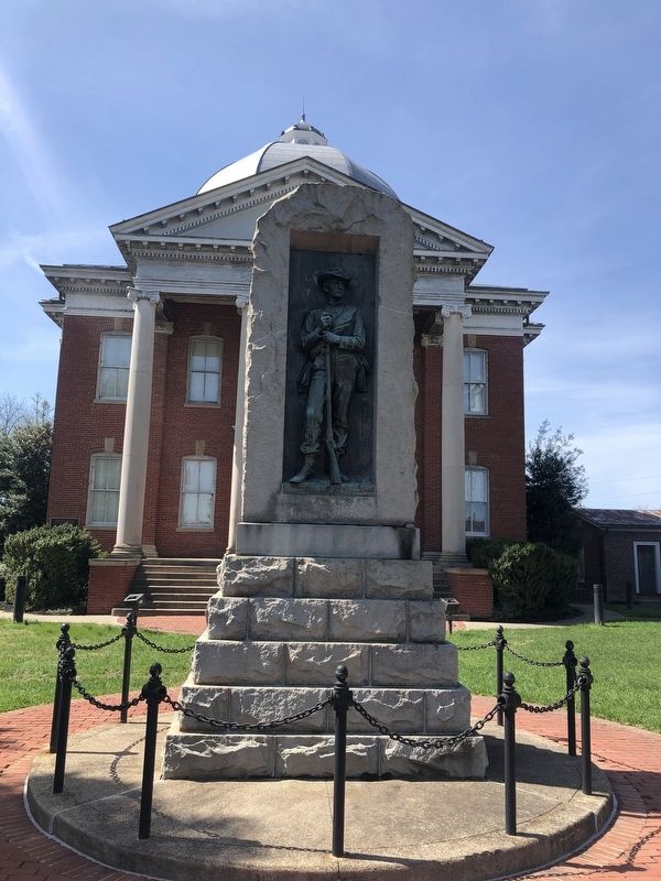
3. Confederate Memorial
Front of memorial

Photographed by Evan Dwyer, June 11, 2026
4. Confederate Memorial
Relief sculpture on the face of the monument.
Photographed by Evan Dwyer, June 11, 2026
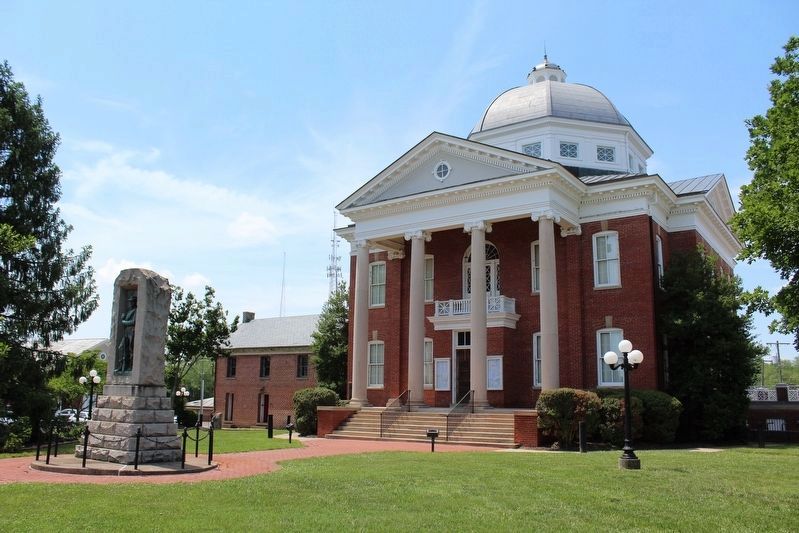
5. Confederate Memorial
Beyond the monument is the Louisa County Courthouse and historic county jail (at left). The oldest building on the square, the old clerk's office, is out of sight to the immediate right of the courthouse.
Photographed by Evan Dwyer, June 11, 2026
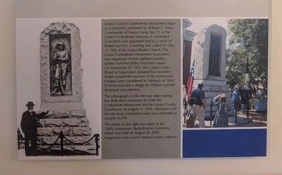
6. History of the Memorial
As shown in an exhibit within the Civil War Room of the Louisa County History Museum.
Credits. This page was last revised on August 15, 2026. It was originally submitted on April 4, 2021. This page has been viewed 835 times since then and 67 times this year. Photos: 1. submitted on August 12, 2026, by Evan Dwyer of Richmond, Virginia. 2, 3. submitted on April 4, 2021. 4, 5, 6. submitted on August 12, 2026, by Evan Dwyer of Richmond, Virginia.
