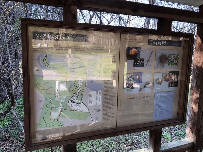
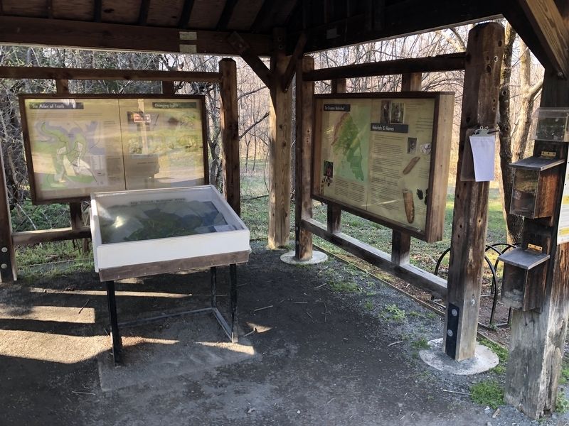
Six Miles of Trails
A network of more than six miles of walking trails leaves large areas of natural habitat undisturbed. The 1.5 mile Central Red Trail leads back to the parking lot and barn. All other trails stem from the Red Trail.
A 0.75-mile paved trail is provided for visitors with special needs. The parking lot, restrooms, barn and Education Building are all wheelchair-accessible.
Landmarks To Look For
Freestanding Stone Fences
Stones cleared from the land were used to build fences or walls. These often marked boundaries between fields or properties. Look for the beautiful stone retaining wall on the Red Trail above Martin's Branch. The long stone wall on the Red Trail near the intersection with the Orange Loop is cited on 19th-century land plats.
Farm Springs
Springs provided a source of clean drinking water and storage for perishable foodstuffs. To improve accessibility, springs were frequently cleaned out and built up. One example is off the Blue Trail.
Overlook To Hydraulic Mills
A thriving mill community known as Hydraulic Mills was located on Ivy Creek at the confluence with the Rivanna River. Once a central commercial and social community for the African American neighborhood of Union Ridge, Hydraulic Mills is now under the reservoir. There is an overlook
Historic Roads
Throughout the natural area are the remnants of both public and farm roads, many of which led to the village of Hydraulic Mills.
Erected by Ivy Creek Foundation.
Topics. This historical marker is listed in these topic lists: African Americans • Industry & Commerce • Roads & Vehicles • Settlements & Settlers.
Location. 38° 5.472′ N, 78° 29.585′ W. Marker is near Charlottesville, Virginia, in Albemarle County. It is in Roslyn Ridge. Marker can be reached from Earlysville Road (County Road 743) 0.3 miles south of Woodlands Road, on the right when traveling south. Touch for map. Marker is at or near this postal address: 1780 Earlysville Rd, Charlottesville VA 22901, United States of America. Touch for directions.
Other nearby markers. At least 8 other markers are within 2 miles of this marker, measured as the crow flies. Legacy of Hugh Carr / The Village of Hydraulic Mills (here, next to this marker); The Origins of Ivy Creek Natural Area (a few steps from this marker); Old Springs (approx. 0.2 miles away); Rio Hill 1864 Skirmish (approx. 1.2 miles away); Rio Hill (approx. 1.2 miles away); Skirmish at Rio Hill (approx. 1.2 miles away); “The Albemarle 26”
Credits. This page was last revised on February 2, 2023. It was originally submitted on April 4, 2021, by Devry Becker Jones of Washington, District of Columbia. This page has been viewed 213 times since then and 23 times this year. Photos: 1, 2. submitted on April 4, 2021, by Devry Becker Jones of Washington, District of Columbia.

