Hernando in DeSoto County, Mississippi — The American South (East South Central)
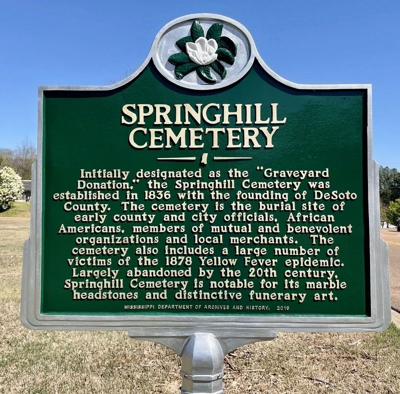
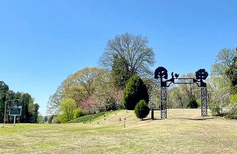
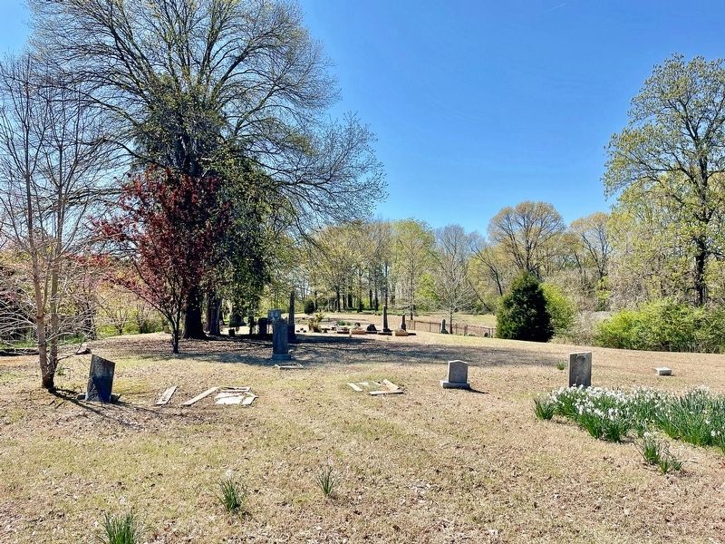
Springhill Cemetery
Erected 2019 by Mississippi Department of Archives and History.
Topics and series. This historical marker is listed in this topic list: Cemeteries & Burial Sites. In addition, it is included in the Mississippi State Historical Marker Program series list. A significant historical year for this entry is 1836.
Location. 34° 48.962′ N, 90° 0.075′ W. Marker is in Hernando, Mississippi, in DeSoto County. Marker is at the intersection of West Oak Grove Road and College Street, on the right when traveling west on West Oak Grove Road. Touch for map. Marker is at or near this postal address: 671 W Oak Grove Rd, Hernando MS 38632, United States of America. Touch for directions.
Other nearby markers. At least 8 other markers are within 2 miles of this marker, measured as the crow flies. Baptist Industrial College (approx. ¼ mile away); Hernando Central School (approx. 0.3 miles away); "Beale Town Bound" (approx. 0.4 miles away); Trade helped the Indians develop ties with Hernando de Soto (approx. 0.6 miles away); Historic artwork in this courthouse portrays our regions past (approx. 0.6 miles away); The Dickinson Family (approx. 0.6 miles away); Hernando (approx. 0.6 miles away); Colonel Samuel Powel (approx. 1.2 miles away). Touch for a list and map of all markers in Hernando.
Credits. This page was last revised on April 6, 2021. It was originally submitted on April 6, 2021, by Mark Hilton of Montgomery, Alabama. This page has been viewed 278 times since then and 21 times this year. Photos: 1, 2, 3. submitted on April 6, 2021, by Mark Hilton of Montgomery, Alabama.


